 United Nations South Africa
26d ago
United Nations South Africa
26d ago
▶
Why Early Warning Systems Matter: El Niño Arrives in 2026
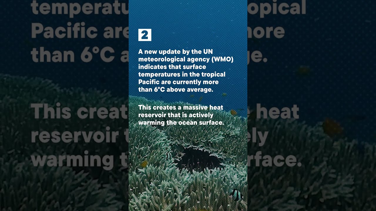
The World Meteorological Organization has confirmed it: El Niño is developing across the Pacific Ocean in 2026. Forecasters estimate an 80% probability through August, rising to 90% or higher through November.
What does El Niño mean for the world—and for South Africa?
The Science:
The warm ocean waters that characterise El Niño drive above-average temperatures nearly everywhere. Rainfall patterns shift, bringing both droughts and intense precipitation depending on the region. Cyclones intensify. Heat waves spread. And climate change is amplifying all of these impacts, making them faster and more severe.
Why It Matters:
In South Africa, El Niño years historically bring temperature spikes, changed rainfall patterns, and water stress. For farmers, for schools, for health systems, for entire communities, the impacts are real.
The Solution:
This is why the UN issued an urgent call this week: countries must strengthen early warning systems now. Not after the crisis. Not when disaster strikes. Now.
Early warning systems work. They save lives. They give communities time to prepare. They allow governments to coordinate response. But only if we invest in them before we need them.
5 Key Facts:
1. El Niño probability reaches 80% through August 2026, 90%+ through November
2. Above-average temperatures forecast nearly everywhere
3. Rainfall patterns will shift, bringing both droughts and intense rainfall
4. Extreme weather—cyclones, heat waves, floods—will intensify
5. Climate change is making all of these impacts worse and faster
This is what climate action means in 2026: evidence-based forecasting, timely preparation and people-centred adaptation.
#ElNiño #ClimateAction