 IEG WorldBankGroup
348d ago
IEG WorldBankGroup
348d ago
▶
SESSION 3: LIGHTNING TALKS—Unveiling Innovations in The Use of Remote Sensing for Impact Evaluation
Geospatial Symposium—Unlocking the Potential of Geospatial Analysis for Evaluation
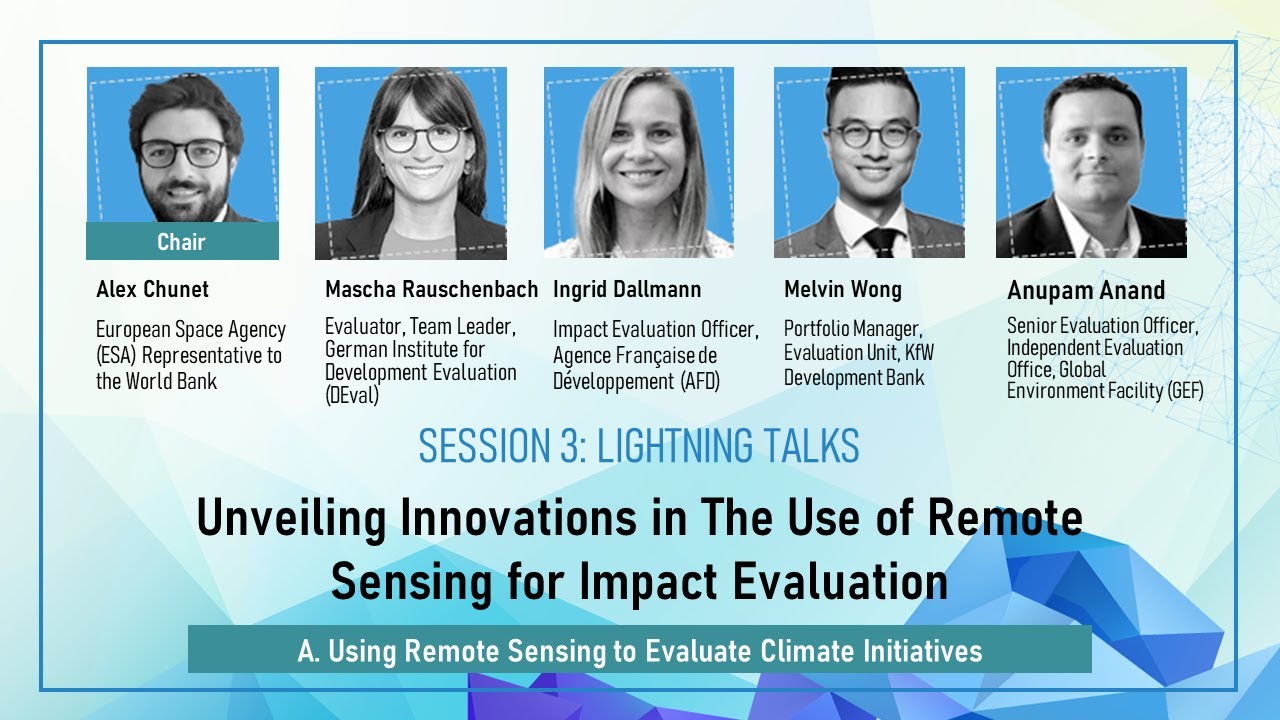
SESSION 3: LIGHTNING TALKS
Unveiling Innovations in The Use of Remote Sensing for Impact Evaluation, Part A. Using Remote Sensing to Evaluate Climate Initiatives
00:00-01:28 Introduction: SESSION 3: LIGHTNING TALKS—Unveiling Innovations in The Use of Remote Sensing for Impact Evaluation, Part A. Using Remote Sensing to Evaluate Climate Initiatives
01:29-12:37 Setting The Stage: Using Remote Sensing for Monitoring and Impact Evaluation by Alex Chunet, European Space Agency (ESA) Representative to the World Bank
12:39-29:14 Does Irrigation Strengthen Climate Resilience? A Geospatial Impact Evaluation of Interventions in Mali by Mascha Rauschenbach, Evaluator, Team Leader, German Institute for Development Evaluation (DEval)
29:15-50:45 Geospatial Impact Evaluation of the KfW and the AFD Conservation Portfolio on Forest Cover Loss by Ingrid Dallmann, Impact Evaluation Officer, Agence Française de Développement (AFD) and Melvin Wong, Portfolio Manager, Evaluation Unit, KfW Development Bank
50:46-1:06:36 Beyond the Field Trip: Practical Remote Sensing for Assessing Environment and Climate Interventions by Anupam Anand, Senior Evaluation Officer, Independent Evaluation Office, Global Environment Facility (GEF)
1:06:37 Q&A
PRESENTATIONS
Setting The Stage: Using Remote Sensing for Monitoring and Impact Evaluation by Alex Chunet, European Space Agency (ESA) Representative to the World Bank
https://ieg.worldbankgroup.org/sites/default/files/Data/06_Alex%20Chunet_Setting%20the%20stage_EO_NEW.pdf
Does Irrigation Strengthen Climate Resilience? A Geospatial Impact Evaluation of Interventions in Mali by Mascha Rauschenbach, Evaluator, Team Leader, German Institute for Development Evaluation (DEval)
https://ieg.worldbankgroup.org/sites/default/files/Data/07_Mascha%20Rauschenbach_DEval_GIE_Mali_2024.pdf
Geospatial Impact Evaluation of the KfW and the AFD Conservation Portfolio on Forest Cover Loss by Ingrid Dallmann, Impact Evaluation Officer, Agence Française de Développement (AFD) and Melvin Wong, Portfolio Manager, Evaluation Unit, KfW Development Bank
https://ieg.worldbankgroup.org/sites/default/files/Data/08_Ingrid%20Dallmann-NEW_202404IEG_AFD_KfW.pdf
Beyond the Field Trip: Practical Remote Sensing for Assessing Environment and Climate Interventions by Anupam Anand, Senior Evaluation Officer, Independent Evaluation Office, Global Environment Facility (GEF)
https://ieg.worldbankgroup.org/sites/default/files/Data/09_Anupam%20Anand_IEG_LT.pdf
RELATED CONTENT
Leveraging Image Data for Evaluations (Methods Paper)
https://ieg.worldbankgroup.org/evaluations/leveraging-imagery-data-evaluations
Poverty Mapping: Innovative Approaches to Creating Poverty Maps with New Data Sources (Methods Paper)
https://ieg.worldbankgroup.org/evaluations/poverty-mapping-innovative-approaches-creating-poverty-maps-new-data-sources
Why evaluators should embrace the use of geospatial data during Covid-19 (Coronavirus) and beyond (Blog)
https://ieg.worldbankgroup.org/blog/why-evaluators-should-embrace-use-geospatial-data-during-covid-19-coronavirus-and-beyond
When evaluators cannot make it to the field, they can always observe from space (Blog)
https://ieg.worldbankgroup.org/blog/when-evaluators-cannot-make-it-field-they-can-always-observe-space