▶
SEPAL in action: Turning satellite data into better forest decisions
FAO - Food and Agriculture Organization of the United Nations
Food and Agriculture Organization of the United Nations
Rome
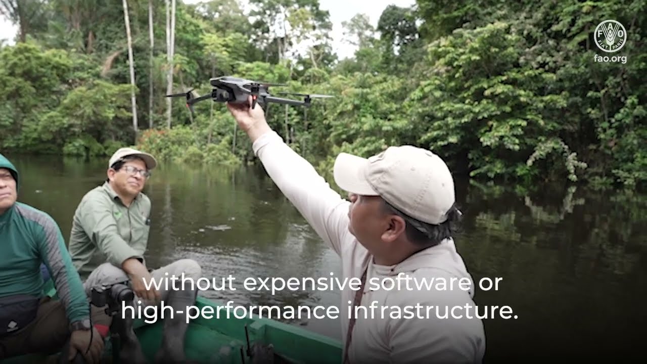
Forests are changing fast, and better decisions depend on reliable information. SEPAL is FAO’s open-source, cloud-based Earth observation platform that transforms satellite data into critical information for forest and land monitoring. By providing instant access to millions of satellite images, SEPAL helps users analyse environmental change without the need for expensive software or high-performance computing infrastructure. Around the world, SEPAL is supporting stronger forest monitoring and informed decision-making. SEPAL is also part of FAO’s Open Foris initiative.
Find the application at sepal.io
Learn more about SEPAL https://www.fao.org/in-action/sepal/en Learn about AIM4Forests https://www.fao.org/in-action/aim4forests/
Subscribe! http://www.youtube.com/subscription_center?add_user=FAOoftheUN
Follow FAO on social media!
* Facebook - https://www.facebook.com/UNFAO
* Instagram - https://instagram.com/fao
* LinkedIn - https://www.linkedin.com/company/fao
* TikTok - https://www.tiktok.com/@fao
* Twitter - http://www.twitter.com/fao/
* Weibo - https://www.weibo.com/unfao
© FAO: http://www.fao.org #SDGs #Agenda2030 #GlobalGoals