...ricultural productivity, and overall planetary health. However, existing global satellite-derived albedo products are generally available at coarse spatial resolutions, limiting th...

...ricultural productivity, and overall planetary health. However, existing global satellite-derived albedo products are generally available at coarse spatial resolutions, limiting th...

...at runs from space.
This is a story of wildfires, where we go inside Europe's satellite-based wildfire intelligence network, from the Copernicus Emergency Management Programme tr...
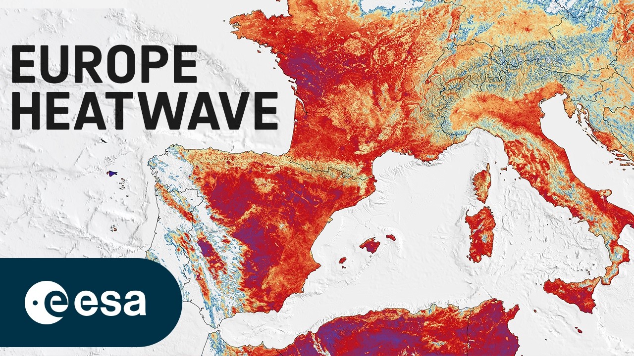
...ne day ever.
This image was captured the same day by the Copernicus Sentinel-3 satellite, which measures land surface temperature from space.
Unlike air temperature, land surface...

...ricultural productivity, and overall planetary health. However, existing global satellite-derived albedo products are generally available at coarse spatial resolutions, limiting th...
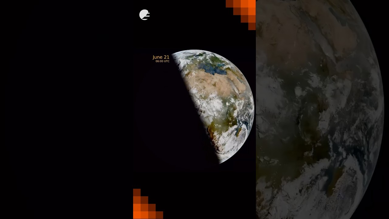
This animation shows daily snapshots at 06:00 UTC from Meteosat-12’s Flexible Combined Imager, tracking the terminator (the line between day and night) as it swings from the December solstice, thro...
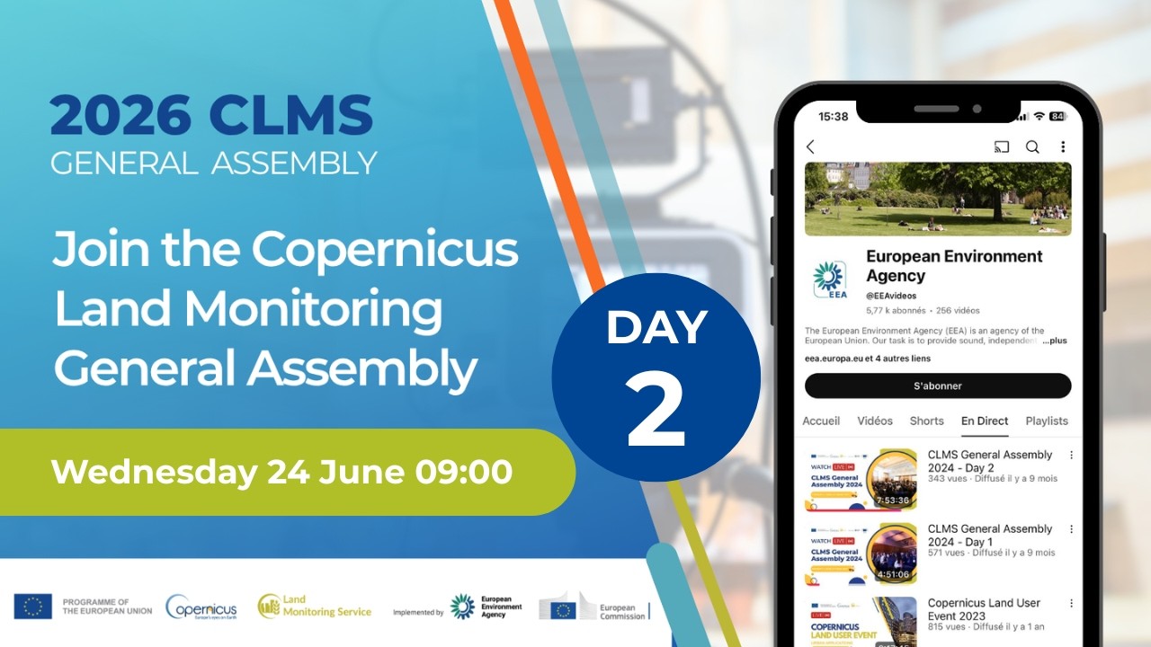
Welcome to the live stream of the CLMS General Assembly 2026 – Day 2
The third General Assembly of the CLMS is taking place on June 23rd – 24th 2026. In connection with this, the third National Co...
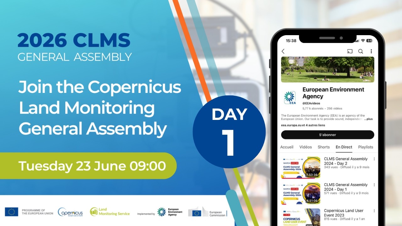
Welcome to the live stream of the CLMS General Assembly 2026 – Day 1
The third General Assembly of the CLMS is taking place on June 23rd – 24th 2026. In connection with this, the third National Co...
Watch our making-of and the effort that went into capturing this special moment. 👀
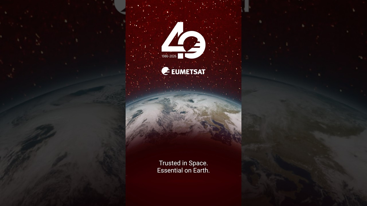
On Friday we marked 40 years of serving our Member States and the planet. 🛰
Here’s to the people behind the data.
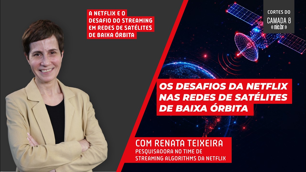
Neste episódio do Camada 8, Renata Teixeira, pesquisadora do time de Streaming Algorithms da Netflix, explica como funcionam as conexões via satélites de órbita baixa (LEO), como a Starlink, e os d...
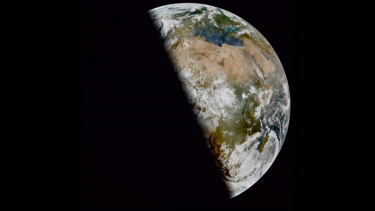
...us most directly at the sun. ☀️
From geostationary orbit, EUMETSAT’s Meteosat satellites watch this play out in real time: the ‘terminator’, the line dividing day from night, swi...
SEPAL in action: Turning satellite data into better forest decisions
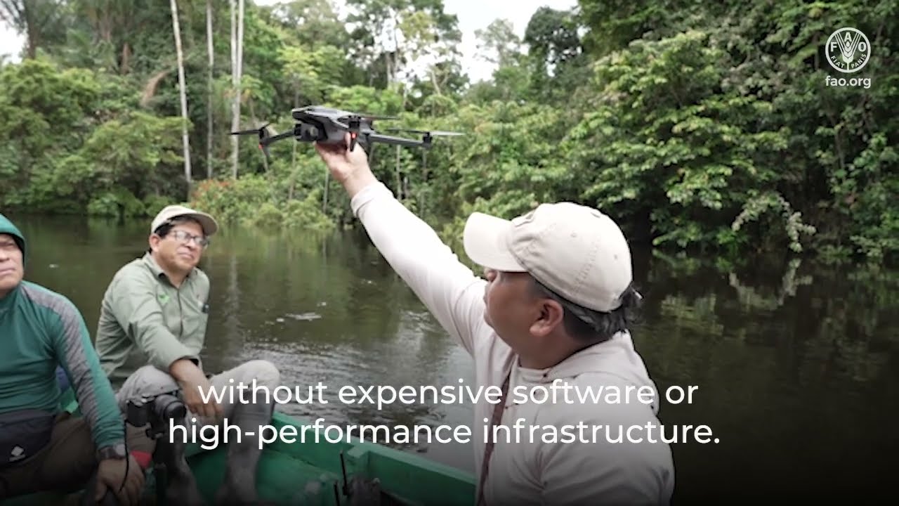
...AL is FAO’s open-source, cloud-based Earth observation platform that transforms satellite data into critical information for forest and land monitoring. By providing instant access...
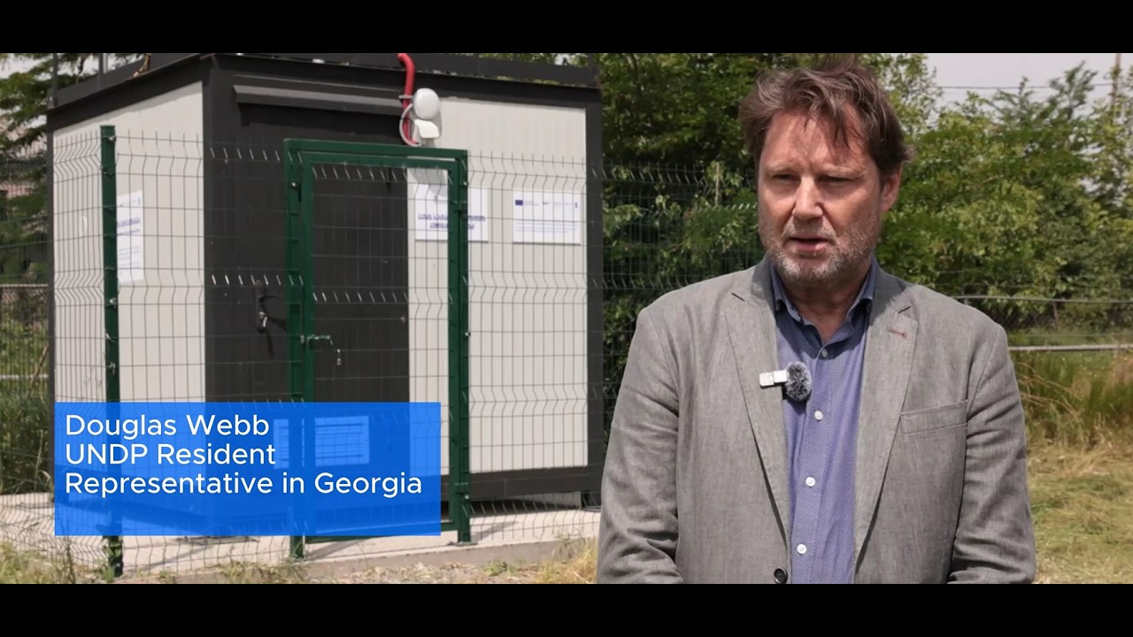
Douglas Webb, UNDP Resident Representative in Georgia, highlights the launch of ten new air quality monitoring stations across Georgia.
The initiative is implemented under the EU-funded project th...
Module 3 Lecture 3: Application of HY-1 Data in Red Tide Monitoring
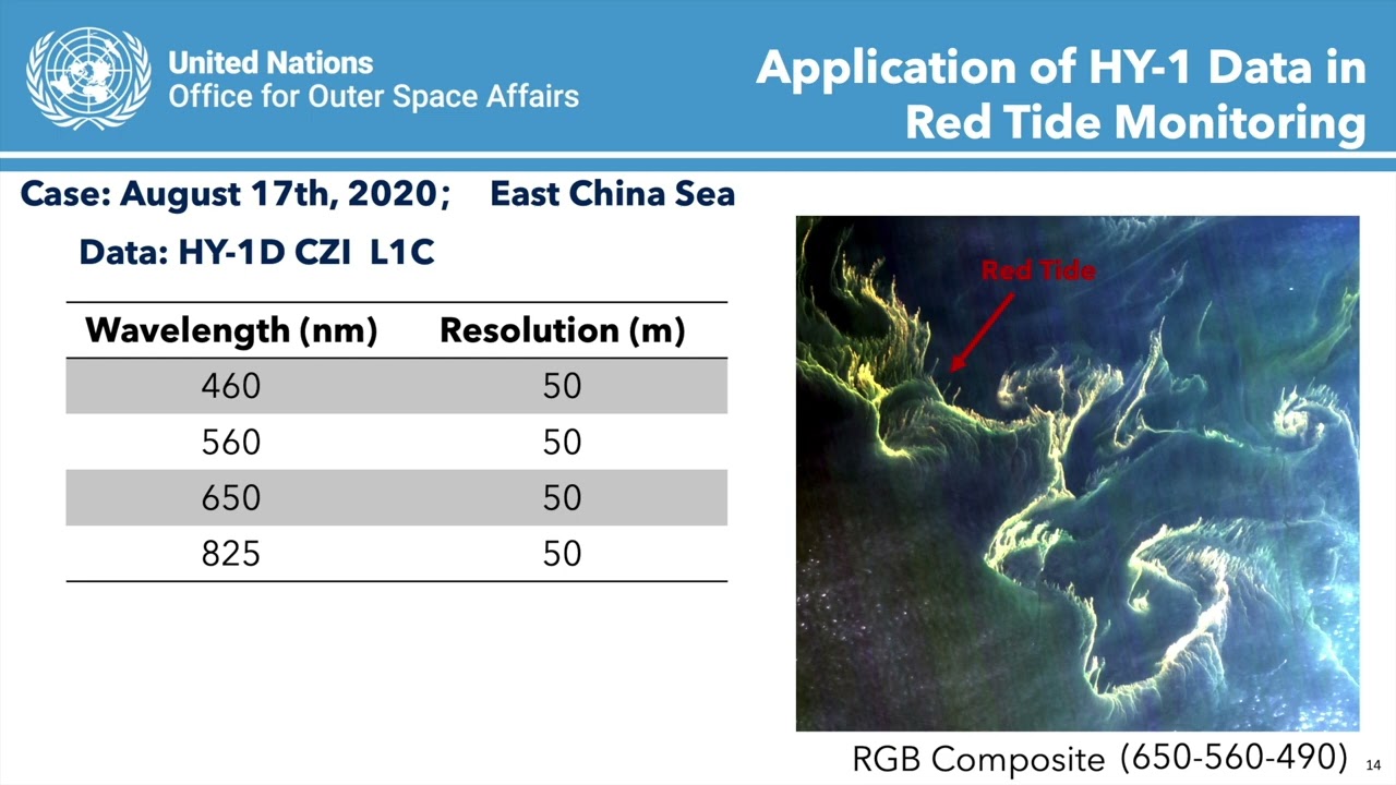
... Earth Observation for Sustainable Development: Harnessing the Power of Chinese Satellites — jointly developed by Wuhan University, UNU-INWEH, UN-SPIDER Beijing Office, and APSCO.
...
Module 3 Lecture 1: Introduction to HaiYang Satellites
... Earth Observation for Sustainable Development: Harnessing the Power of Chinese Satellites — jointly developed by Wuhan University, UNU-INWEH, UN-SPIDER Beijing Office, and APSCO.
...

China’s activity around Taiwan is shifting from occasional major military drills to a more persistent operational presence. Frequent aircraft and naval deployments, expanded surveillance, and incre...

...stakeholders in Asia and the Pacific with a clear and practical overview of how satellite-derived methane data fits within the broader methane monitoring, inventory, and measuremen...
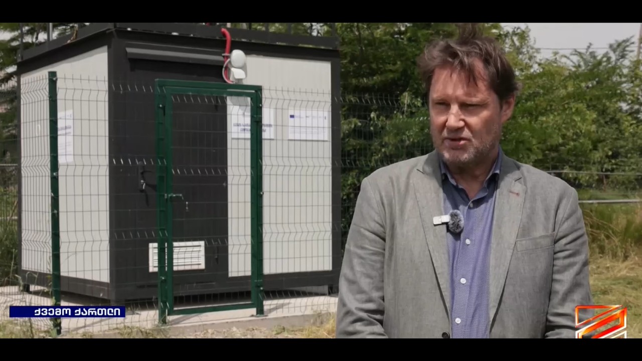
Georgia is expanding its air quality monitoring network with EU and UN support. On 29 May, representatives of the European Union, UNDP, WHO, and the National Environmental Agency visited one of the...
Module 5 Lecture 3 Applications of Luojia 3 Satellites
... Earth Observation for Sustainable Development: Harnessing the Power of Chinese Satellites — jointly developed by Wuhan University, UNU-INWEH, UN-SPIDER Beijing Office, and APSCO.
...
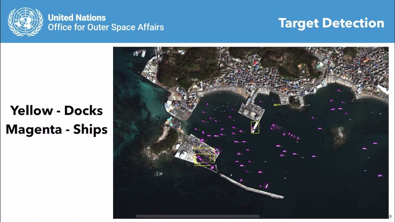
Module 4 Lecture 3 Information Extraction with High Resolution Optical Satellite Imagery
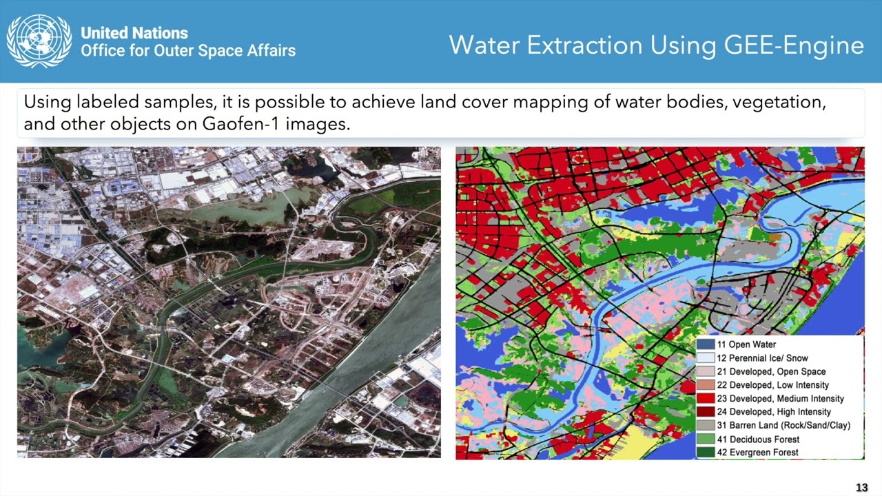
... Earth Observation for Sustainable Development: Harnessing the Power of Chinese Satellites — jointly developed by Wuhan University, UNU-INWEH, UN-SPIDER Beijing Office, and APSCO.
...