
▶
SEABAS – Solving The Puzzle
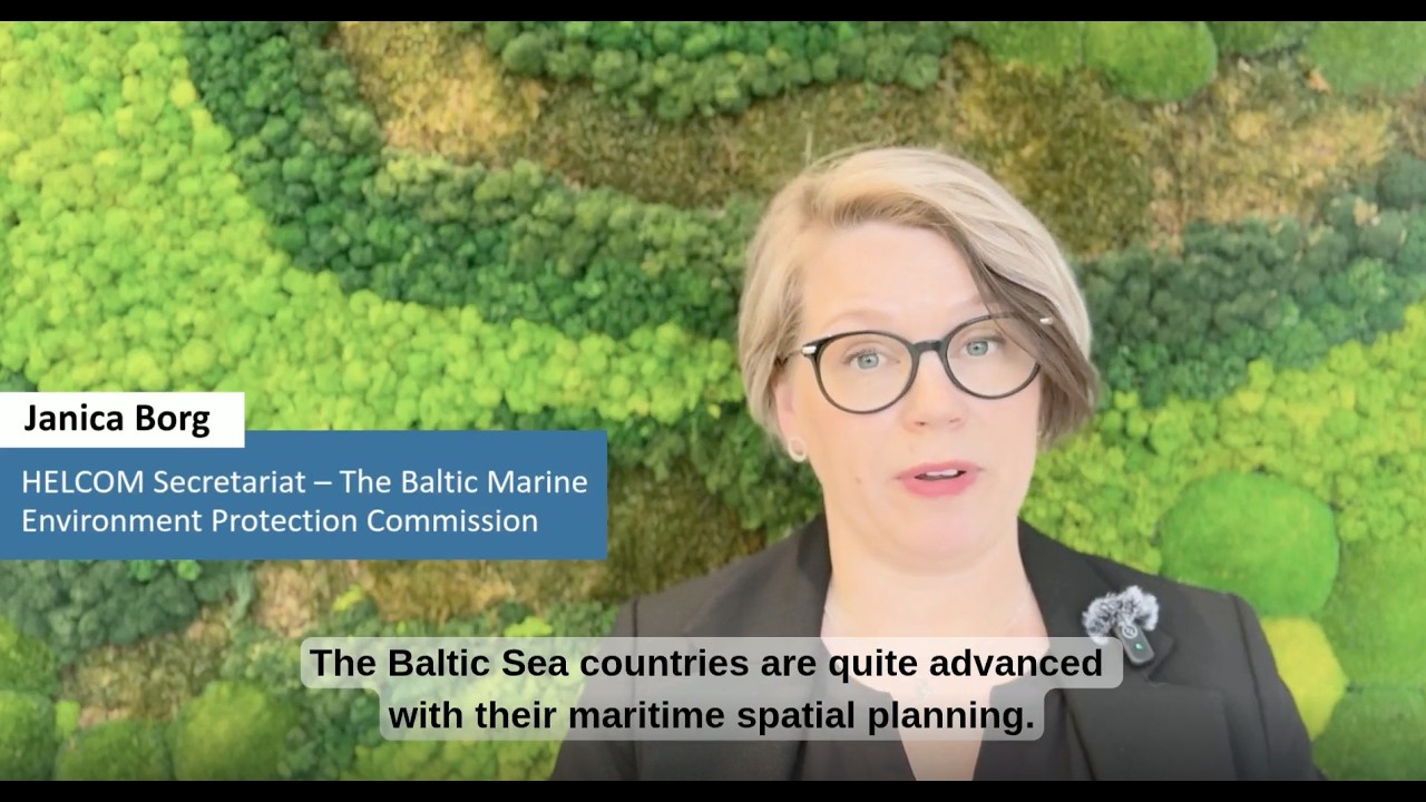
Maritime spatial planning (MSP) has been a key asset for the Baltic Sea countries in making effective use of the limited yet busy sea area from surface to seafloor. The surrounding countries are solving this puzzle nationally, whereas human activities at sea and marine ecosystem resilience are both inherently transnational. Therefore, supporting environmental resilience and the blue economy, whilst ensuring the Baltic Sea’s recovery back to good health, requires regional policy, guidelines, and practical tools to be incorporated in maritime spatial planning.
The SEABAS project platform (2025-2027) aims to tackle this challenge by creating a regional framework that incorporates environmental resilience into maritime spatial planning. The framework offers guidelines, tools, and recommendations for integrating Strategic Environmental Assessment (SEA) into maritime spatial planning throughout the Baltic Sea region.