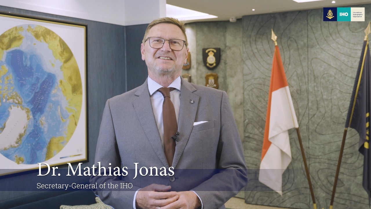
... progress is the result of decades of dedicated work by Member States, Regional Hydrographic Commissions, industry partners, and the staff of the IHO Secretariat. Thank you all for...
Happy World Hydrography Day 2026!🌊🌐
This year’s theme, “Transforming How Ocean Data Is Shared”, recognizes the growing importance of digital technologies and data interoperability in the maritime .
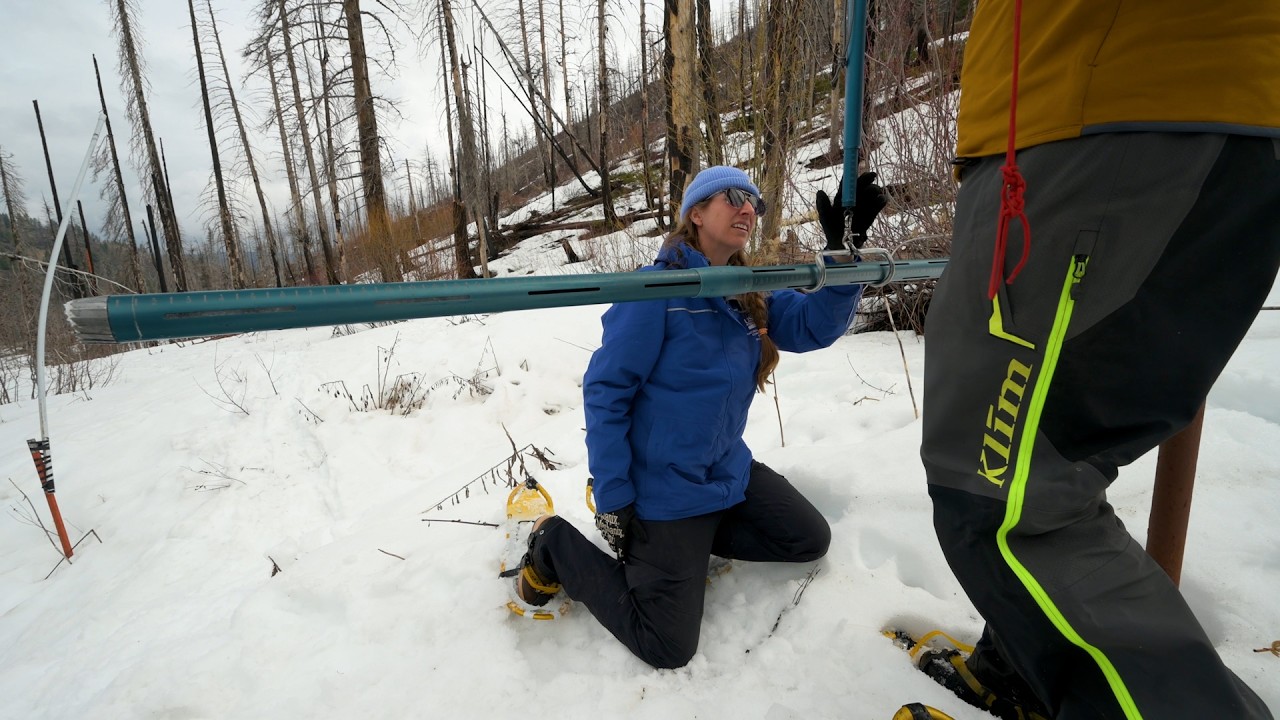
Hydrologists in Natural Resources Conservation Service’s Snow Survey and Water Supply Forecasting Program provide critical hydrologic data to farmers, ranchers, and forest landowners so they can ma...
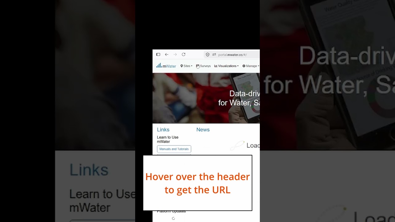
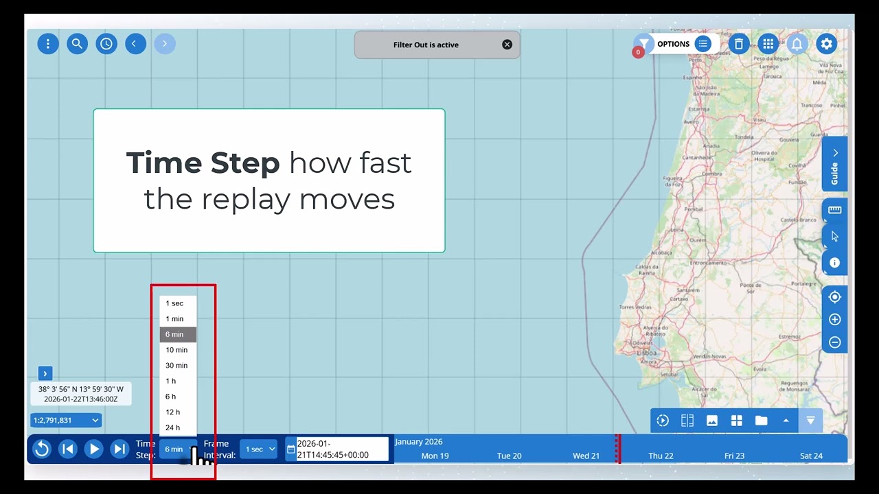
Now you can take users to exactly the part of a dashboard you like, either with a link from within a dashboard or by hyperlinking to it from elsewhere.
Just add a Heading to your dashboard, then ...

Watch the full event for the 100 years of the International Hydrographic Organization (IHO) celebrated on the roof top of the organization in Monaco !
In the last video of our shareholders' campaign, we highlight SHOM, the French Hydrography and Oceanography Service based in Brest.

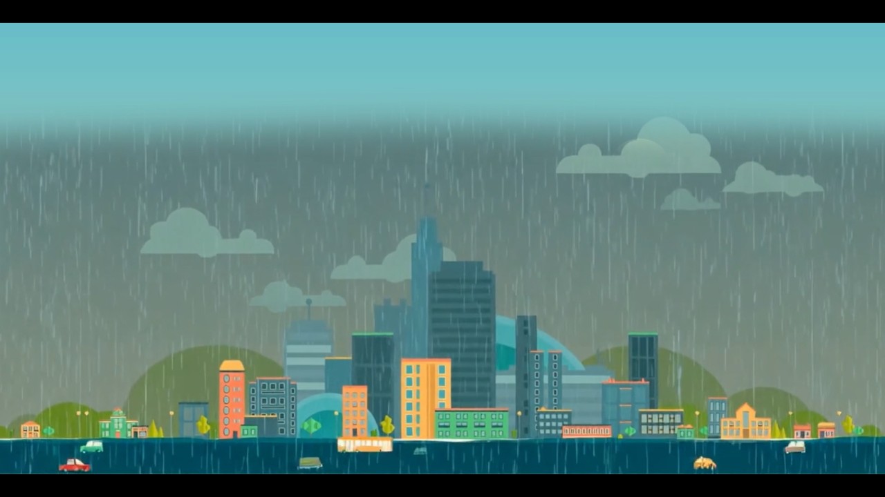
Floods are among the world’s most destructive natural hazards, and their impacts are growing as climate change and urban development increase vulnerability. Yet accurately mapping floods in real ti...
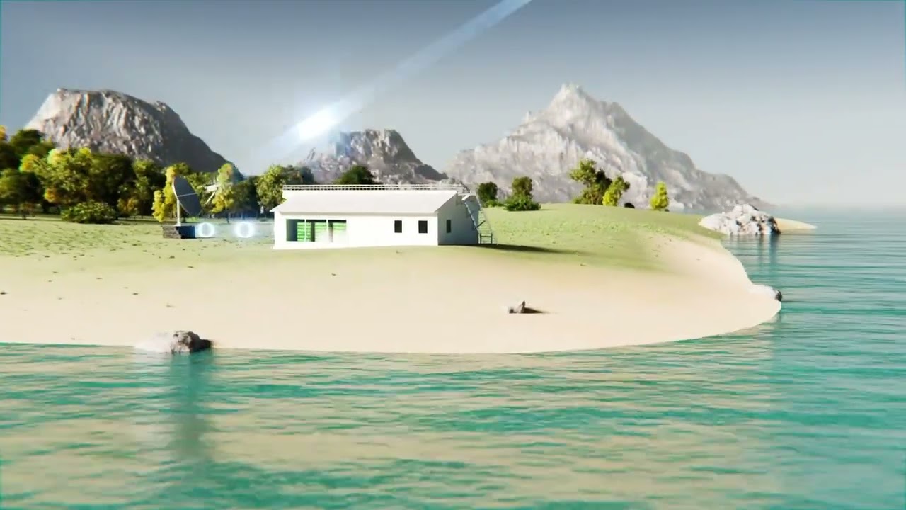
Le projet Hydromet, c'est quoi ?
A l’occasion de la journée météorologique mondiale, découvrez le projet Hydromet de la Commission de l’océan Indien (COI), qui renforce les capacités d’observation et de prévision hydrométéorologiq...
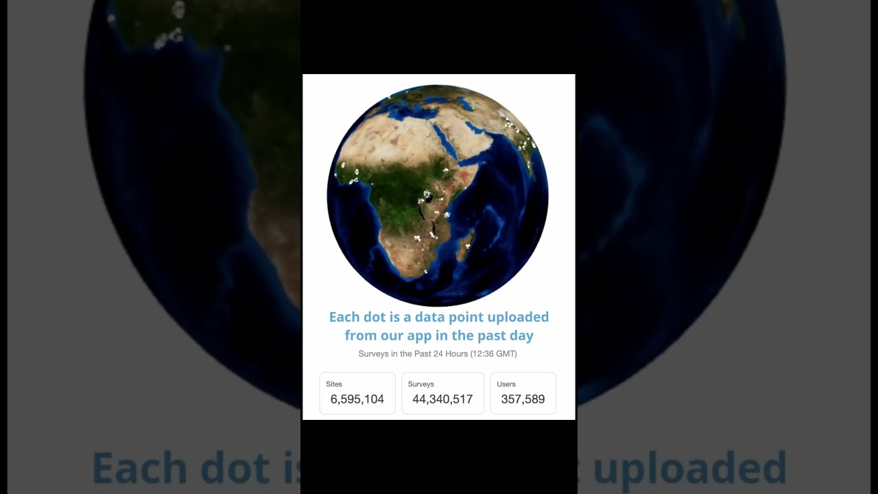
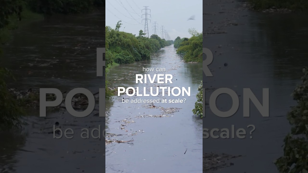
Behind every Interceptor deployment... 👀
There are months of research and collaboration with local authorities and communities to understand river pollution and where we can make the biggest impac..
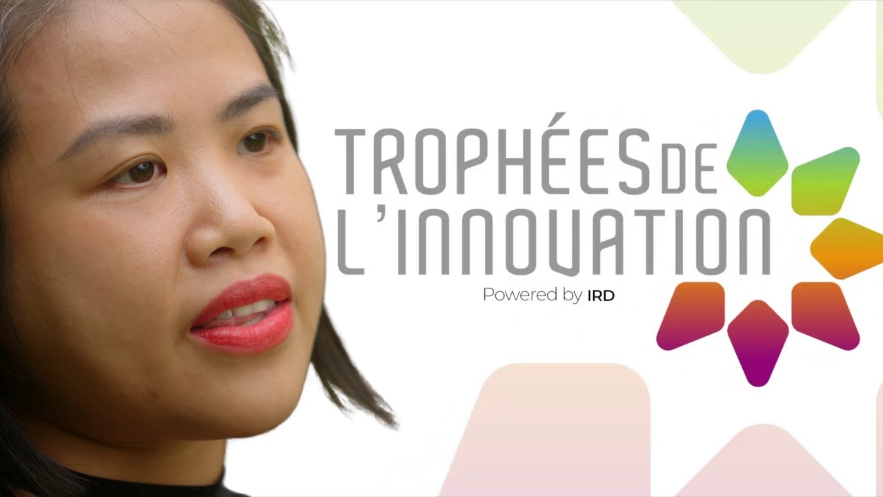
Découvrez O3, le cadre innovant développé par l’océanographe Huyen Thanh Tran, nominée aux Trophées de l’innovation 2025 de l’IRD.
O3 traite les données de radars haute fréquence et optimise les mo...
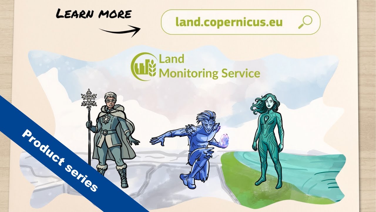
Now’s your chance to learn more about our Water, Snow, and Ice products in our introductory video — featuring three champions who use our data!
Are you a snow, winter, or water champion?
Learn mo...
...der Ocean Community?
Watch this video to hear what Tom Richardson from the UK Hydrographic Office, and chair of the S-101 Project Team has to say about the above and more.