 BirdLife Malta
288d ago
BirdLife Malta
288d ago
▶
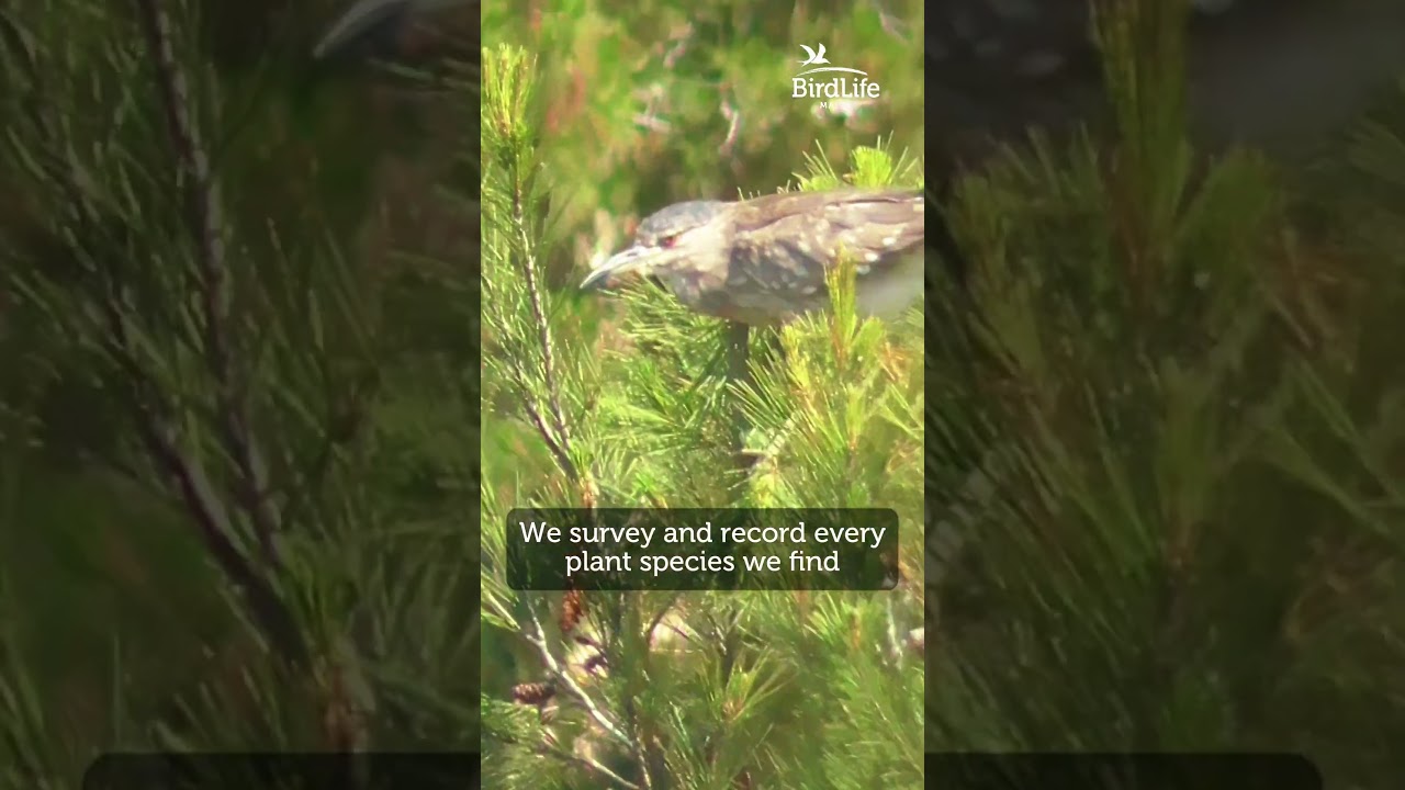
🗺️ Mapping Nature - How We Protect Plants with GIS & Drones
Did you know we use GIS mapping and drone photography to study Malta’s flora?
In Simar Nature Reserve, we:
🔹 Survey and record every plant species we find.
🔹 Use drones to capture aerial views of hard-to-reach spots like islets.
🔹 Plot the data on QGIS to understand plant distribution and habitats.
This map helps us decide where to plant, which areas need restoration and how to protect rare species. Technology meets conservation!
📷 Would you like to see an aerial map of your favourite nature reserve?
Filming by BirdLife Malta
Edited by Simone Davide Brunori
#NatureMapping #TechForNature #reservestuesdays #BirdLifeMalta