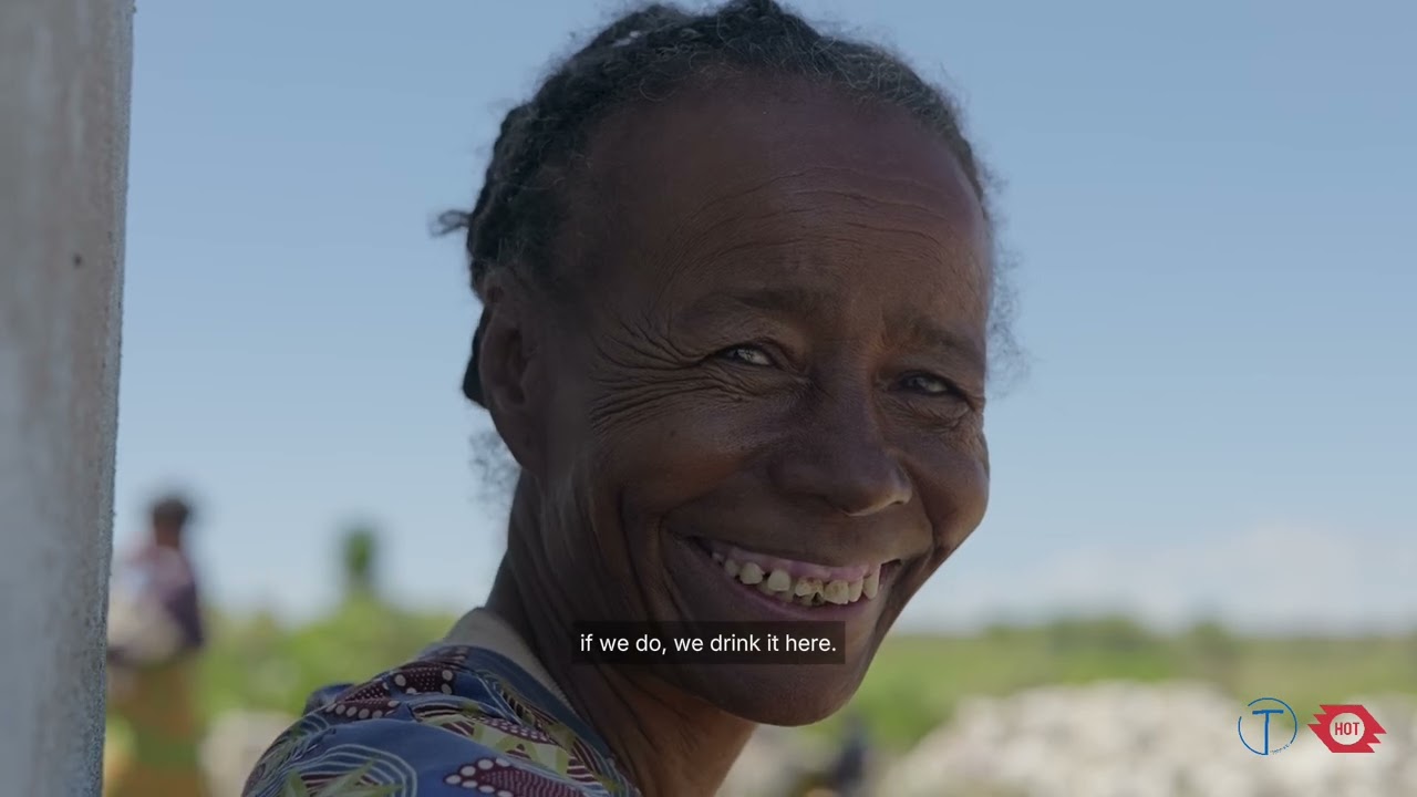
In 2023, the Humanitarian OpenStreetMap Team (HOT) awarded Tatirano a grant through its Open Mapping Grants program, an initiative backing local organizations in Eastern and Southern Africa to crea...
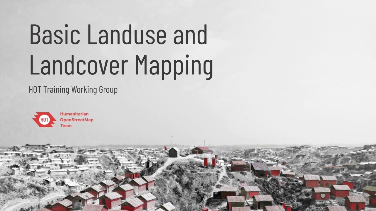
Learn the fundamentals of mapping land use and land cover within OpenStreetMap (OSM) for humanitarian purposes. In this recorded webinar hosted by the HOT Training Working Group, we explore how to ...
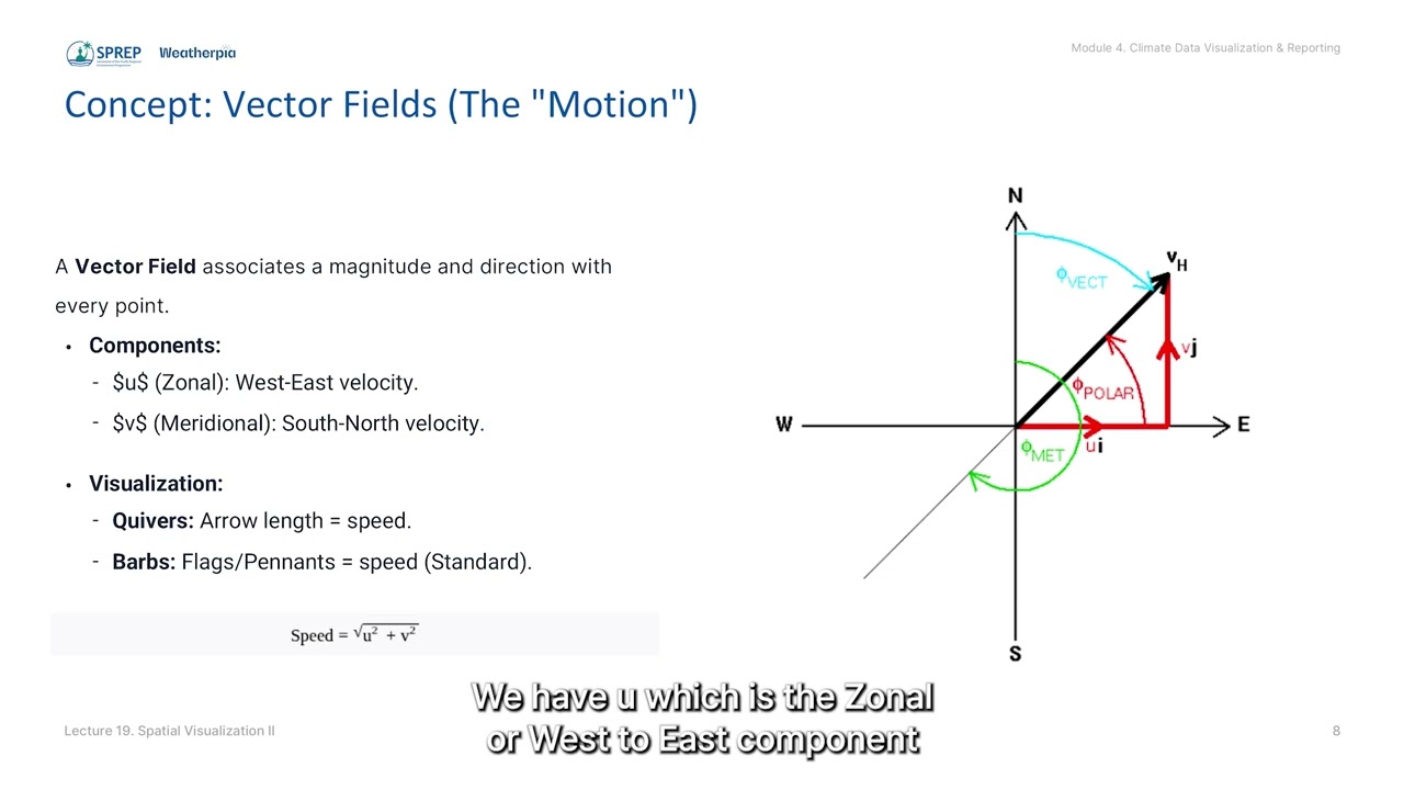
Lecture 19: Spatial Visualization II: Advanced Contour & Vector Plotting
Equips participants with Open Source tools to create advanced spatial maps, aiming to enhance national sovereignty over climate insights.
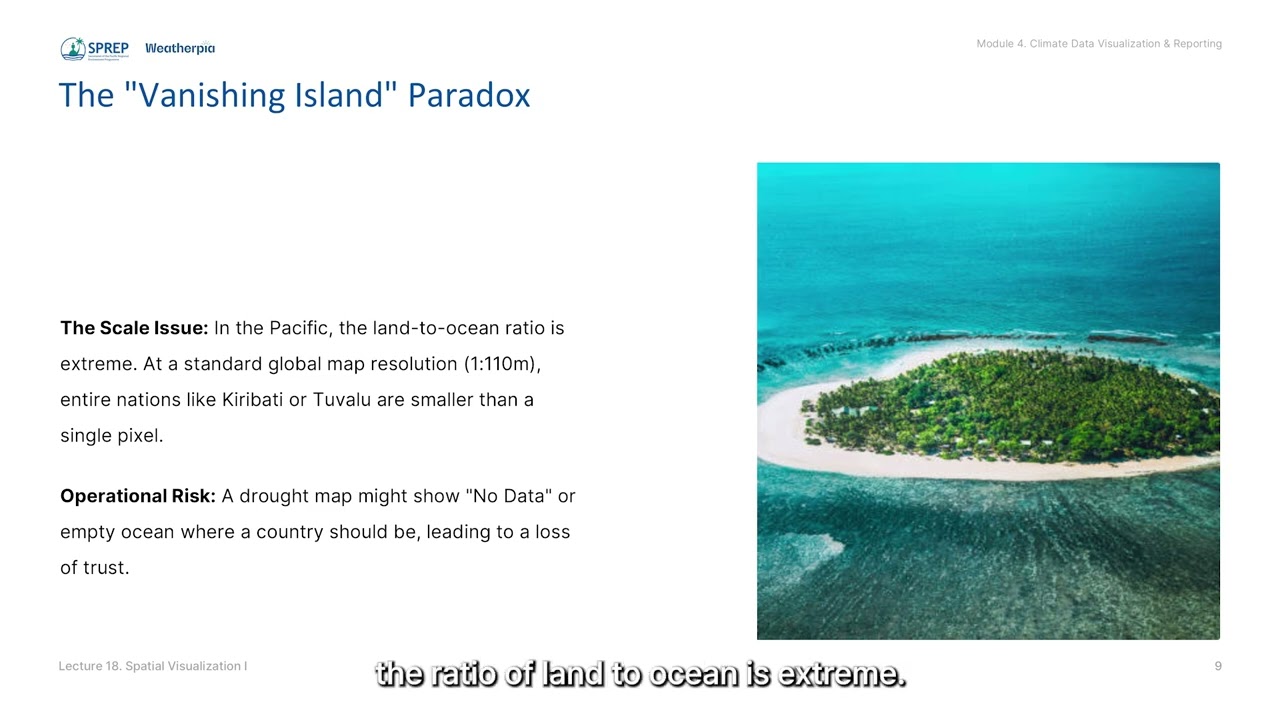
Lecture 18: Spatial Visualization I: Geographic Mapping with Cartopy/sf
Compares the Object-Oriented approach of Python’s Cartopy against the Grammar of Graphics approach of R’s sf and ggplot2 for powerful control over map projections.
Lecture 6: Understanding Climate Data Structures: Grid, Time and Level
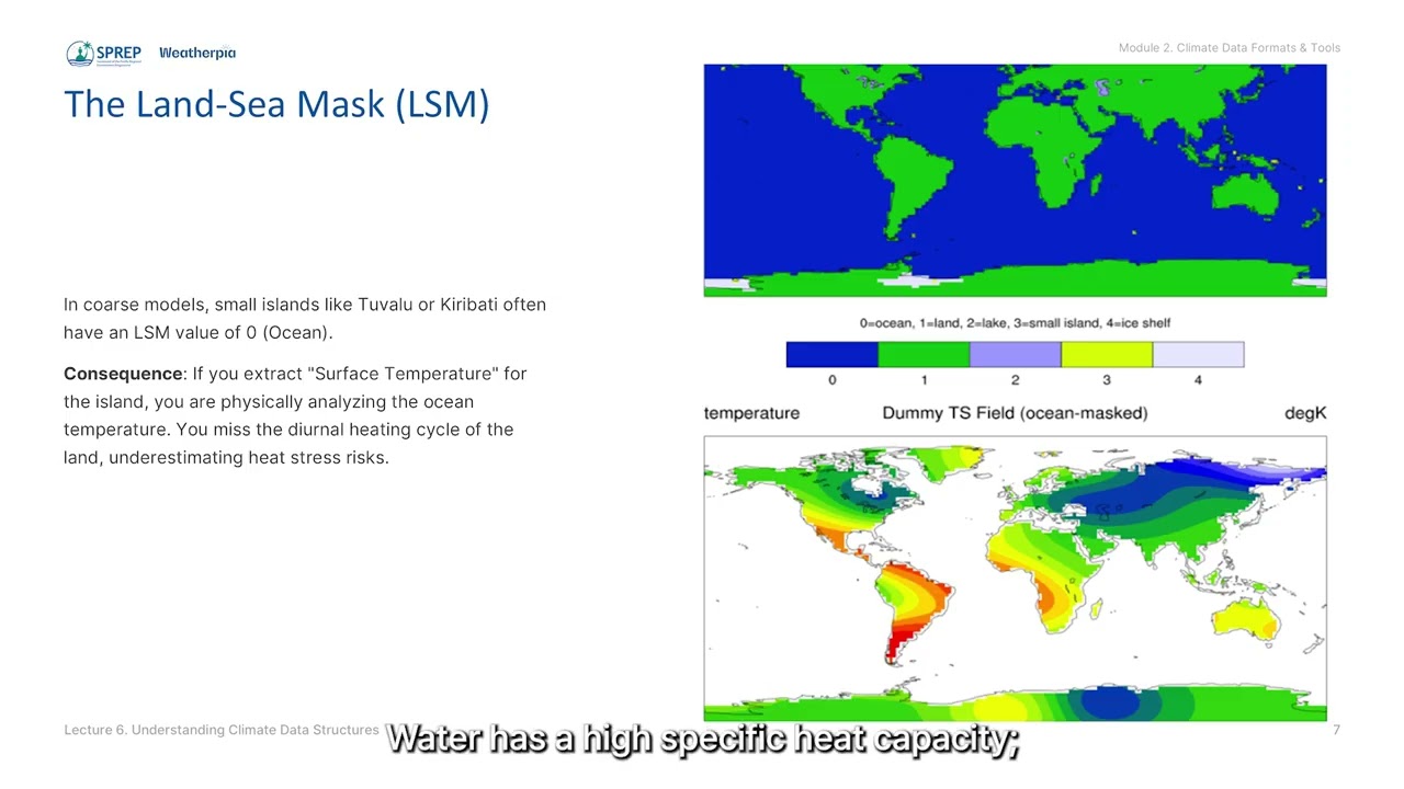
Deep dives into dimensions, variables and metadata while addressing Pacific-specific challenges like 0–360° longitude handling and land-sea masks on small atolls.
YouTube sensations and all-around cartographical nerds Jay Foreman and Mark Cooper-Jones—better known as Map Men—discuss their debut book, This Way Up: When Maps Go Wrong (and Why it Matters), a fu...
Mapping the ocean floor
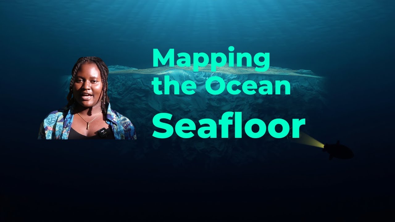
Explore how scientists map the ocean floor and why it’s so important for understanding our planet. #OceanMapping #SeafloorMapping #MarineScience #Oceanography #SonarTechnology #DeepSeaExploration #...
Why Africa Looks Different on Different Maps
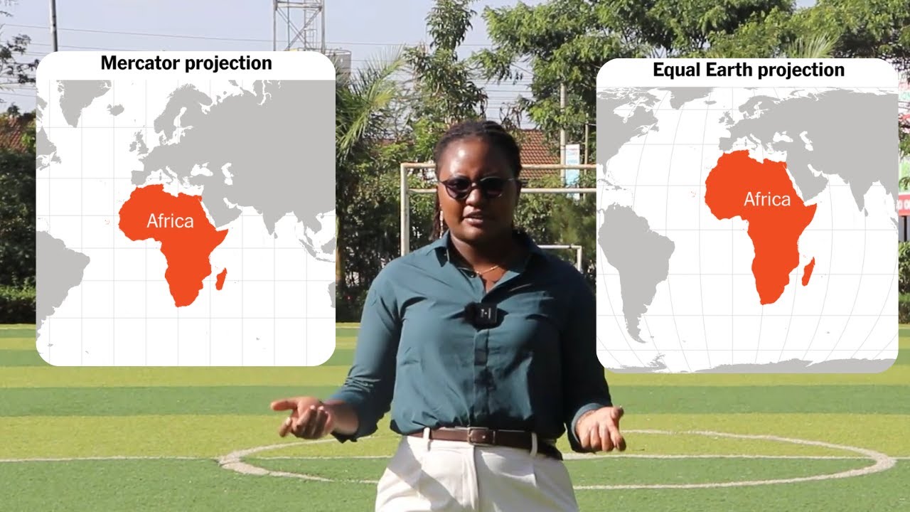
This video explains how map projections and coordinate systems change the way the world is drawn and why the Mercator projection, used in most maps today, makes countries near the equator appear sm...
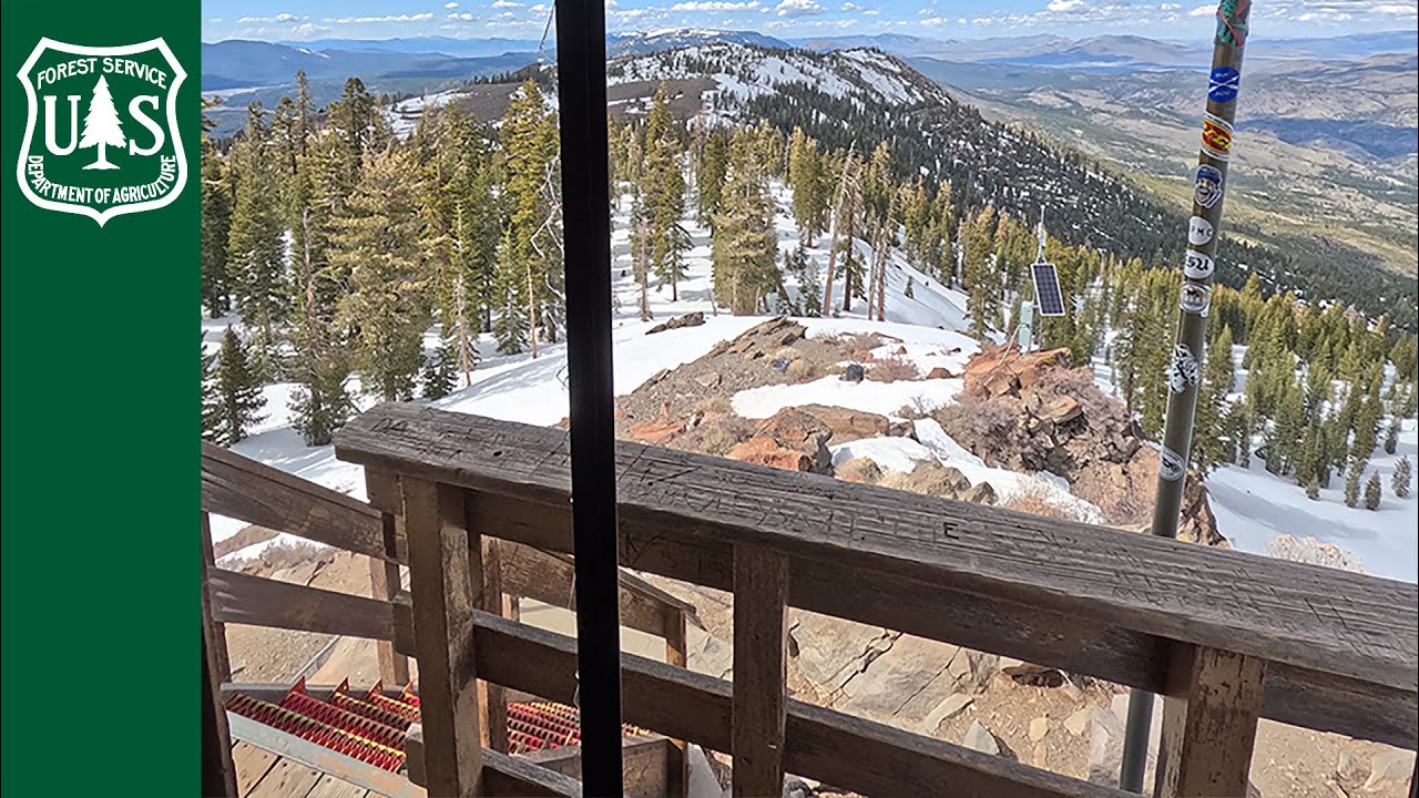
Join day-hikers (they don’t mind being called a Peak Bagger) as they hike more than 8 miles, roundtrip, for a little under 8 hours to try and bag 8,459-foot Verdi Peak on the Tahoe and Humboldt-Toi...

The 2nd Meeting of the Heads of Mapping Institutions of the Organization of Turkic States (OTS) was held on 3 December 2025 in Baku, Azerbaijan, bringing together senior representatives of civil an...
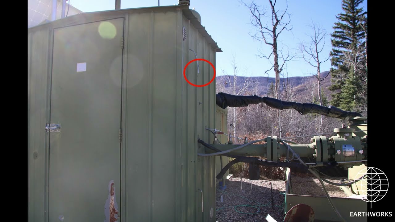
TEP Rocky Mountain - TEP Metering Station 39.419450, -107.790890
Garfield County, CO
(39.41945, -107.79089)
Filmed 10/21/2025
Making the Mapbook - behind the scenes(part 1)
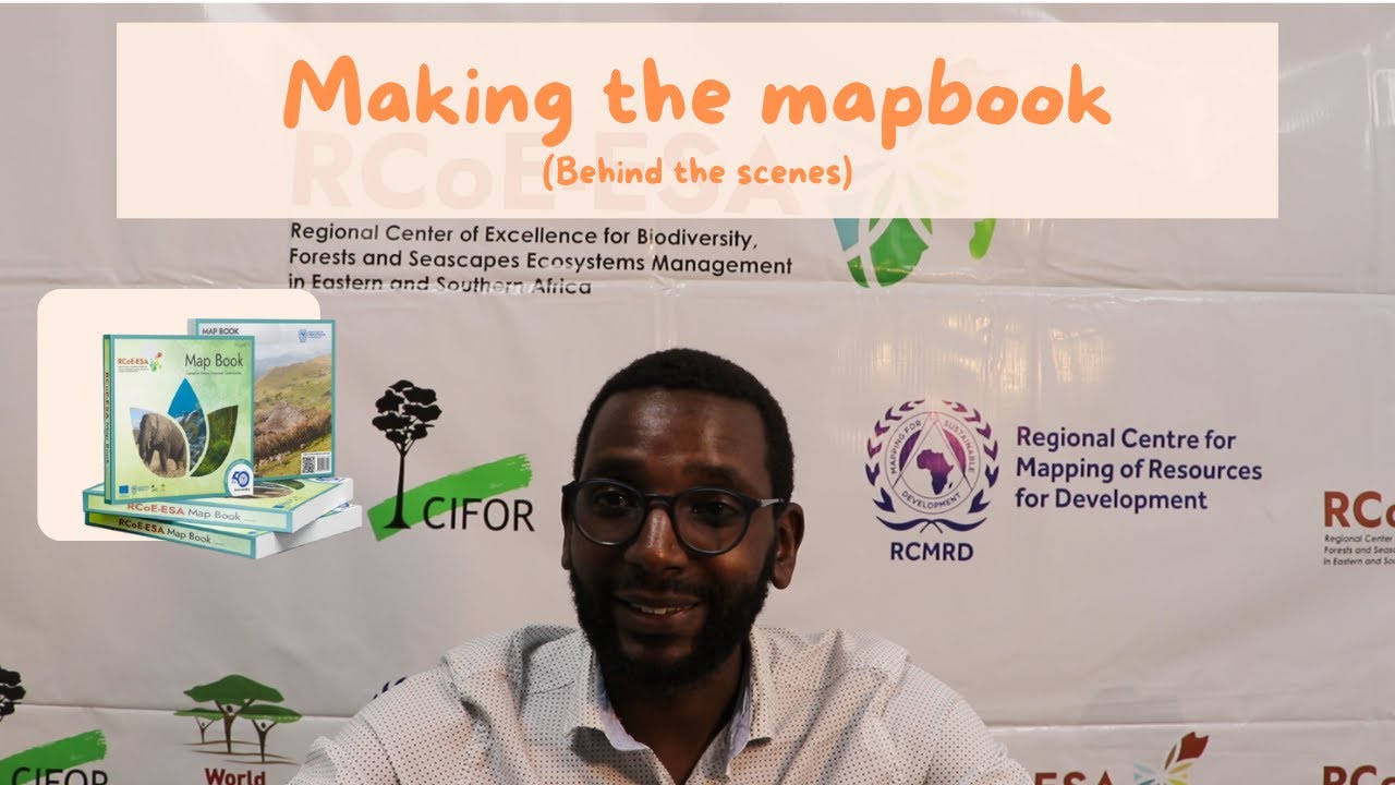
In this video, we go into a deep dive of the technical aspects of how the RCoE Mapbook came to be.
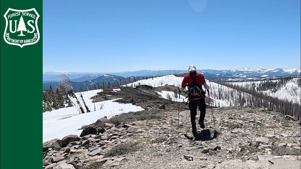
Join day-hikers (they don’t mind being called a Peak Bagger) as they hike 9 ½ miles, roundtrip, for 6 ½ hours to try and bag 8,376-foot Mount Ingalls on the Plumas National Forest in April 2025. Mo...
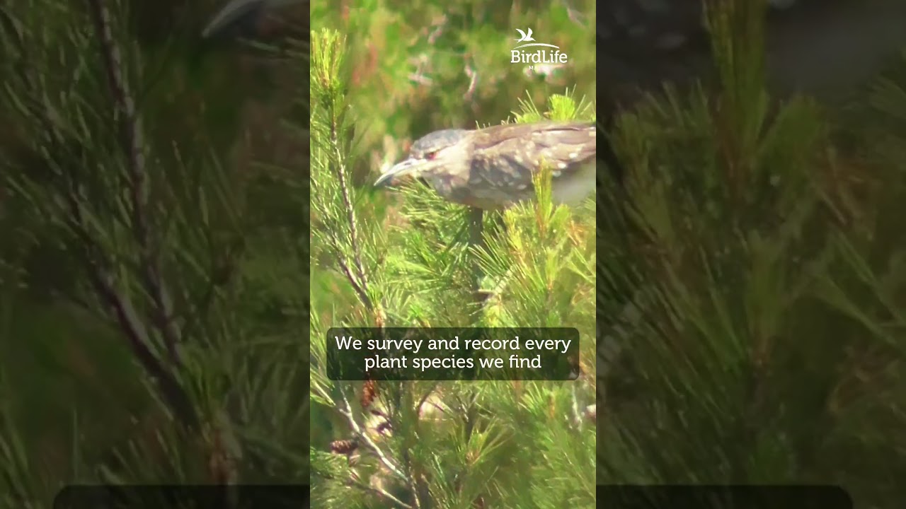
Did you know we use GIS mapping and drone photography to study Malta’s flora?
In Simar Nature Reserve, we:
🔹 Survey and record every plant species we find.
🔹 Use drones to capture aerial views of .
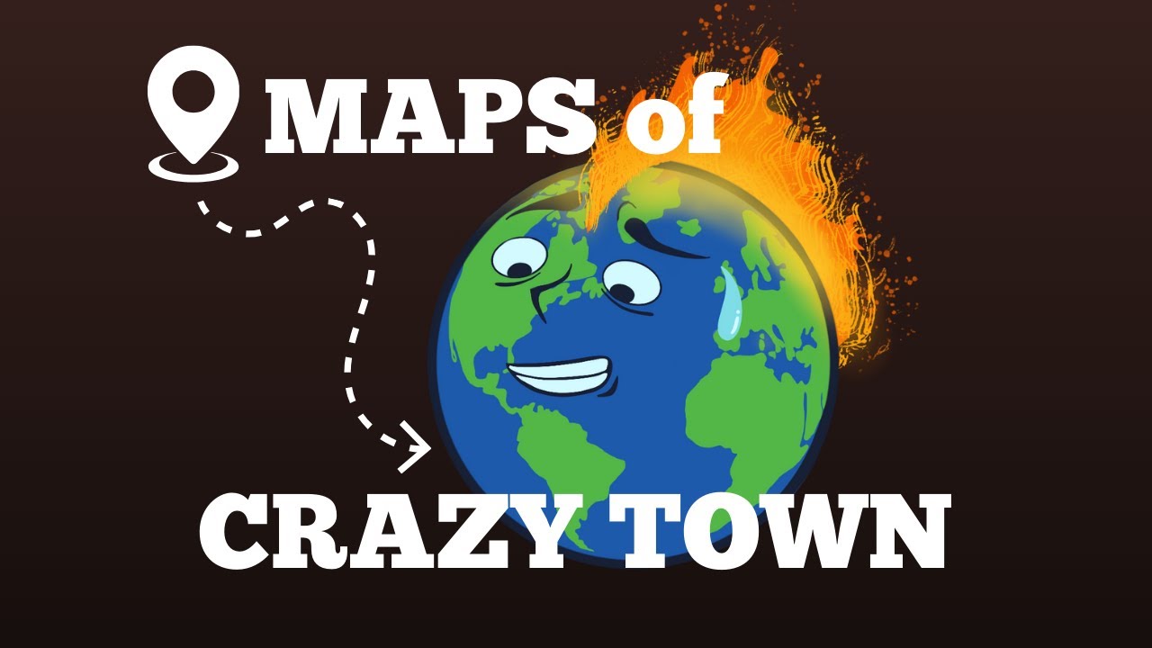
Join Crazy Town's Rob Dietz on a Google Earth tour of the phenomenon known as "Mar de Plastico" in southern Spain.
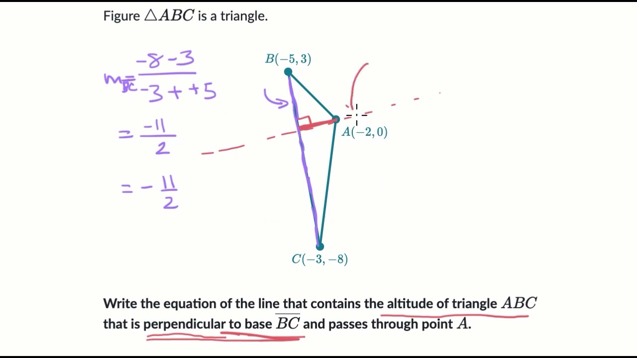
Courses on Khan Academy are always 100% free. Start practicing—and saving your progress—now!
https://www.khanacademy.org/math/geometry-tx/x790e3ac3e338c450:coordinate-geo/x790e3ac3e338c450:parallel...
Module 2: Session 5 - Data Presentation (Story Maps)
Introduction to story maps.
#ConserveNatureEmpowerCommunities #GISforConservation #30x30 #Target3 #KMGBF #Biodiversity #Forests #Seascapes #RCoEESAMapBook
^AS