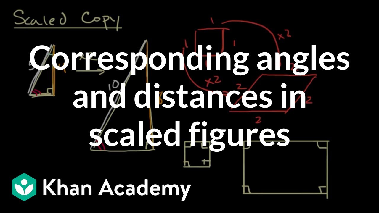
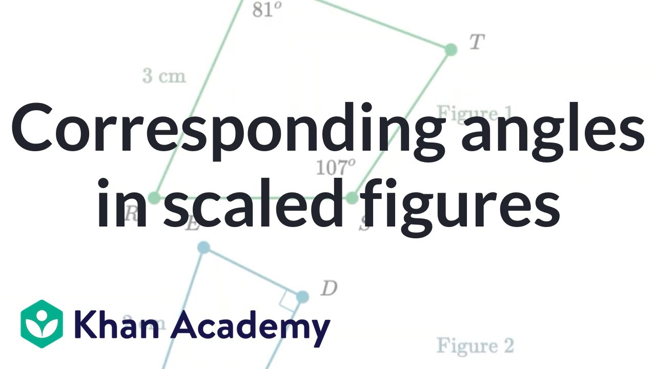
Students learn that two figures may have either corresponding side lengths with equivalent ratios OR corresponding angle measures equal, and still NOT be scaled copies. We must see that both charac...
Students learn to compare two scale drawings of the same object made with different scales. Identify how the lengths, widths, or areas change as the scale changes.
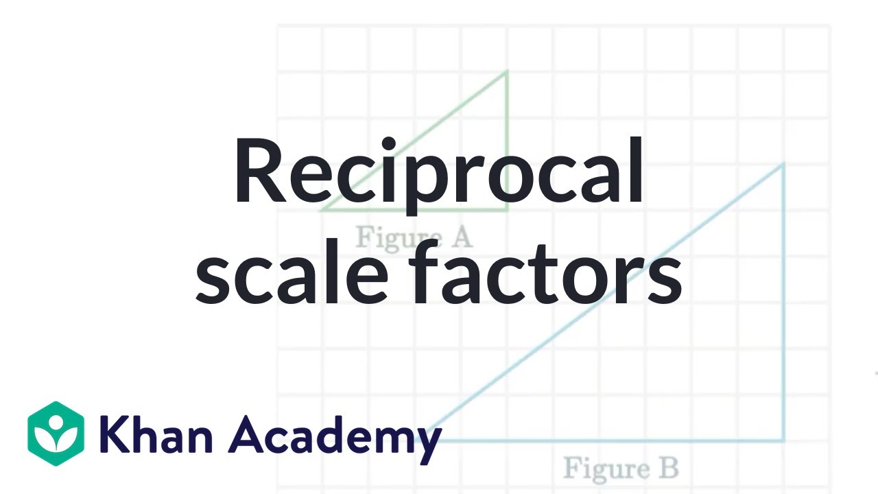
Explore how scale factors relate in scaled copies. Learn why the scale factor from the copy back to the original is the reciprocal of the scale factor from the original to the copy.
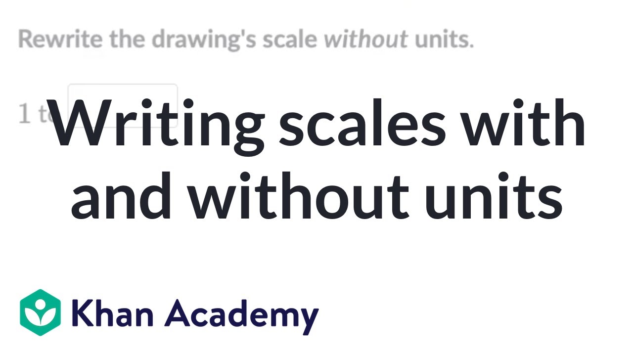
Learn how to write scales with and without units.
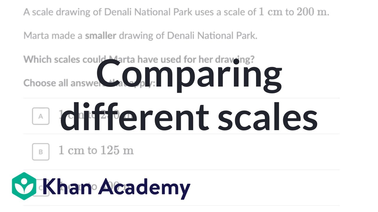
Students learn to compare two scale drawings of the same object made with different scales. Identify how the lengths, widths, or areas change as the scale changes.
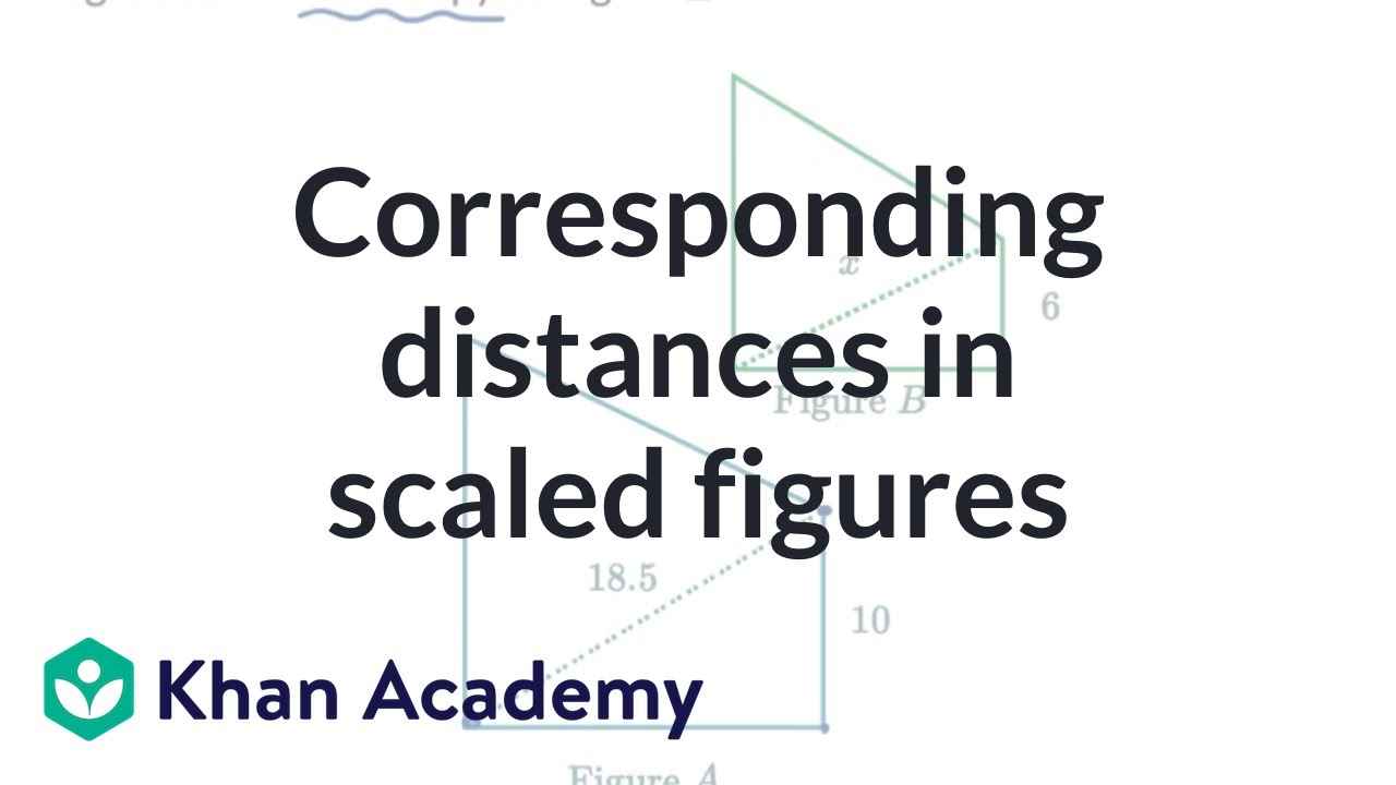
Learn how to find the measurements of distances on scaled figures that are not side lengths.
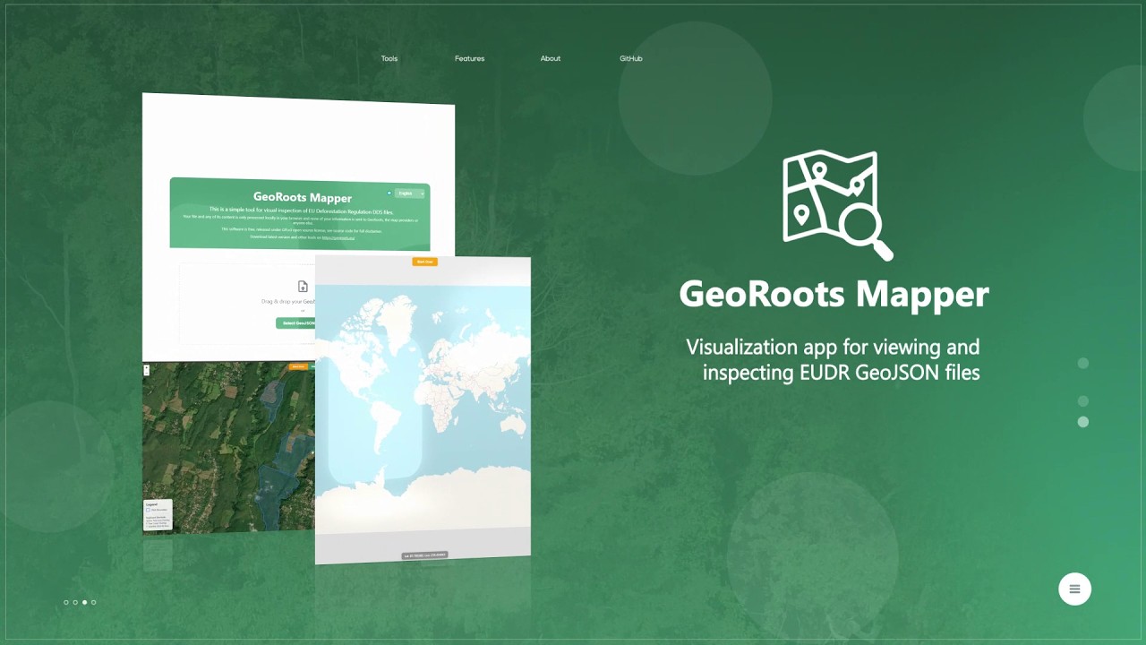
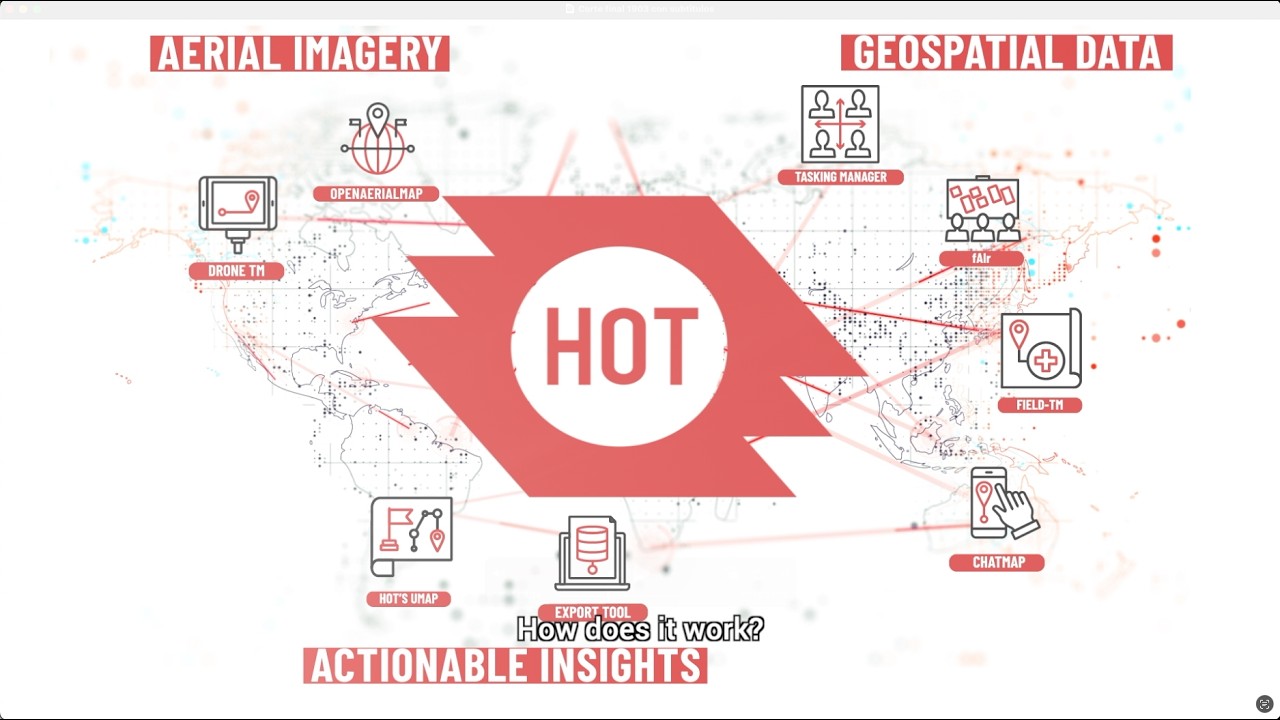
GeoRoots Mapper is a tool for the rapid visualization of GeoJSON files. This video shows how to use the GeoRoots Mapper to quickly load and visualise GeoJSON files (polygons or GPS points) on a map...
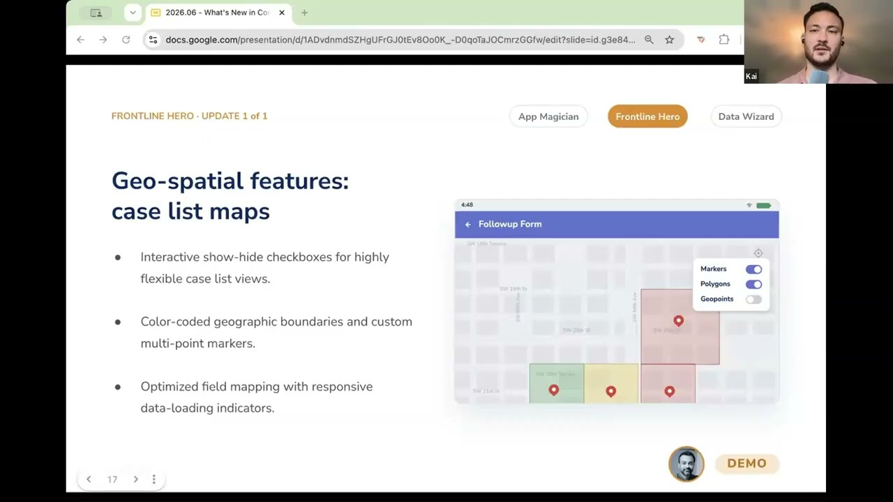
In this video, you get a demo of CommCare's geospatial feature upgrades that turn a frontline worker's case list into an interactive map. Instead of seeing a list of names, they can see their cases...
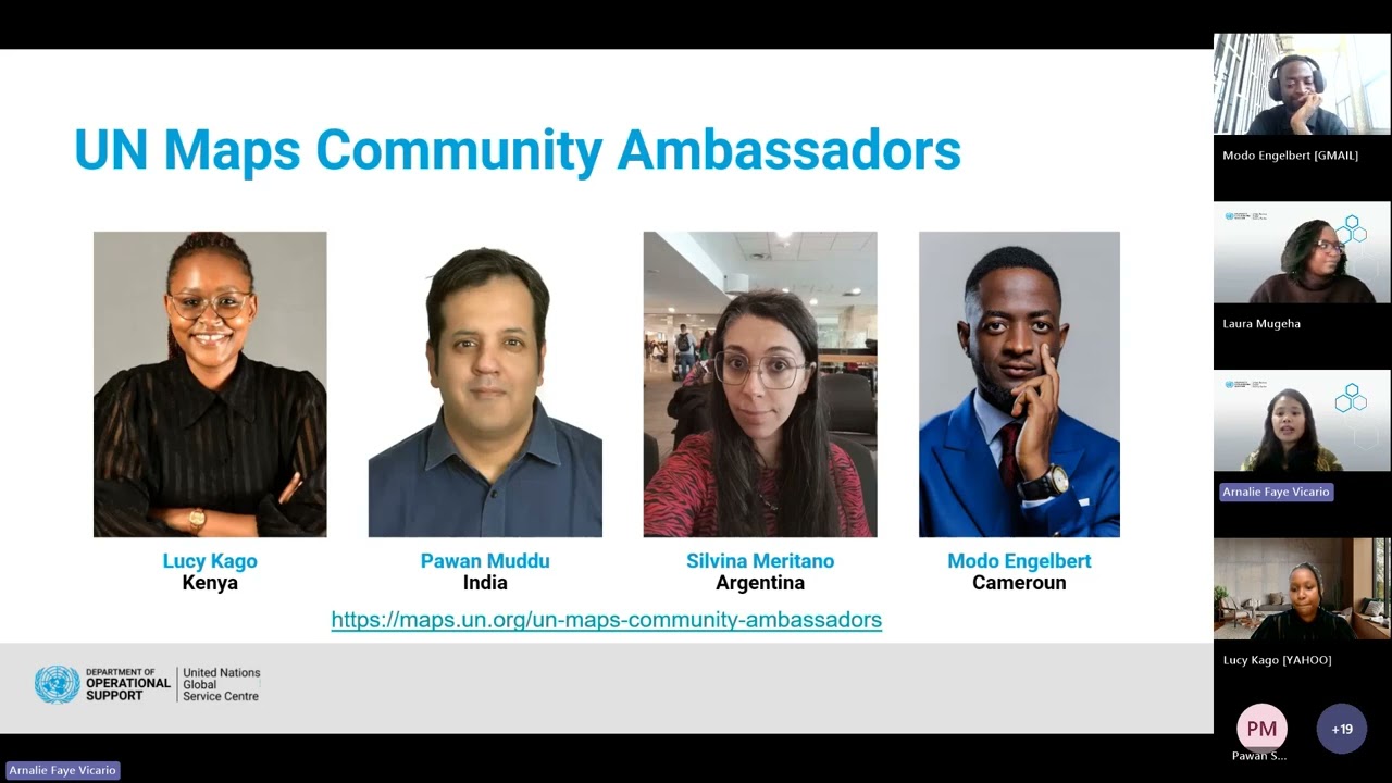
ICYMI, hear the highlights, wins, challenges and lesson learned of our UN Maps Community Ambassadors in the pilot initiative 💫
More details: https://maps.un.org/un-maps-community-ambassadors
Agen..
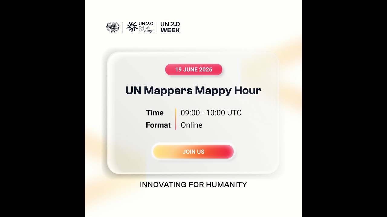
As part of the UN 2.0 Week 2026 (15-19), colleagues from across the United Nations system, as well as our volunteers and contributors joined the a virtual exchange and an hour of mapping together t...
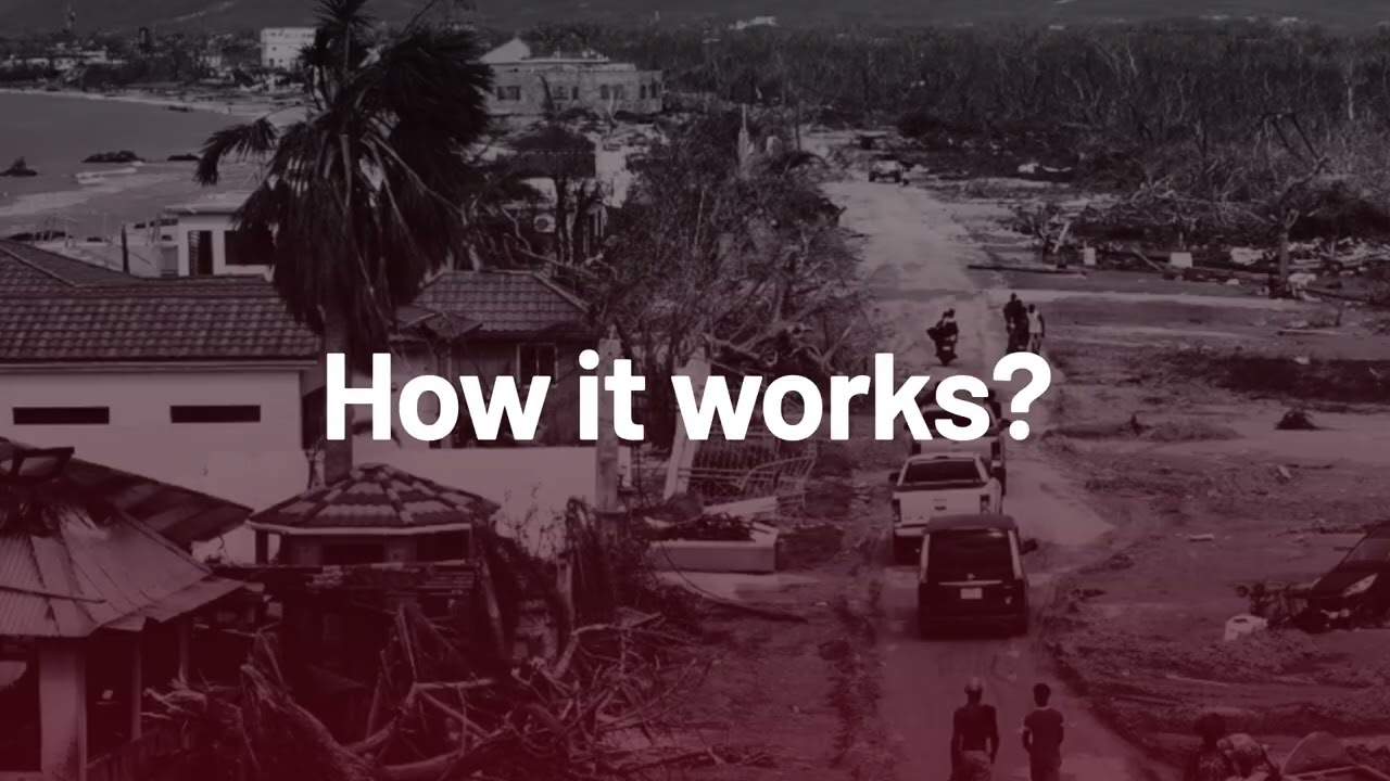
How can local communities affected by disasters report damage quickly and effectively?
ChatMap transforms messages into maps, enabling crisis-affected communities to report damage in real time usi...
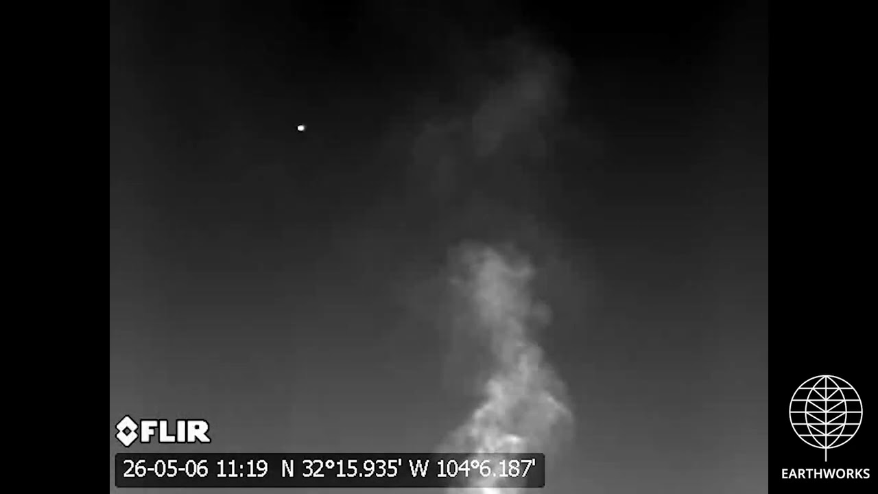
Targa - Roadrunner Plant
Loving, Eddy County, NM
(32.265659, -104.108309)
Filmed 5/06/2026
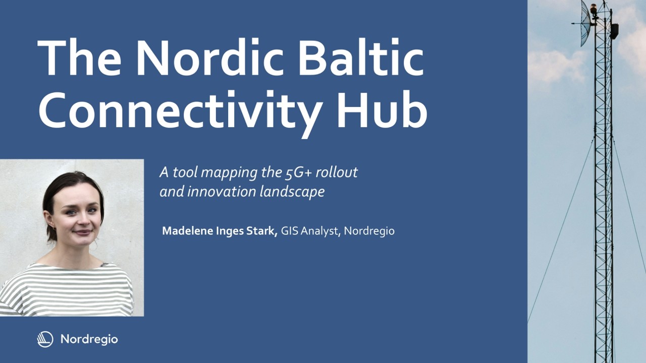
Join Madelene Inges Stark, GIS Analyst and tool developer at Nordregio as she explores the Nordic-Baltic Connectivity Hub: A tool for mapping and connecting the region
How to Make User-centric Maps? | Insights from Global Mapping Experts | Episode 2
Explore what goes into making user-centric maps and information systems, from persona creation to governance and more.
Maps - like public transport - are a part of every journey and city, making m...
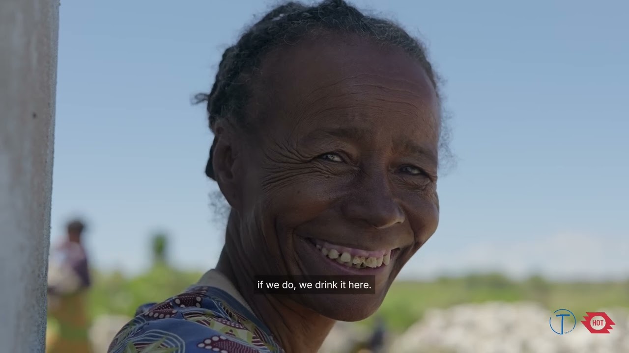
In 2023, the Humanitarian OpenStreetMap Team (HOT) awarded Tatirano a grant through its Open Mapping Grants program, an initiative backing local organizations in Eastern and Southern Africa to crea...
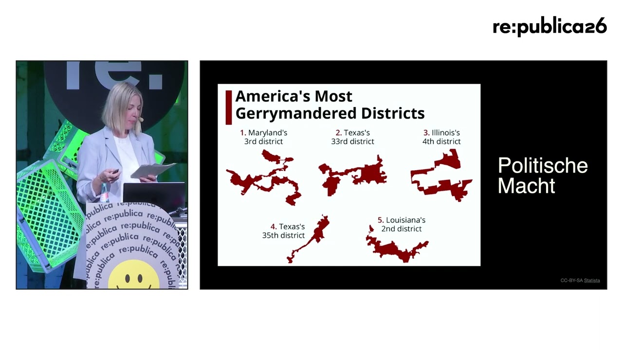
Mapping ist Macht: Wie Karten als Werkzeuge der Kontrolle dienen
„Mapping the Future“, „Mapping the Digital Divide“, „Mapping the Impact of AI“ – heutzutage wird fast alles „gemappt“. Wir kartiere...
Why Are Maps Important? | Insights from Global Mapping Experts | Episode 1
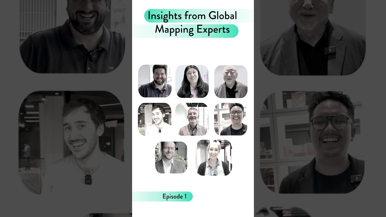
Explore what makes aesthetic, integrated, and inclusive maps so important from global public transport professionals working in mapping.
Maps - like public transport - are a part of every journey ...
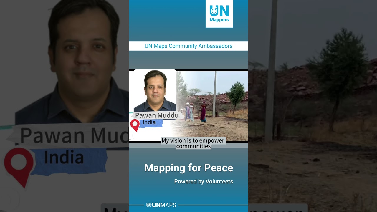
Hear from our Community Ambassadors—Silvina Meritano, Pawan Muddu, Lucy Kago, and Engelbert Modo—as they share how they plan to strengthen the #UNMappers community, build local capacities, and addr...