 Humanitarian OpenStreetMap Team
181d ago
Humanitarian OpenStreetMap Team
181d ago
▶
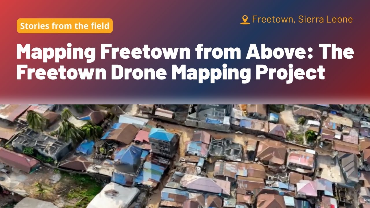
Mapping Freetown from Above: The Freetown Drone Mapping Project
Freetown City’s residents are taking climate action into their own hands. With rapid growth within informal settlements and climate challenges, planning, especially without up-to-date high-quality imagery, has become increasingly difficult. Freetown City Council, HOT, and local partners launched a community-led drone mapping project to capture the city in high-resolution detail. With new skills, low-cost drones, and HOT’s Drone TM, residents can now produce their own aerial imagery and use it to inform smarter urban planning, disaster response, climate resilience, slum upgrading, and more accessible services for people with disabilities