
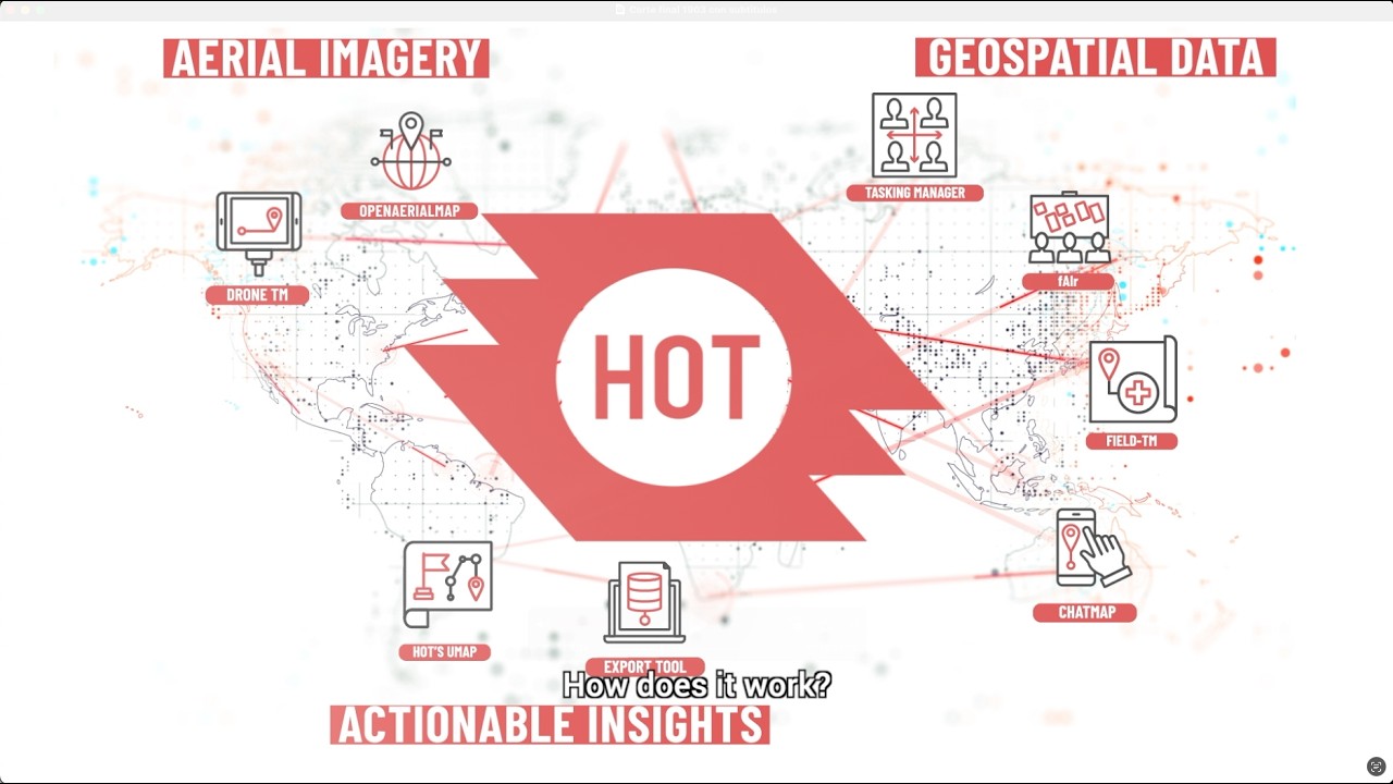
Humanitarian OpenStreetMap Team
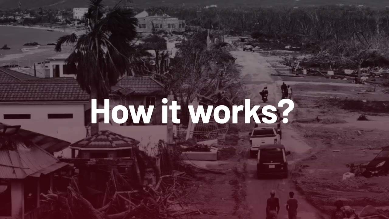
How can local communities affected by disasters report damage quickly and effectively?
ChatMap transforms messages into maps, enabling crisis-affected communities to report damage in real time usi...
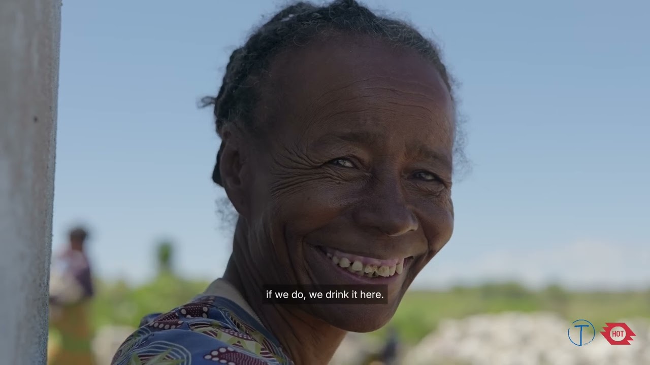
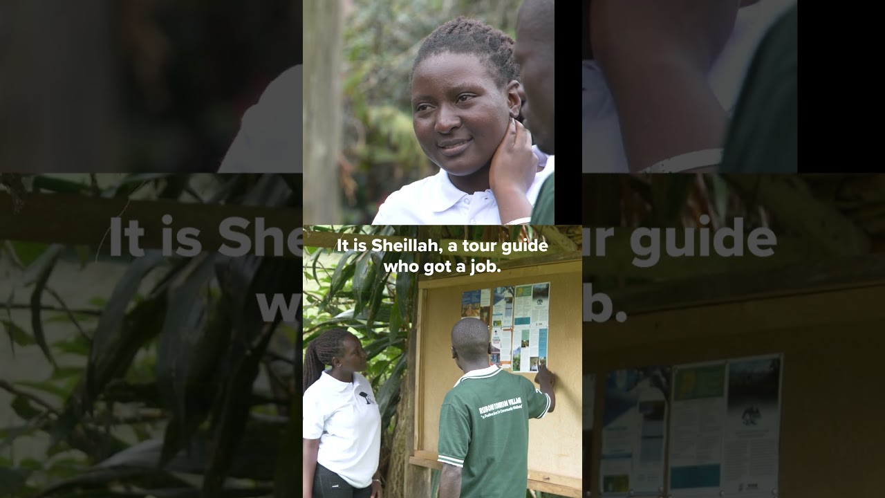
In 2023, the Humanitarian OpenStreetMap Team (HOT) awarded Tatirano a grant through its Open Mapping Grants program, an initiative backing local organizations in Eastern and Southern Africa to crea...
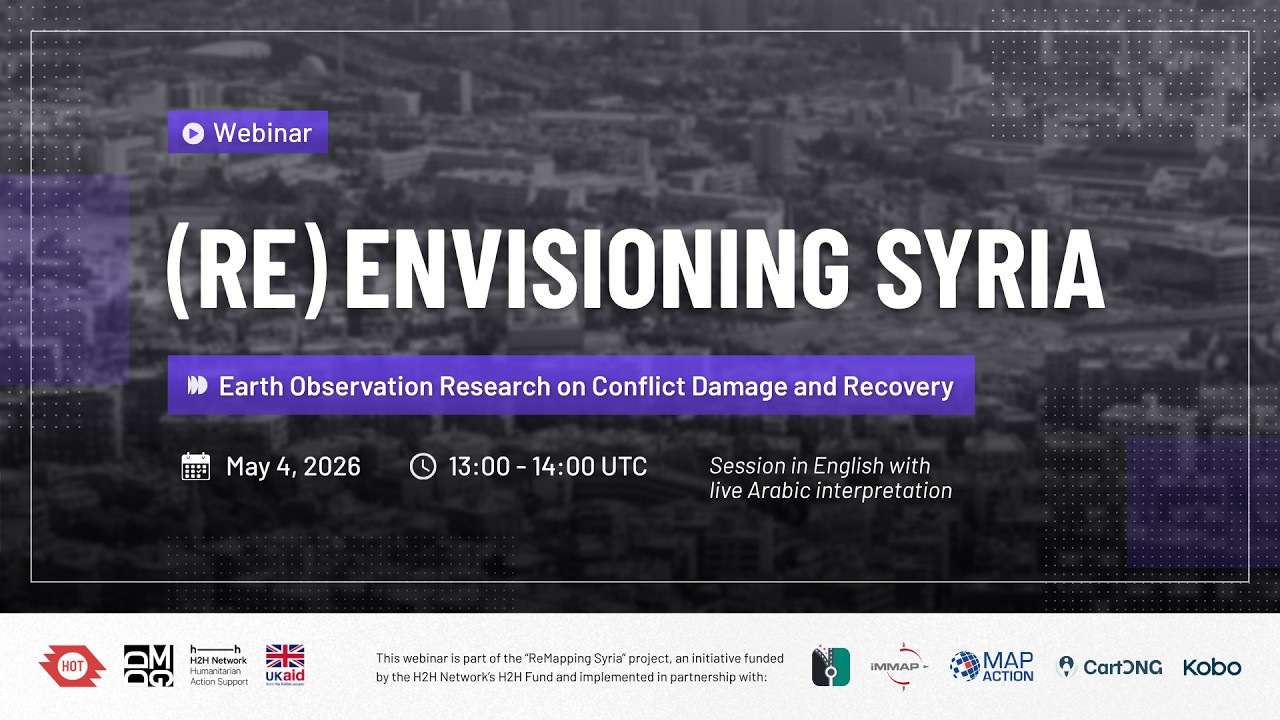
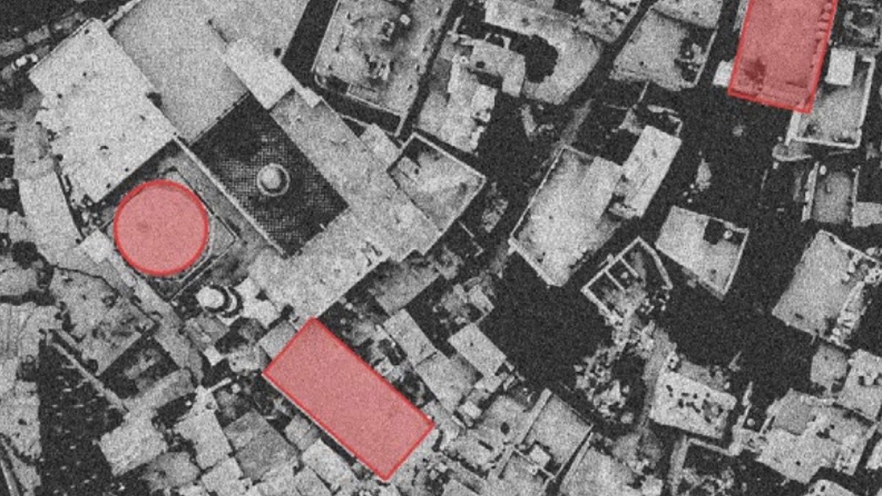
Syria's prolonged conflict has reshaped cities, landscapes, and livelihoods at a scale that demands careful documentation and analysis. As Syria enters a fragile transition, earth observation is po...
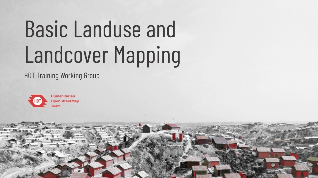
Learn the fundamentals of mapping land use and land cover within OpenStreetMap (OSM) for humanitarian purposes. In this recorded webinar hosted by the HOT Training Working Group, we explore how to ...
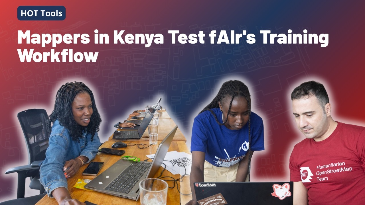
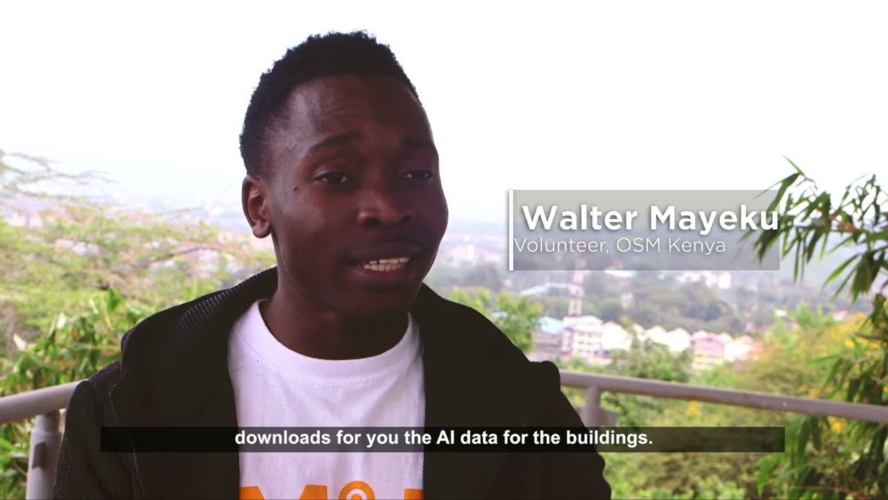
In December 2025, twelve OSM Kenya mappers spent two days building and testing their own feature detection GeoAI models using fAIr, HOT’s open-source tool for training machine learning models on sa...
Across West & Northern Africa, gaps in open data especially in health, education, and child protection, make it harder for governments, NGOs, social enterprises, and humanitarian groups to plan an
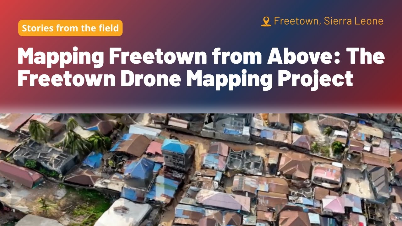
Freetown City’s residents are taking climate action into their own hands. With rapid growth within informal settlements and climate challenges, planning, especially without up-to-date high-quality ...
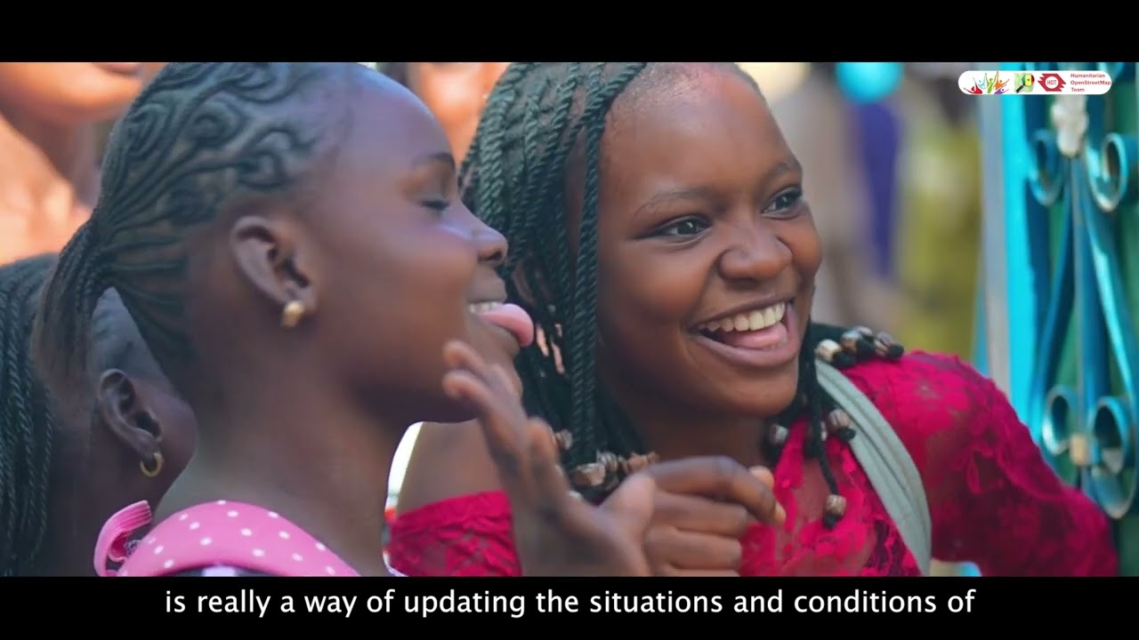
Across West & Northern Africa, gaps in open data especially in health, education, and child protection, make it harder for governments, NGOs, social enterprises, and humanitarian groups to plan an
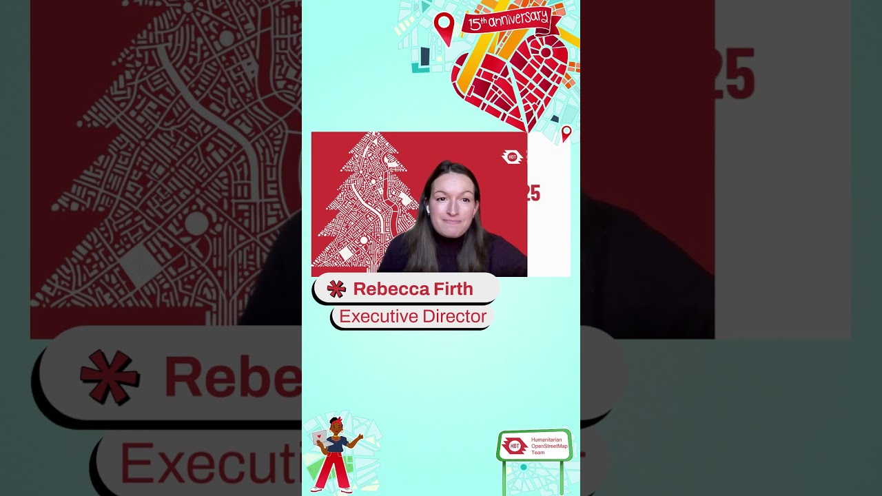
2025 marked HOT’s 15th anniversary, and we’re celebrating the global community that made it possible. Thank you for being part of this journey.
Wishing you a peaceful holiday season and a very ma...
Join the Humanitarian OpenStreetMap Team for a focused discussion on how remote sensing and crowdsourced mapping can strengthen humanitarian response and damage mapping.
Drawing on insights from ...

Join the Humanitarian OpenStreetMap Team for a focused discussion on how remote sensing and crowdsourced mapping can strengthen humanitarian response and damage mapping.
Drawing on insights from ...
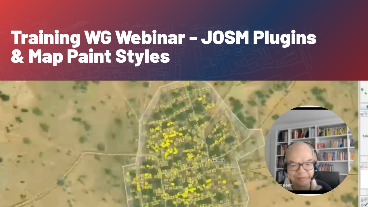
Recorded live on November 22, this Training Working Group webinar focused on maximizing efficiency in JOSM. Covering the installation and application of key plugins (Utilsplugin2, Reverter, Todo li...
![ChatMap: de un mensaje a un mapa, de la comunidad al territorio [WEBINAR]](https://img.youtube.com/vi/cL9gEvFzK28/maxresdefault.jpg)
Grabación de este webinario donde se dio un espacio de intercambio comunitario para descubrir cómo ChatMap convierte conversaciones en mapas. Escucha historias reales, inspírate, aprende a usarlo y...
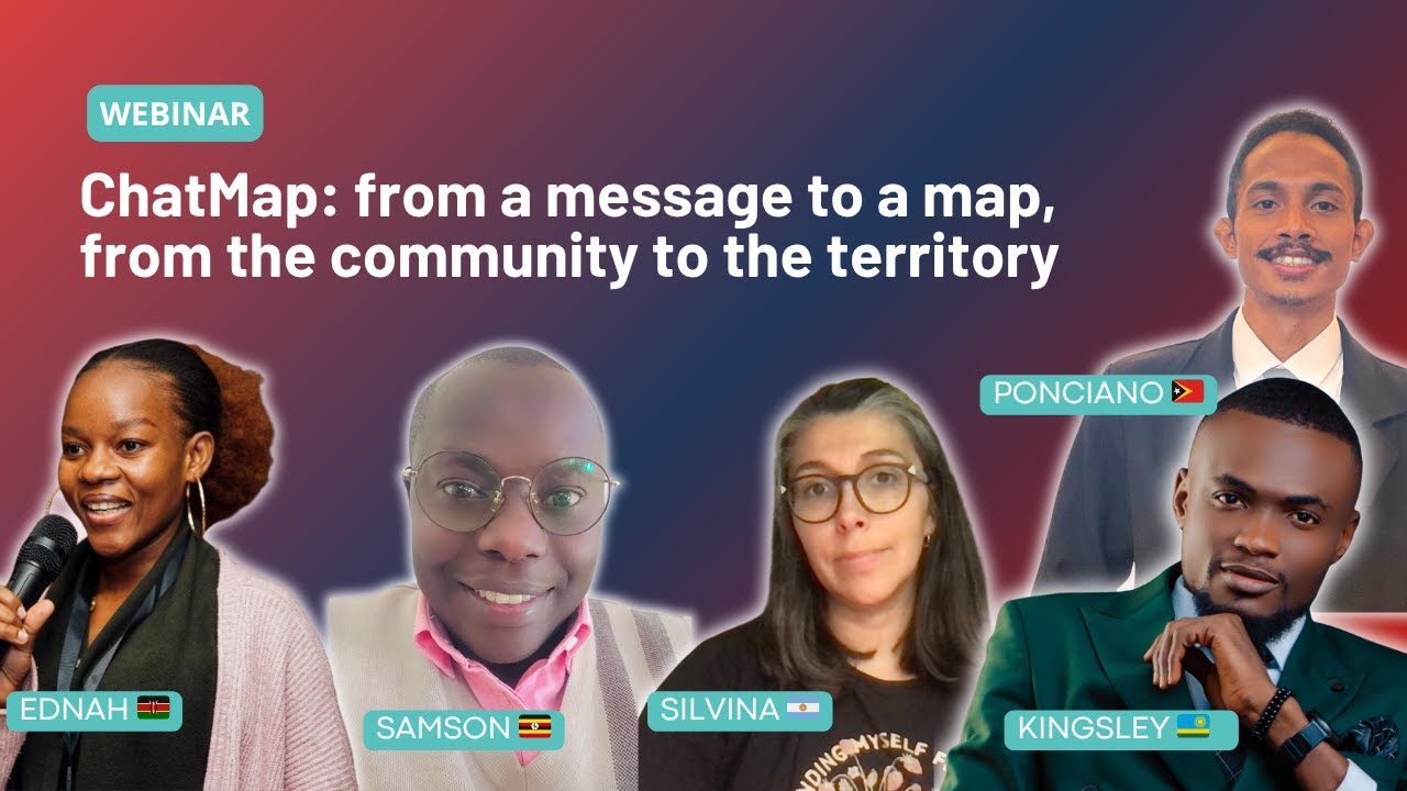
A look back at our 90-minute demo and community exchange, where we heard real stories from people already using ChatMap and connected with others interested in open mapping to share ideas and propo...
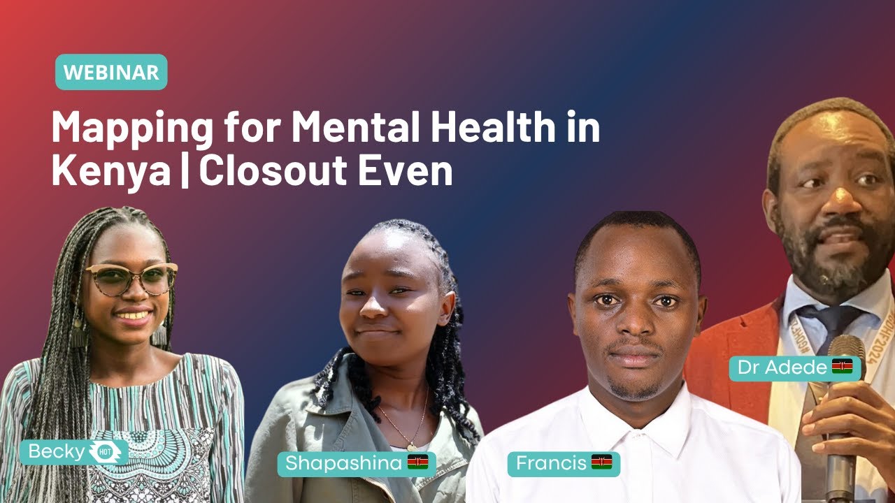
Event Summary: Mental Health Mapping in Kenya
The Humanitarian OpenStreetMap Team (HOT OSM) recently hosted a successful volunteer recognition webinar in celebration of International Youth Day. The...