 Humanitarian OpenStreetMap Team
209d ago
Humanitarian OpenStreetMap Team
209d ago
▶
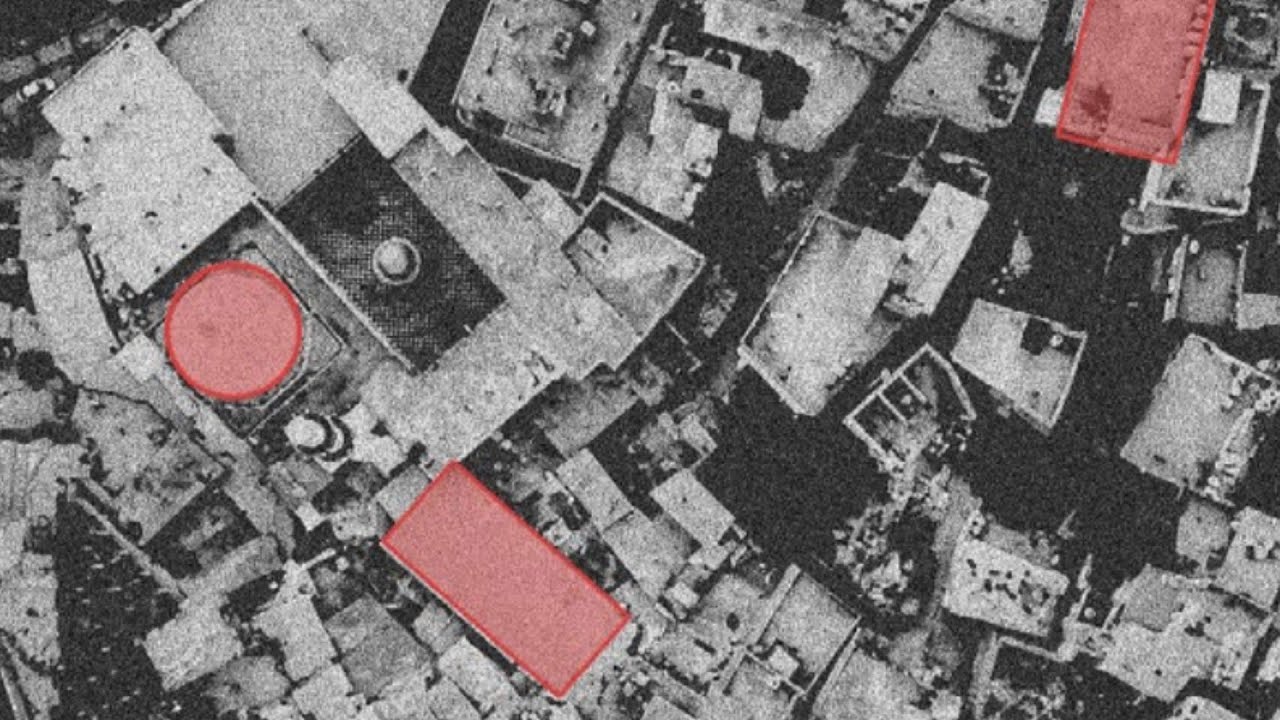
Navigating Remote Damage Assessments & Lessons Learned
Join the Humanitarian OpenStreetMap Team for a focused discussion on how remote sensing and crowdsourced mapping can strengthen humanitarian response and damage mapping.
Drawing on insights from the September 2025 report “Lebanon: A Guide to Remote Sensing Analyses of Conflict Damage,” the session will highlight why satellite-derived damage assessments often vary, how the absence of a coordinated methodology can lead to duplication or competing results, and what this means for producing reliable, actionable buildings damage data in crisis settings.
We’ll also touch on practical lessons from emerging crowdsourced damage-mapping efforts and why there is a need for open, collaborative approaches to damage mapping.