 ECLACUN
171d ago
ECLACUN
171d ago
▶
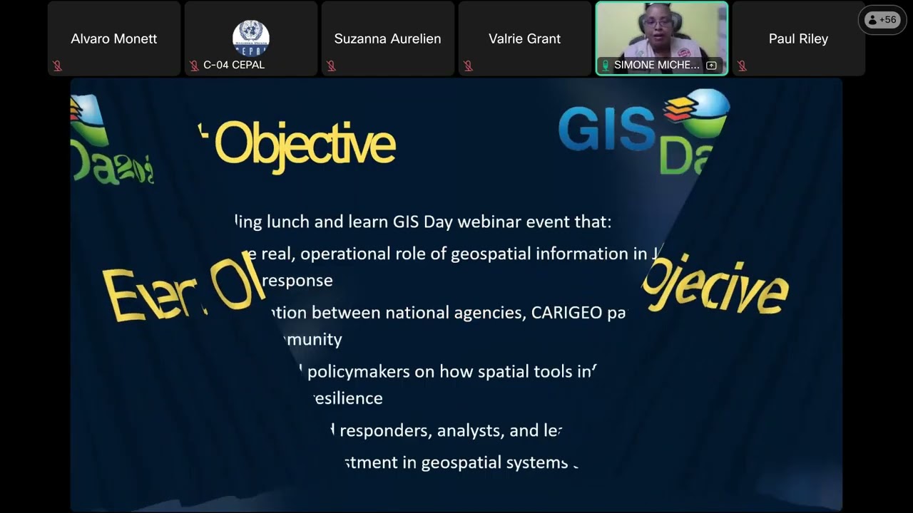
Geospatial intelligence as a key tool in Jamaica's response to Hurricane Melissa
The webinar “Geospatial Intelligence in Action: Jamaica’s Response to Hurricane Melissa,” organized within the framework of GIS Day 2025 under the umbrella of CARIGEO and in coordination with Jamaica’s national NERGIST team, highlighted the strategic role of geospatial information in natural disaster response. The event was held virtually on November 19, 2025, and received technical support from the Economic Commission for Latin America and the Caribbean (ECLAC).
During the webinar, it was presented how, following the impact of Hurricane Melissa in October 2025, geospatial tools enabled real-time situational awareness, damage assessment, identification of inaccessible areas, and support for inter-institutional coordination. The presentations addressed the use of satellite imagery, open data, national dashboards, and drone mapping operations, highlighting the value of collaboration among public agencies, the private sector, academia, and international partners.
The seminar also demonstrated how geospatial information remains crucial in the recovery phase, supporting damage and loss assessments using methodologies such as DALA and contributing to the planning of resilient reconstruction. The panel discussion provided an opportunity to reflect on lessons learned, the need to invest in geospatial capabilities, and the importance of strengthening the Caribbean's regional preparedness for future extreme events.
For more information, please visit the webinar page (available in Spanish and English): https://www.cepal.org/en/events/geospatial-intelligence-action-jamaicas-response-hurricane-melissa