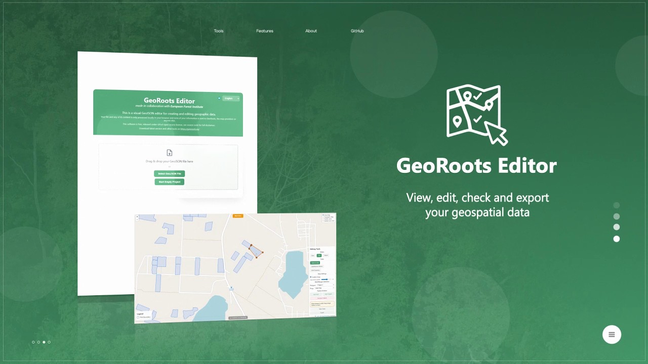
GeoRoots Editor is an interface that allows for visual inspection on satellite maps, automated quality control, and manual editing of plots: correcting boundaries, points, etc.
In the first part o...
This info session aims to support Glocal 2026 event organizers in planning, promoting, and documenting their events.
00:00 Hello and welcome
00:35 What is the Global Evaluation Initiative (GEI)?
0...
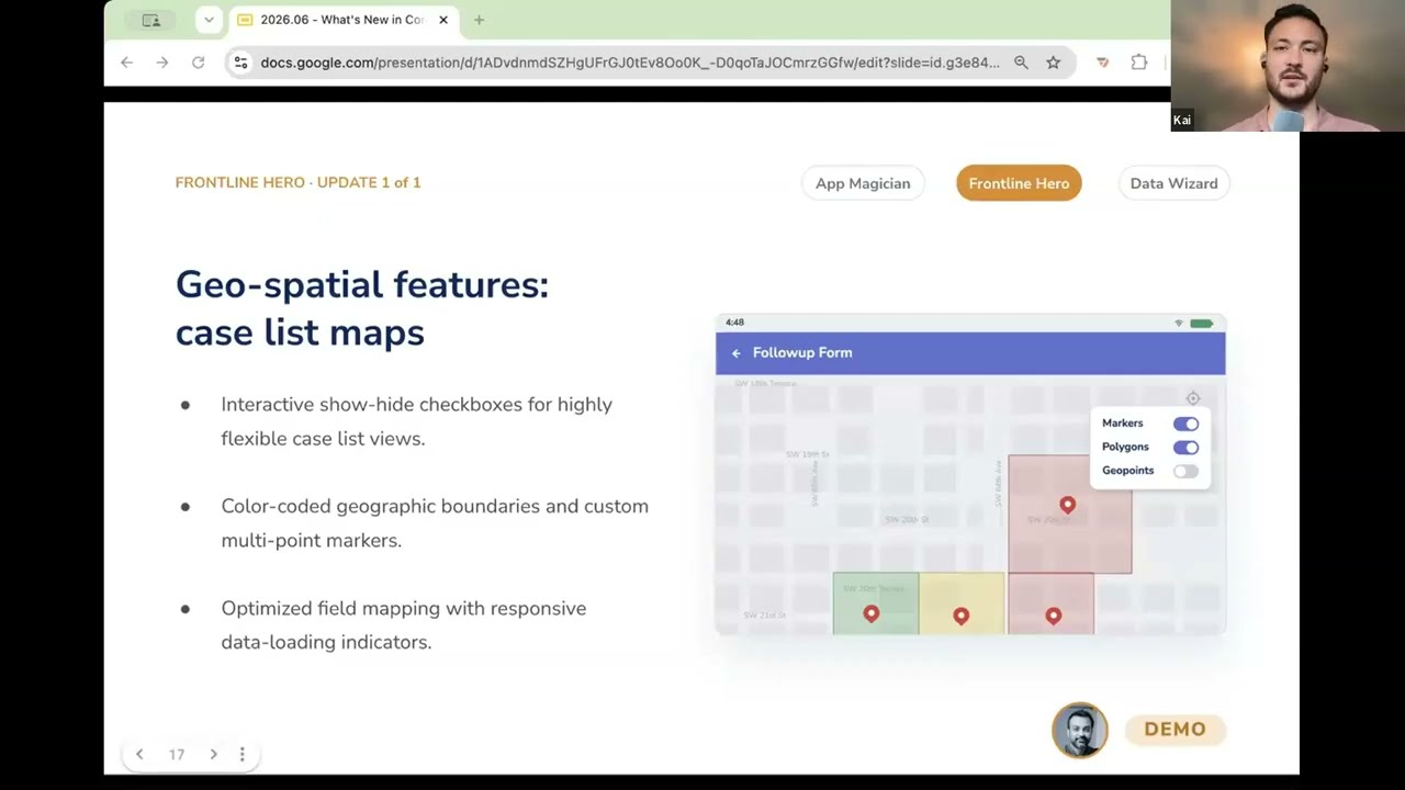
In this video, you get a demo of CommCare's geospatial feature upgrades that turn a frontline worker's case list into an interactive map. Instead of seeing a list of names, they can see their cases...

This is a recording from the DHIS2 Annual Conference 2026. In this session, we will explore the latest functionality and extensions to maps in DHIS2.
World Pop, Crosscut, ESRI / ArxcGIS, and the ...
Follow TechChange on Twitter at @TechChange and see our latest course listings here: https://www.techchange.org/online-courses/
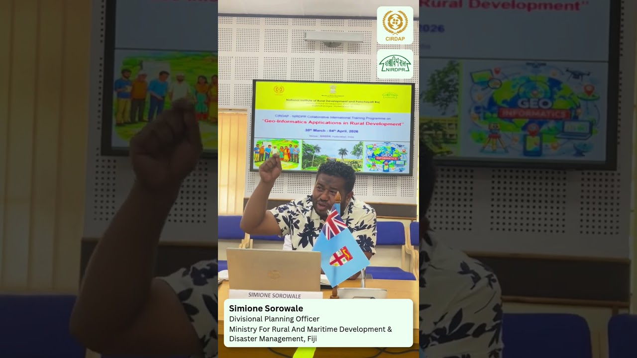
Mr. SIMIONE SOROWALE, Divisional Planning Officer, Office of the Divisional Commissioner Eastern, Ministry for Rural and Maritime Development & Disaster Management
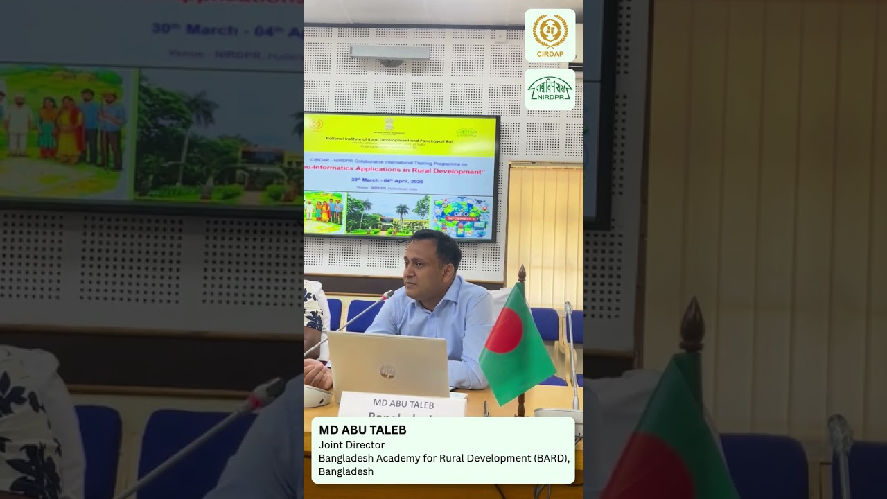
Mr. MD ABU TALEB, Joint Director, Bangladesh Academy for Rural Development (BARD), Bangladesh delivered an engaging “Back-to-Home” presentation during the valedictory and closing session of the CIR...
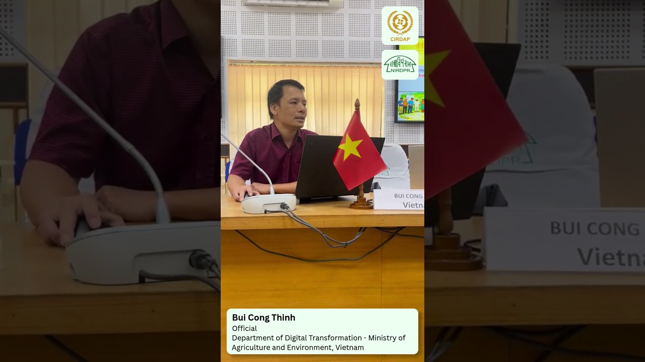
Mr. Bui Cong Thinh, Department of Digital Transformation of Ministry of Agriculture and Environment, Vietnam delivered an engaging “Back-to-Home” presentation during the valedictory and closing ses...
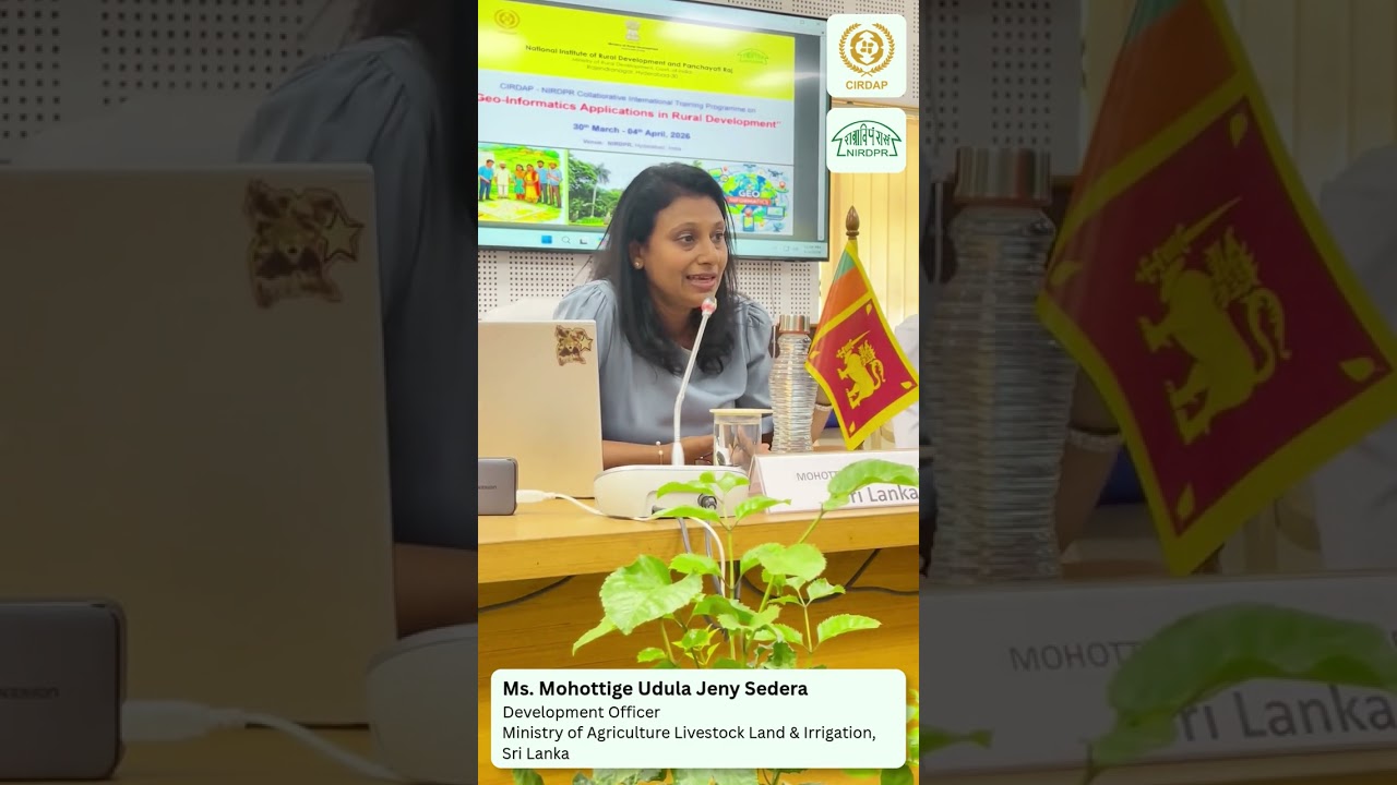
Ms. Mohottige Udula Jeny Sedera, Development Officer at the Ministry of Agriculture, Livestock, Land & Irrigation, Sri Lanka, delivered an engaging “Back-to-Home” presentation during the valedi...
Data Infrastructure for Development 2026 Recap

DID 2026 convened African and global leaders to highlight how GIS, remote sensing, mobile data, and emerging computational methods can transform decision-making across sectors—from agriculture and ...
Inside the Build: The NaturAfrica Information System
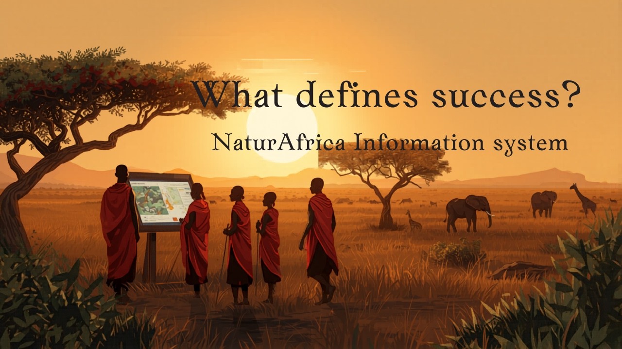
This week on #TechThursday, we spotlight key insights from the #NaturAfrica Information System Workshop held in Nairobi in March 2026. The conversations unpacked both the opportunities and the comp...
...odels on selected regions and assess their ability to generalize across diverse geographical areas. Such datasets enable a wide range of SDG‑relevant applications.
For ITU, global g...
GeoGPT is a multimodal Earth AI system developed by scientists around the world and guided by a Governance Committee to support Earth data analysis for sustainability applications. Built on large f...

The Internet Society Kyrgyzstan Chapter is working to bring connectivity to remote areas, focusing on glacier monitoring as a critical use case. By deploying low-cost sensors and lev...

In this training video of 26 April 2023 which is addressed to the UNESCO Global Geoparks evaluators, Mr Aniello Aloia, Coordinator Italian National Geopark Committee, raised the point that all Ital...

In this training video of 26 April 2023 which is addressed to the UNESCO Global Geoparks evaluator, Mr Nickolas Zouros, former Global Geoparks Network President and current Vice-President, explains...