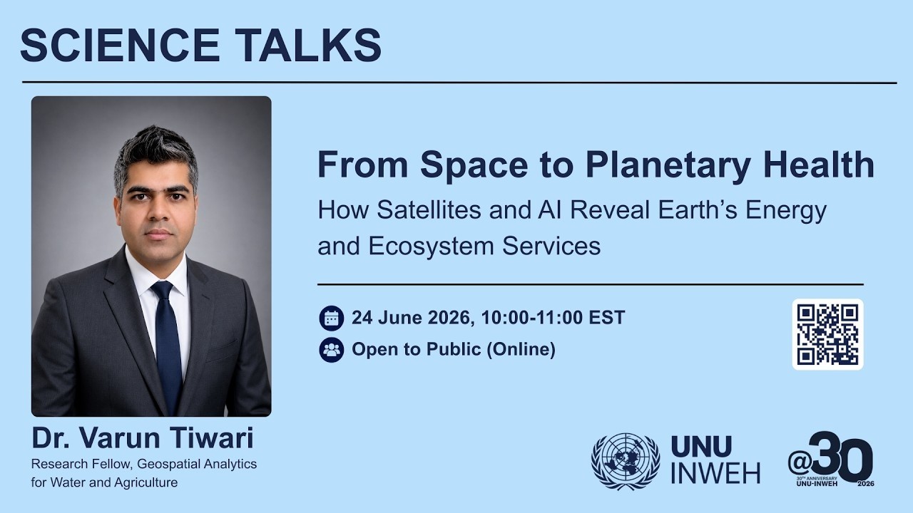
... and climate resilience. The Science Talk will also discuss the broader role of geospatial AI in supporting sustainable environmental management, agricultural decision-ma...
...pportunity to engage with delegates from around the world, while showcasing how geospatial technologies and Earth observation are supporting sustainable ocean management ...

... and climate resilience. The Science Talk will also discuss the broader role of geospatial AI in supporting sustainable environmental management, agricultural decision-ma...
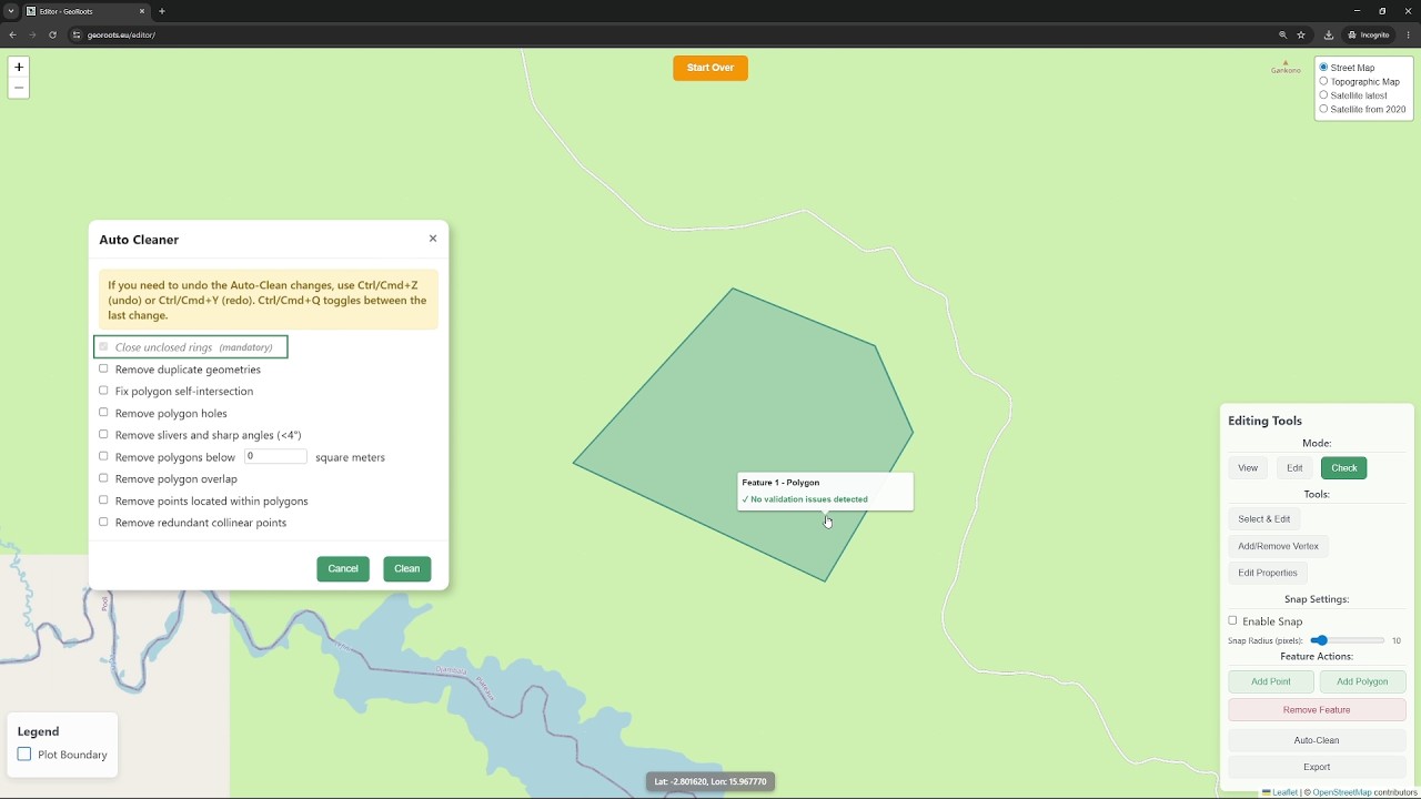
In the second video, we focus on the "Edit Mode" and the resolution of errors. We provide an step by step to manually fix the issues found during the quality control check, like adjusting polygon n...
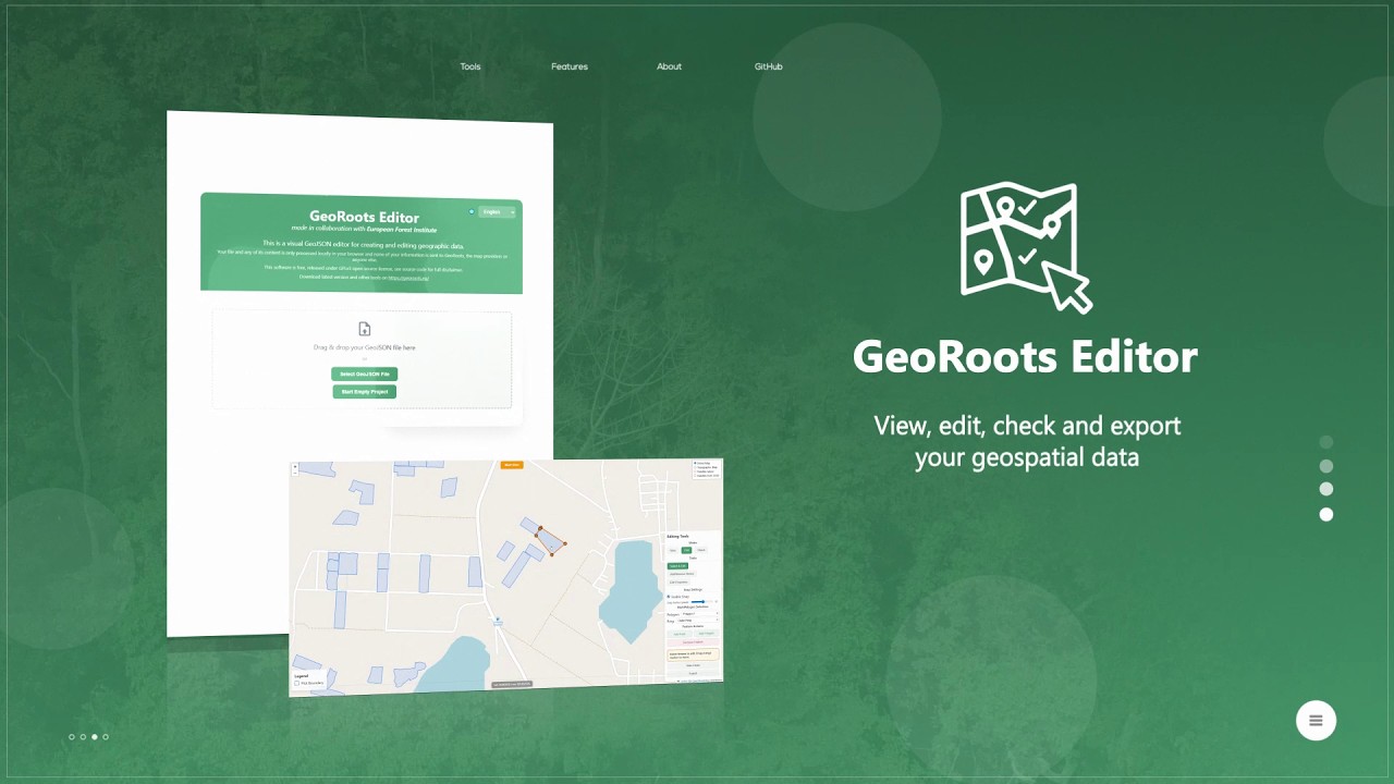
GeoRoots Editor is an interface that allows for visual inspection on satellite maps, automated quality control, and manual editing of plots: correcting boundaries, points, etc.
In the first part o...
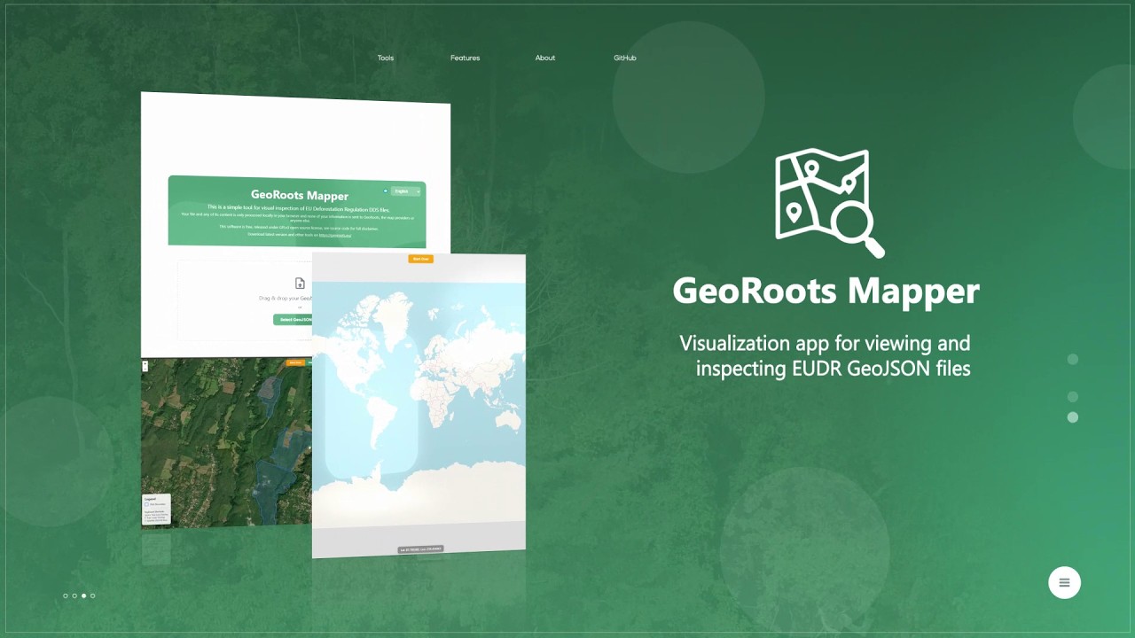
GeoRoots Mapper is a tool for the rapid visualization of GeoJSON files. This video shows how to use the GeoRoots Mapper to quickly load and visualise GeoJSON files (polygons or GPS points) on a map...
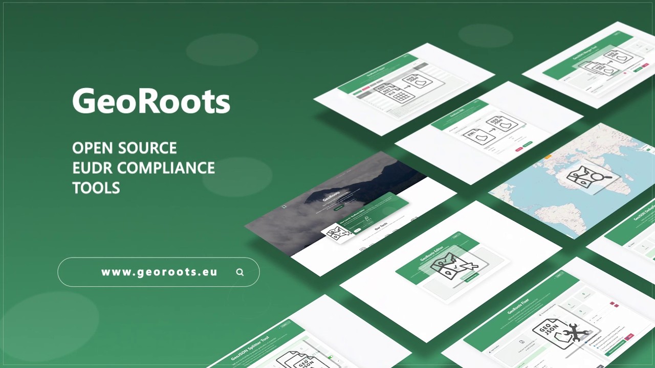
GeoRoots is a suite of free, open-source, and minimalist digital tools that run directly in the web browser. Its purpose is to facilitate the preparation, conversion, visual inspection, editing, an...

... and climate resilience. The Science Talk will also discuss the broader role of geospatial AI in supporting sustainable environmental management, agricultural decision-ma...
En el marco de la Semana de la Evaluación Glocal 2026, la Presidencia de la República del Ecuador presenta un espacio orientado a analizar la evolución de la evaluación territorial hacia enfoques i...
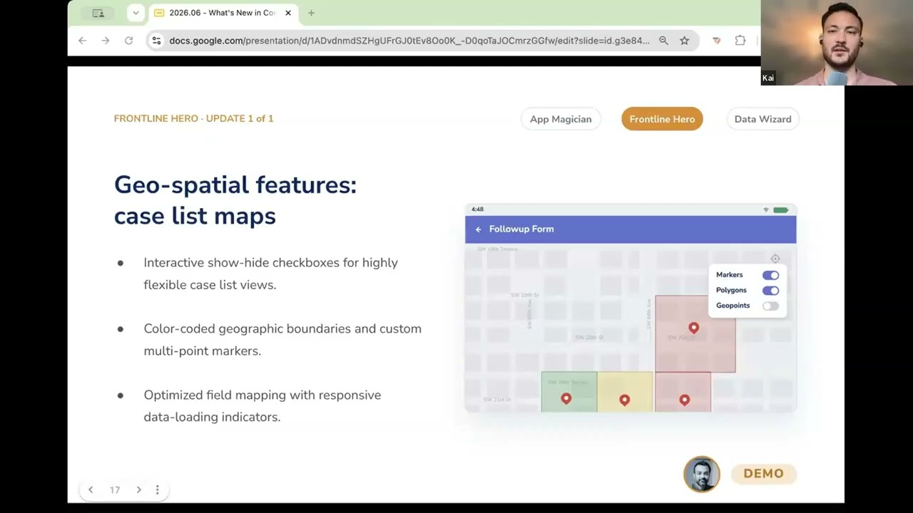
In this video, you get a demo of CommCare's geospatial feature upgrades that turn a frontline worker's case list into an interactive m...
...r messaging platforms. This integration of Community-generated information with geospatial technologies helps responders make faster and more informed decisions.
ChatMap...

This is a recording from the DHIS2 Annual Conference 2026. In this session, we will explore the latest functionality and extensions to maps in DHIS2.
World Pop, Crosscut, ESRI / ArxcGIS, and the ...
Module 5 Lecture 4 Hyperspectral Applications of Qimingxing 1 and Luojia 4A

This video is part of the free online course Earth Observation for Sustainable Development: Harnessing the Power of Chinese Satellites — jointly developed by Wuhan University, UNU-INWEH, UN-SPIDER ...
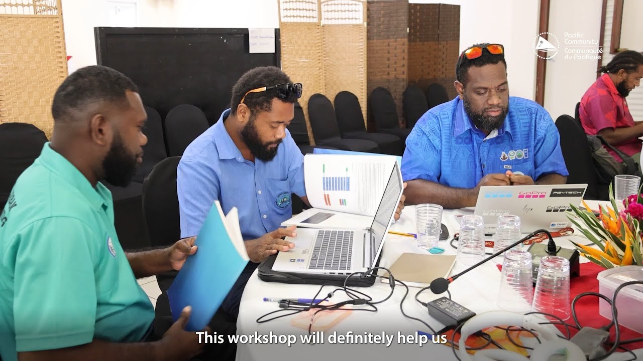
...acific Community (SPC) under the National Surveys for Infrastructure Resilience Geospatial Databases to Support Exposure Modelling Project is supporting Vanuatu through a...
Follow TechChange on Twitter at @TechChange and see our latest course listings here: https://www.techchange.org/online-courses/