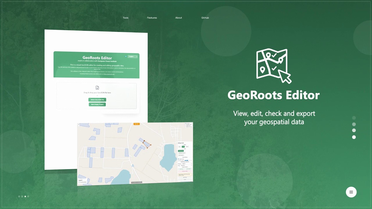
GeoRoots Editor is an interface that allows for visual inspection on satellite maps, automated quality control, and manual editing of plots: correcting boundaries, points, etc.
In the first part o...
En el marco de la Semana de la Evaluación Glocal 2026, la Presidencia de la República del Ecuador presenta un espacio orientado a analizar la evolución de la evaluación territorial hacia enfoques i...
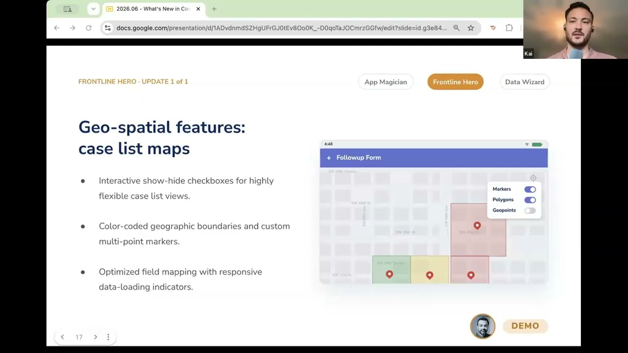
In this video, you get a demo of CommCare's geospatial feature upgrades that turn a frontline worker's case list into an interactive map. Instead of seeing a list of names, they can see their cases...
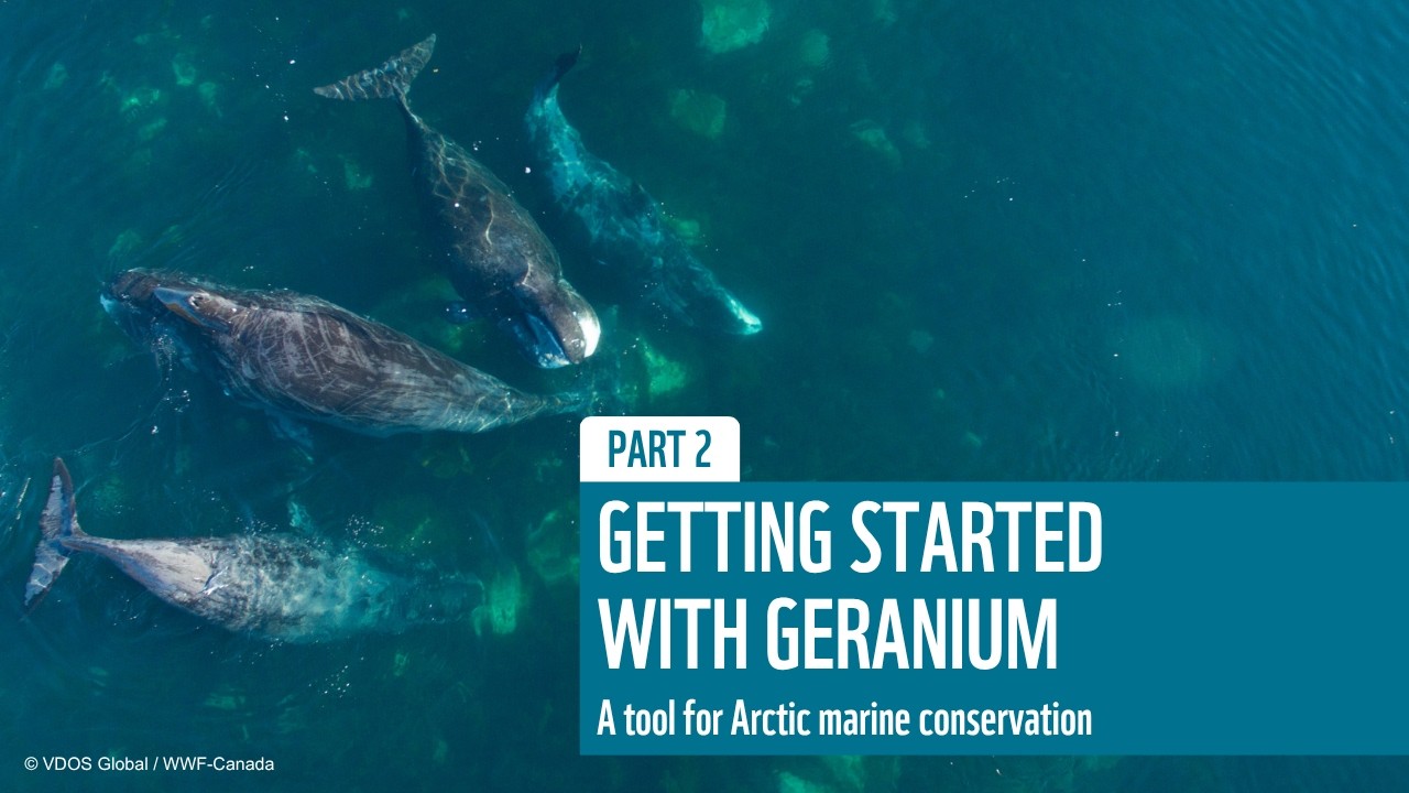
Climate change and industrial activity are putting increased pressure on the Arctic. Addressing these challenges requires informed and data-driven decisions, which is where GERANIUM comes in.
GE...

This is a recording from the DHIS2 Annual Conference 2026. In this session, we will explore the latest functionality and extensions to maps in DHIS2.
World Pop, Crosscut, ESRI / ArxcGIS, and the ...
применение GMP и инвентаризаций СОЗ для политики на основе данных в НПВ
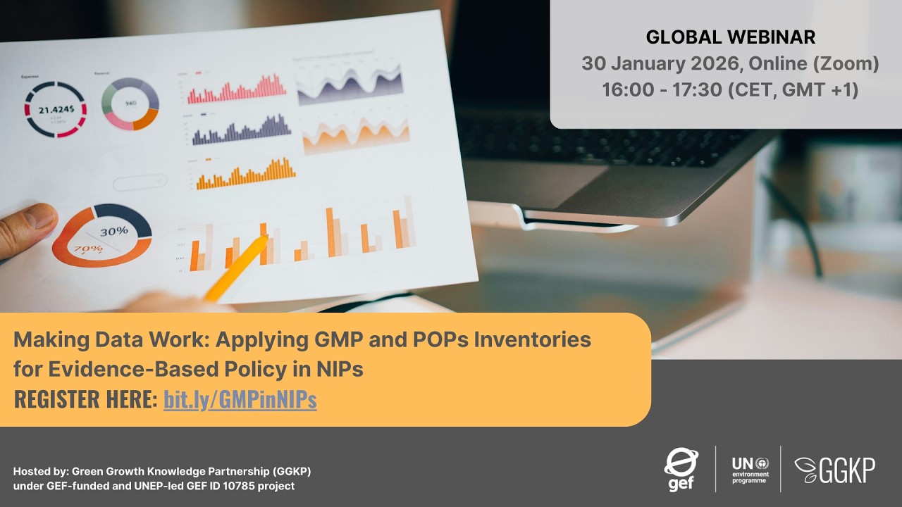
30 января 2026 года (16:00–17:30 CET) Green Growth Knowledge Partnership (GGKP) в рамках финансируемого ГЭФ и реализуемого под руководством ЮНЕП Глобального проекта по обновлению национальных плано...
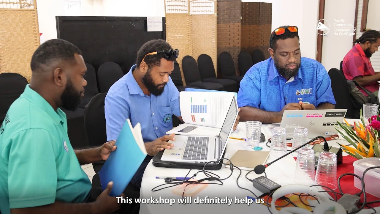
#ResilientPacific | To strengthen the country’s capacity to plan for and respond to growing climate and disaster risks, the Pacific Community (SPC) under the National Surveys for Infrastructure Res...
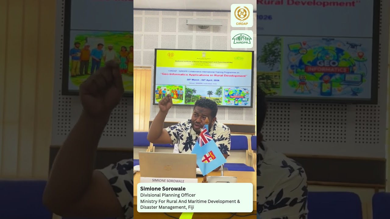
Mr. SIMIONE SOROWALE, Divisional Planning Officer, Office of the Divisional Commissioner Eastern, Ministry for Rural and Maritime Development & Disaster Management
Data Infrastructure for Development 2026 Recap

DID 2026 convened African and global leaders to highlight how GIS, remote sensing, mobile data, and emerging computational methods can transform decision-making across sectors—from agriculture and ...
GIES For Better Environment and Better Life in Asia and the pacific
...SNRR/CAS that identifies, assesses and monitors environmental sustainability of geographical areas where special agricultural products are located. The GIES methodology will establish tracea...
Golden Insights: Creating Value from Commercial Earth Observation Data
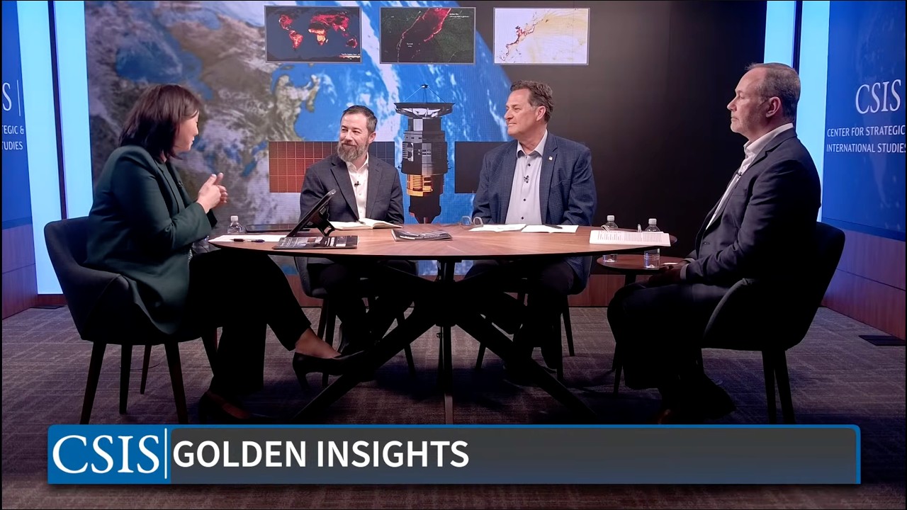
Please join the CSIS Aerospace Security Project on Wednesday, April 8, from 2:00–2:45 p.m. ET for a virtual discussion on the recently released Golden Insights: High-Quality Products Derived from C...
Inside the Build: The NaturAfrica Information System
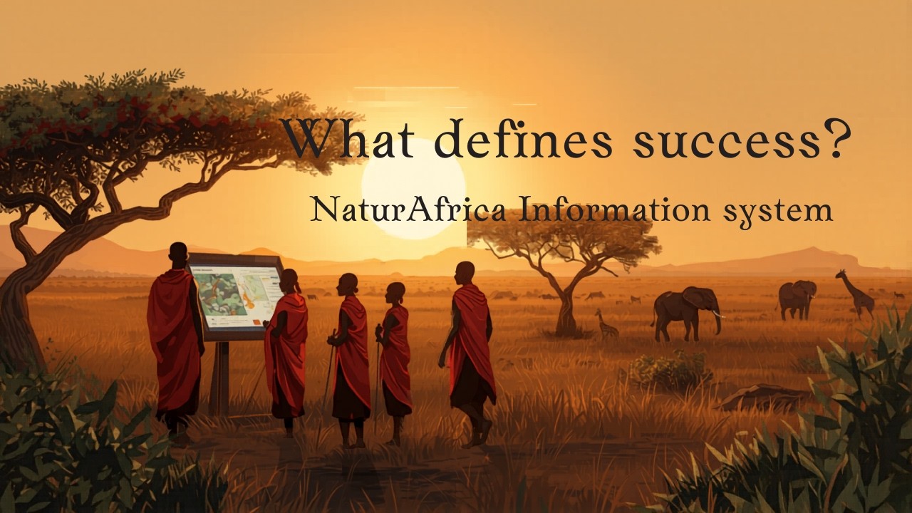
This week on #TechThursday, we spotlight key insights from the #NaturAfrica Information System Workshop held in Nairobi in March 2026. The conversations unpacked both the opportunities and the comp...
...odels on selected regions and assess their ability to generalize across diverse geographical areas. Such datasets enable a wide range of SDG‑relevant applications.
For ITU, global geospatia...
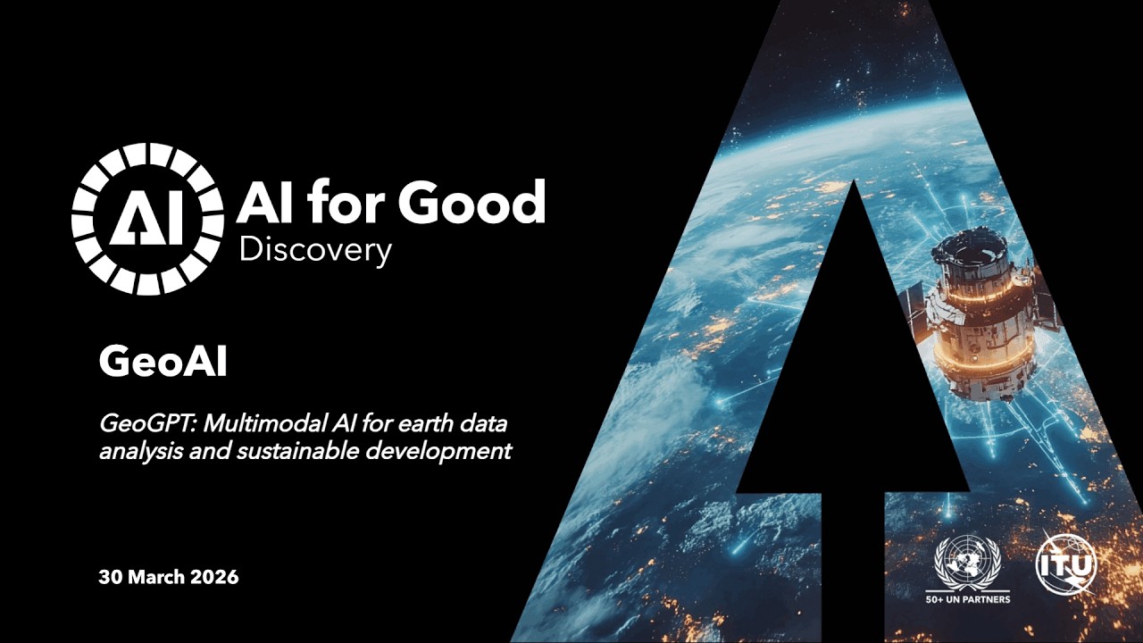
GeoGPT is a multimodal Earth AI system developed by scientists around the world and guided by a Governance Committee to support Earth data analysis for sustainability applications. Built on large f...
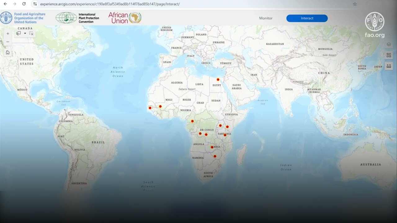
Programme phytosanitaire Africain (PPA) : Le plateforme SIG
www.ippc.int
Cette vidéo fait partie d’une série de formations, développées dans le cadre du Programme phytosanitaire Africain (PPA) de la Convention internationale pour la protection des végétaux...

The Internet Society Kyrgyzstan Chapter is working to bring connectivity to remote areas, focusing on glacier monitoring as a critical use case. By deploying low-cost sensors and lev...
