 Pacific Community
30d ago
Pacific Community
30d ago
▶
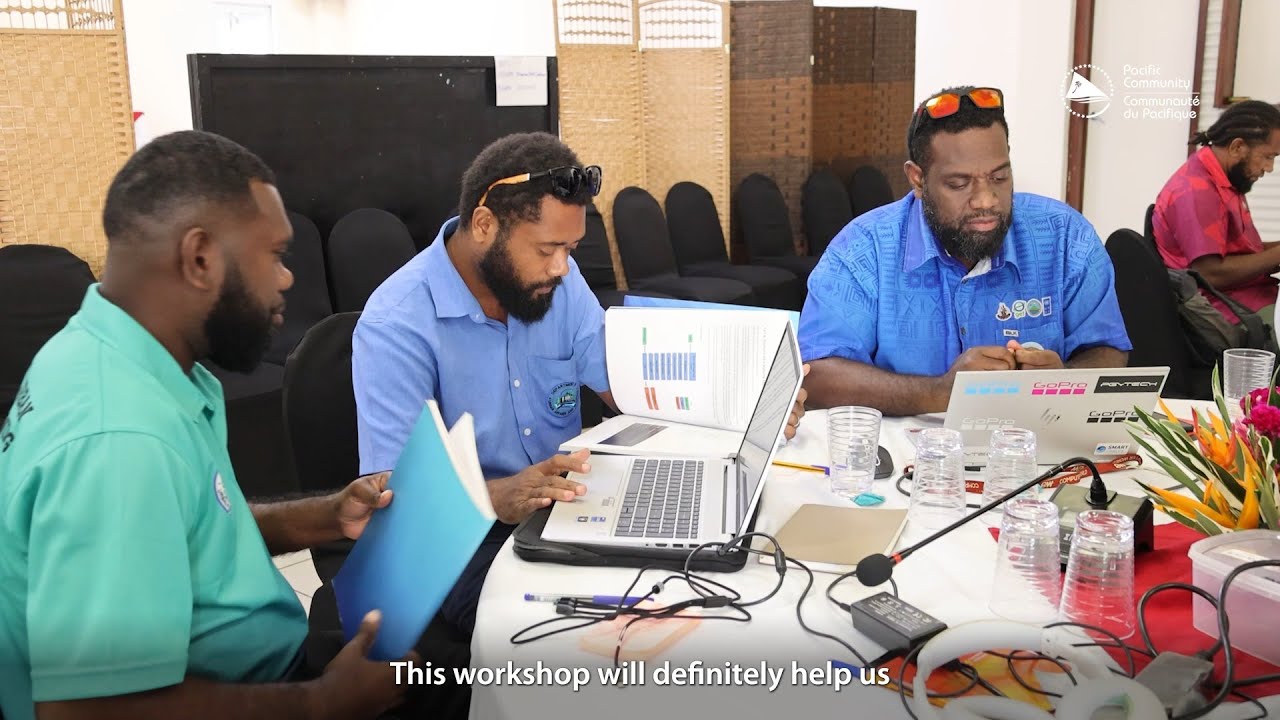
Strengthening Infrastructure Resilience in Vanuatu Through Geospatial Innovation
#ResilientPacific | To strengthen the country’s capacity to plan for and respond to growing climate and disaster risks, the Pacific Community (SPC) under the National Surveys for Infrastructure Resilience Geospatial Databases to Support Exposure Modelling Project is supporting Vanuatu through a technical mission.
📈With increasing exposure to cyclones, flooding, and rising sea levels, the need for reliable exposure data and risk-informed decision-making is more critical than ever.
🤝In collaboration with the Department of Urban Affairs and Planning (DUAP), and with funding from the Coalition for Disaster Resilient Infrastructure (CDRI), SPC is delivering interactive Geospatial Information Survey (GIS) training and supporting the setup of a geospatial data system (#GeoNode) within DUAP to enable centralised data management, resilient urban planning, and evidence based decision making for sustainable urban development.
This initiative brings together government stakeholders and technical experts to strengthen the use of spatial data for infrastructure resilience, enabling better planning, stronger systems, and more informed responses to future hazards.