 Dimagi
7d ago
Dimagi
7d ago
▶
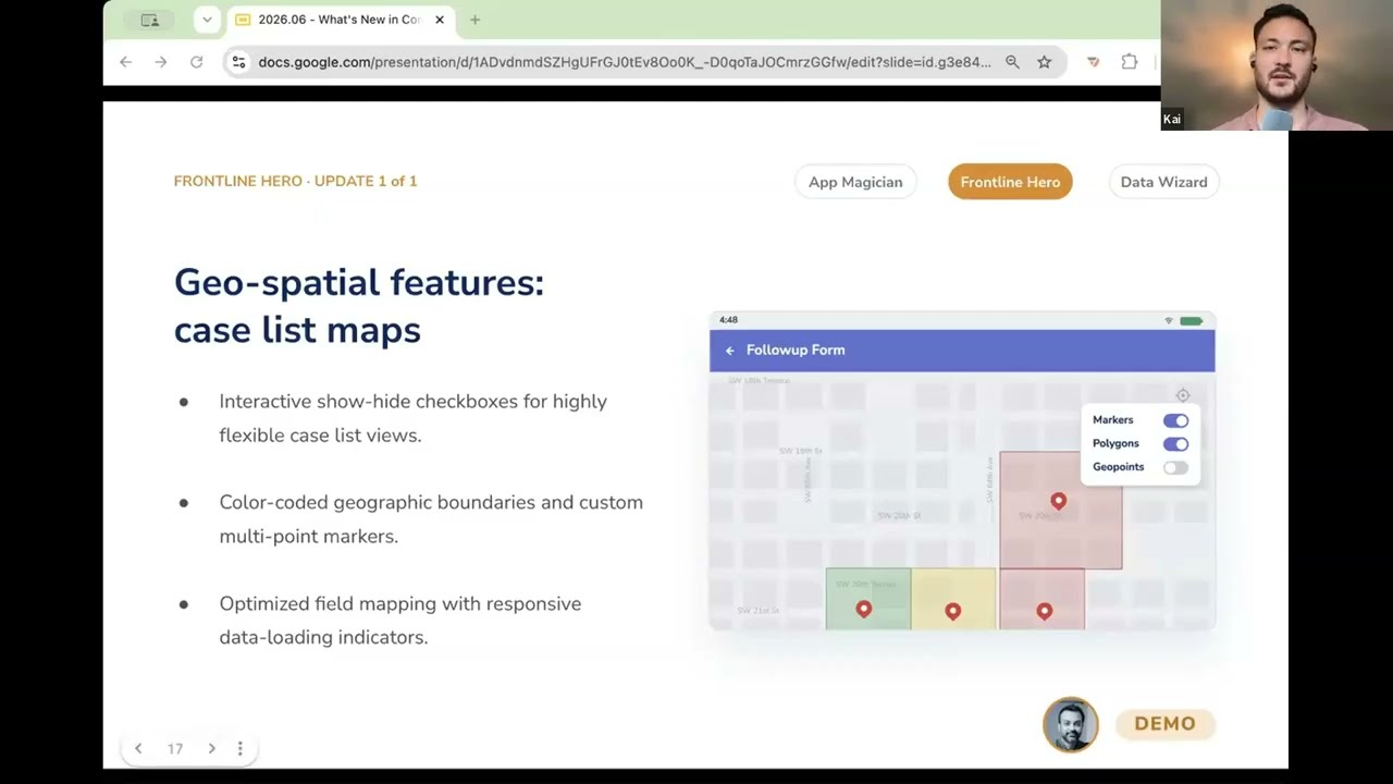
Geospatial Features in CommCare: Mapping for Frontline Workers
In this video, you get a demo of CommCare's geospatial feature upgrades that turn a frontline worker's case list into an interactive map. Instead of seeing a list of names, they can see their cases as markers on a map, alongside color-coded zones (geospatial polygons) and static geo points that help them find the right people and plan their visits more accurately. Layers toggle on and off, and distance to each case shows directly in the case list. It's built for real conditions and works offline.
Learn more here: https://dimagi.atlassian.net/wiki/spaces/commcarepublic/pages/2143944766/Geospatial+Features+-+GPS+Maps+and+Distances#Polygons-and-Geo-Points