 European Forest Institute
2d ago
European Forest Institute
2d ago
▶
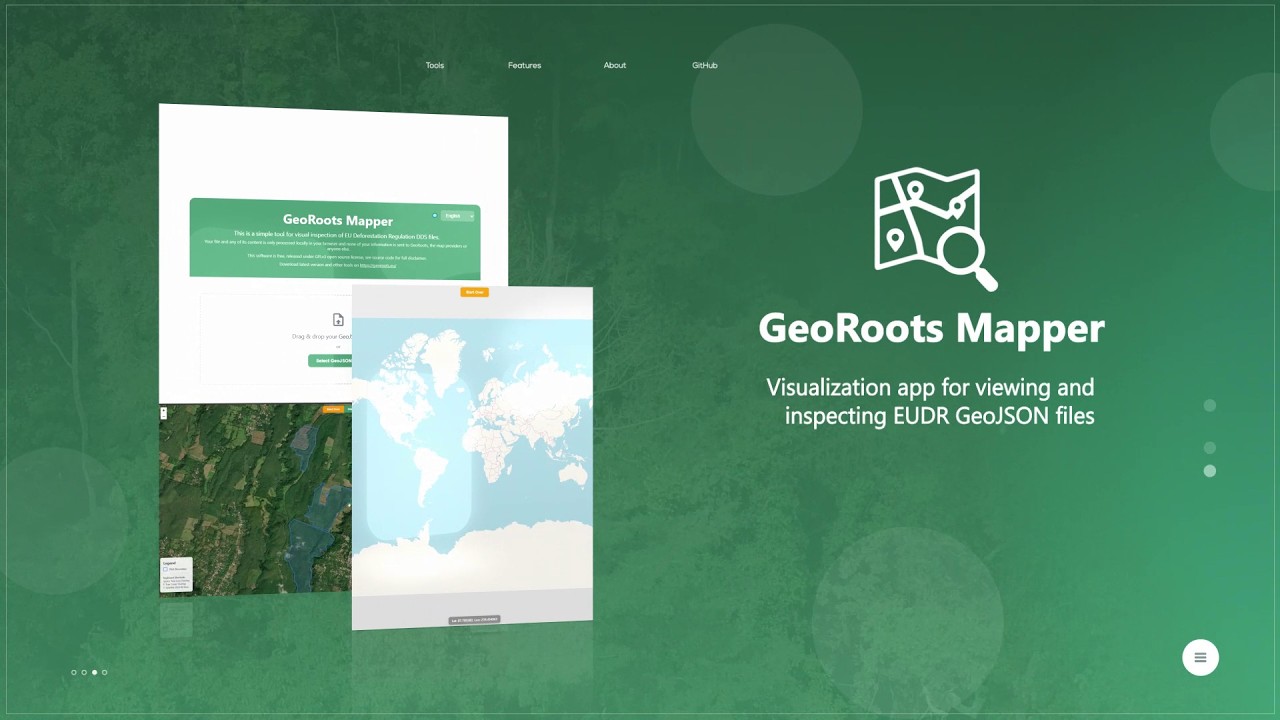
GeoRoots Mapper
GeoRoots Mapper is a tool for the rapid visualization of GeoJSON files. This video shows how to use the GeoRoots Mapper to quickly load and visualise GeoJSON files (polygons or GPS points) on a map. You can use Mapper to conduct a rapid visual inspection of geolocation data and to verify that the agricultural plots are mapped in the correct locations before submitting them for EUDR due diligence.