 Humanitarian OpenStreetMap Team
36d ago
Humanitarian OpenStreetMap Team
36d ago
▶
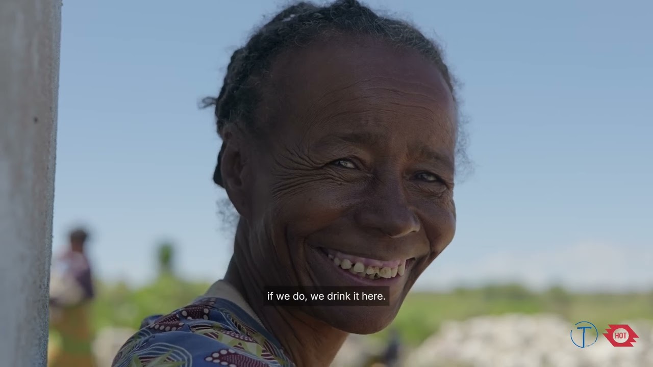
The map that brought water close to Lafike's home
In 2023, the Humanitarian OpenStreetMap Team (HOT) awarded Tatirano a grant through its Open Mapping Grants program, an initiative backing local organizations in Eastern and Southern Africa to create and use open geospatial data for humanitarian and development purposes and to build solutions that could outlast the funding itself.
Using Garmin GPS watches, Tatirano tracked water collectors across the region, recording the routes women walked, the water points they reached, and which roads could carry a 20,000-liter distribution truck. Some women were walking up to 43 kilometers in a single day. Tatirano also mapped roof sizes and types across villages via satellite to understand which households could support a rainwater collection system.