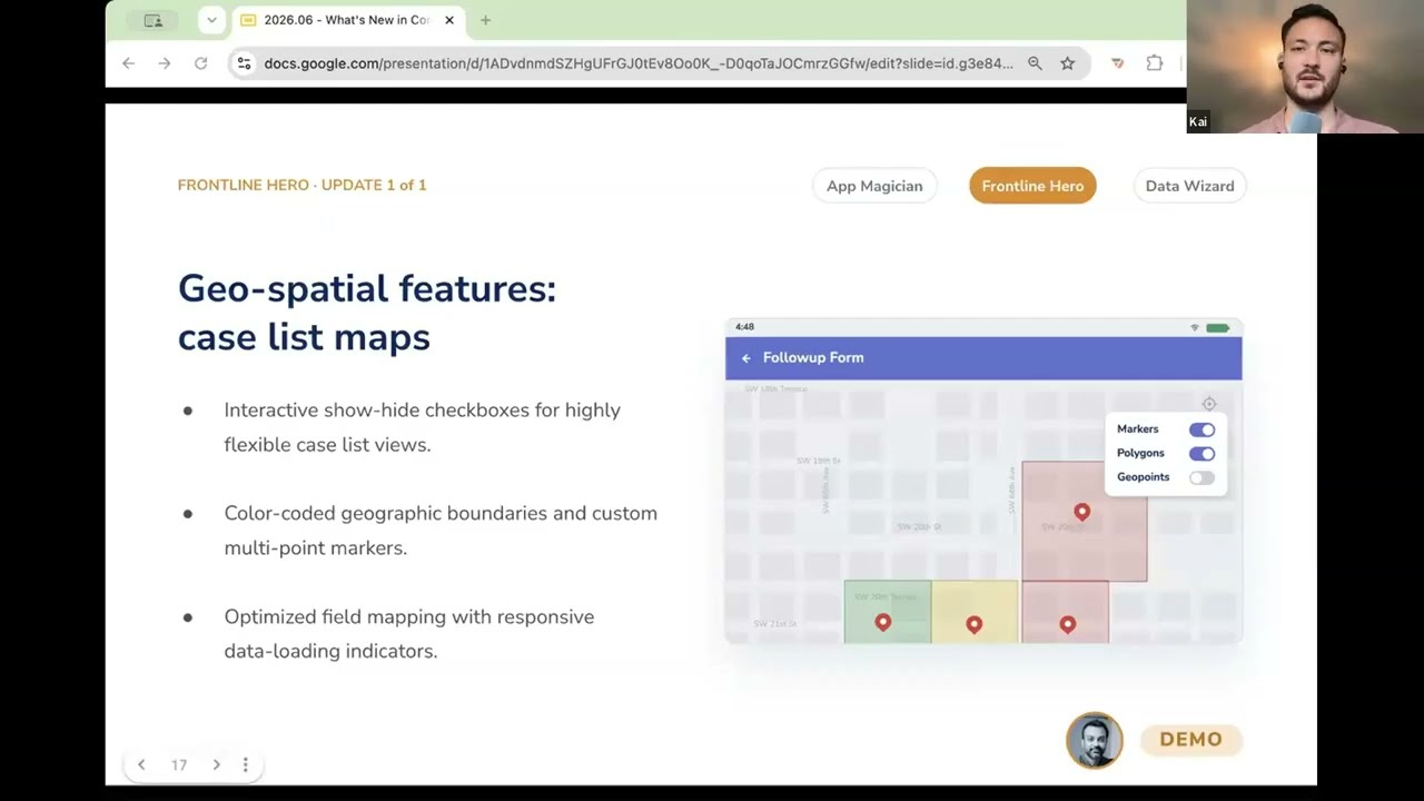
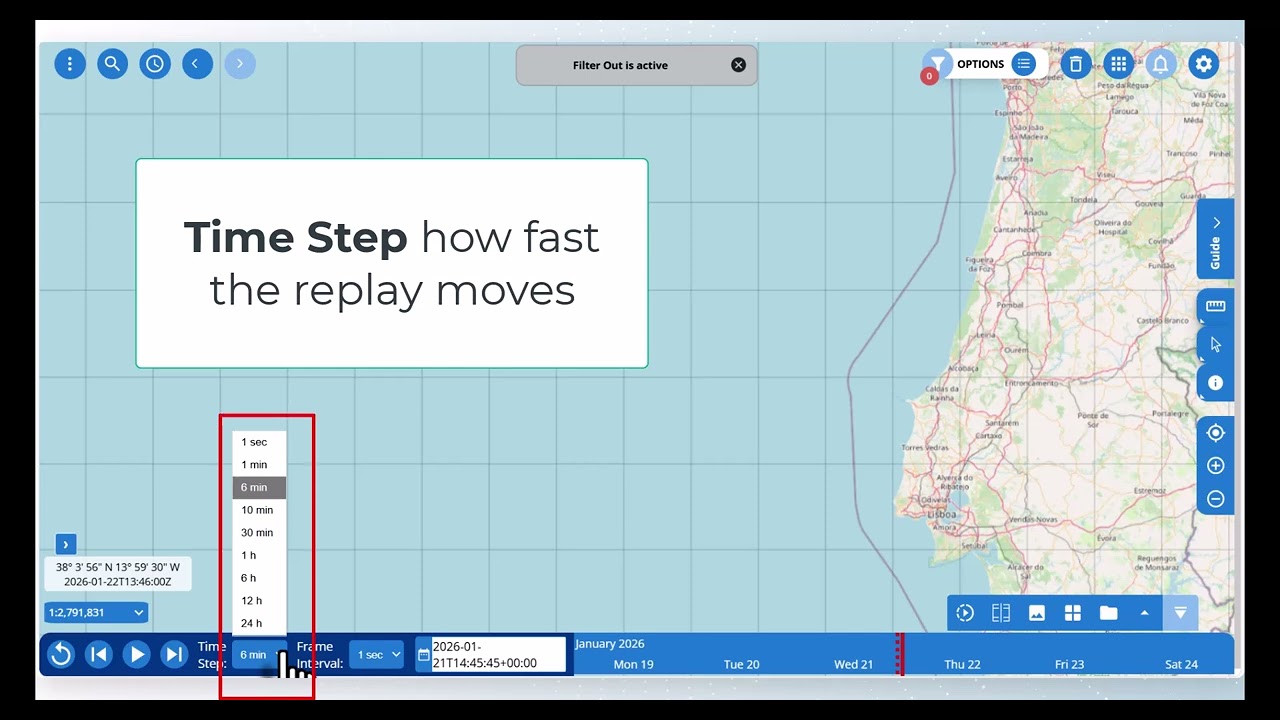
...ditions and works offline.
Learn more here: https://dimagi.atlassian.net/wiki/spaces/commcarepublic/pages/2143944766/Geospatial+Features+-+GPS+Maps+and+Distances#Polygons-and-...
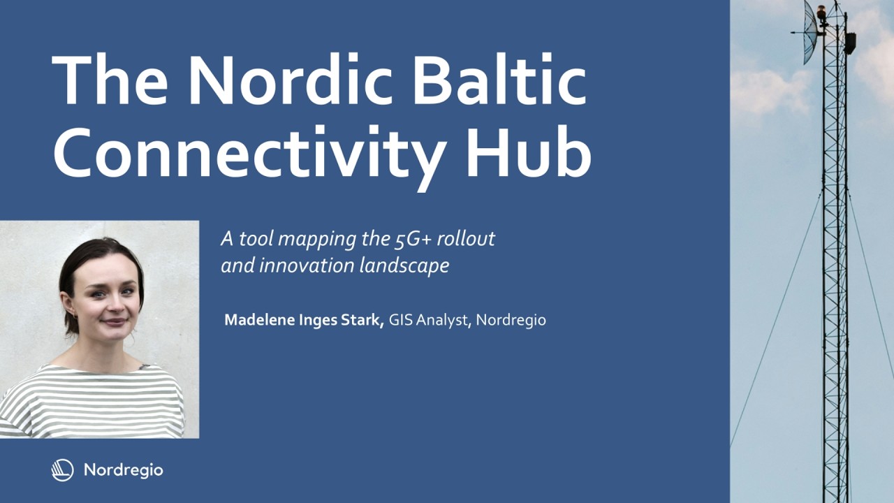
Join Madelene Inges Stark, GIS Analyst and tool developer at Nordregio as she explores the Nordic-Baltic Connectivity Hub: A tool for mapping and connecting the region
How to Make User-centric Maps? | Insights from Global Mapping Experts | Episode 2
Explore what goes into making user-centric maps and information systems, from persona creation to governance and more.
Maps - like public transport - are a part of every journey and city, making m...
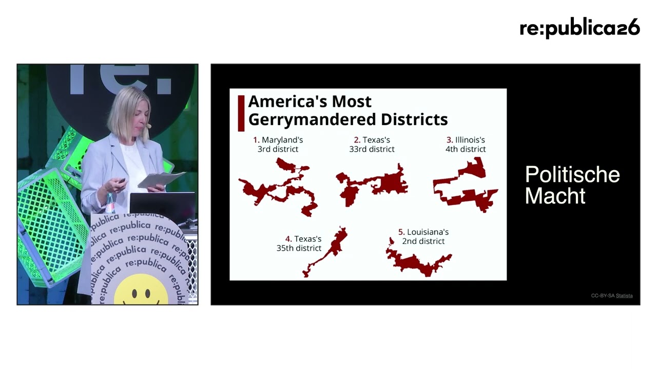
Mapping ist Macht: Wie Karten als Werkzeuge der Kontrolle dienen
„Mapping the Future“, „Mapping the Digital Divide“, „Mapping the Impact of AI“ – heutzutage wird fast alles „gemappt“. Wir kartiere...
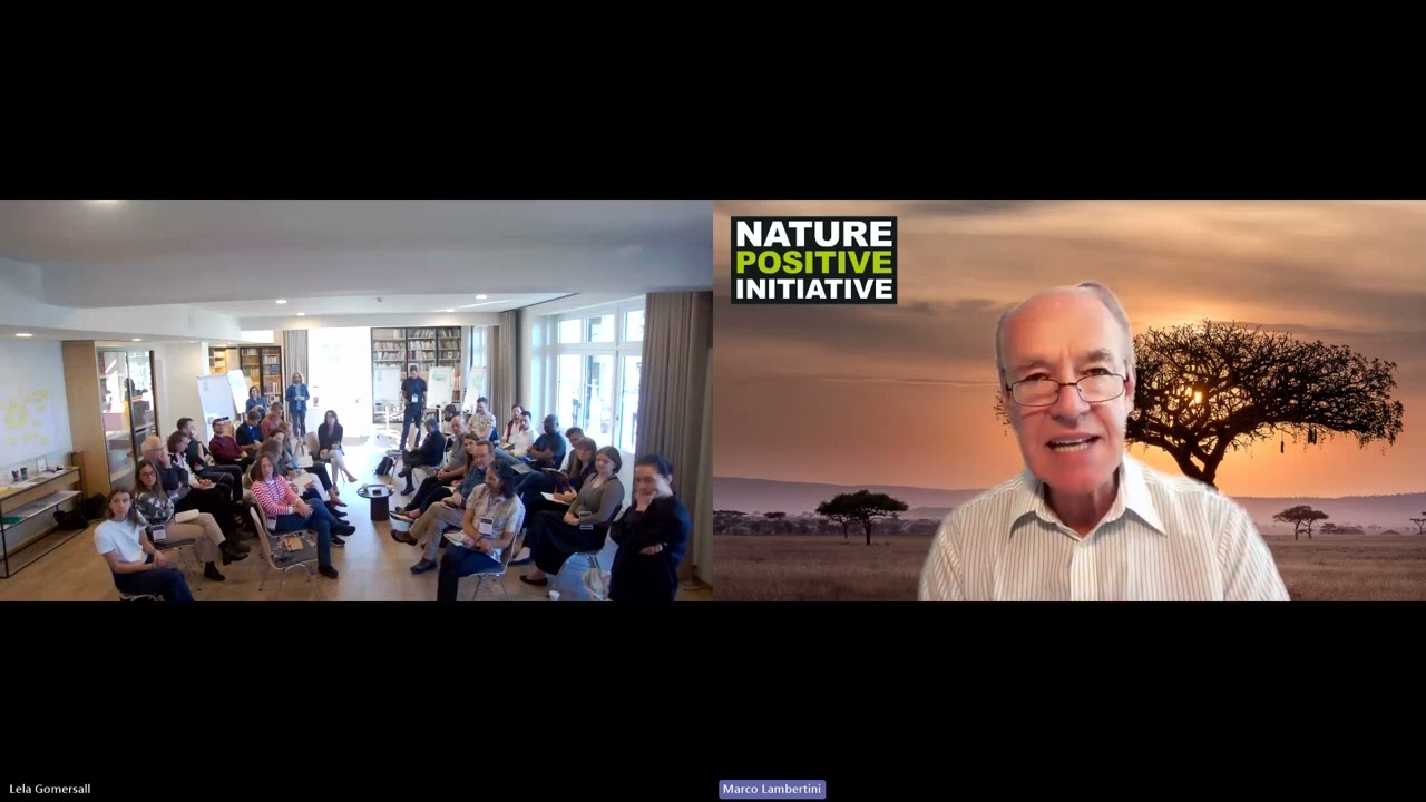
Marco Lambertini addresses the Atlas Villars Workshop on Nature Measurement Protocol
Pigeons can pinpoint their location hundreds of kilometers from their roosts and navigate home autonomously, only using smell, the sun, and even Earth’s magnetic field.
#kurzgesagt
#inanutshell #...
Why Are Maps Important? | Insights from Global Mapping Experts | Episode 1
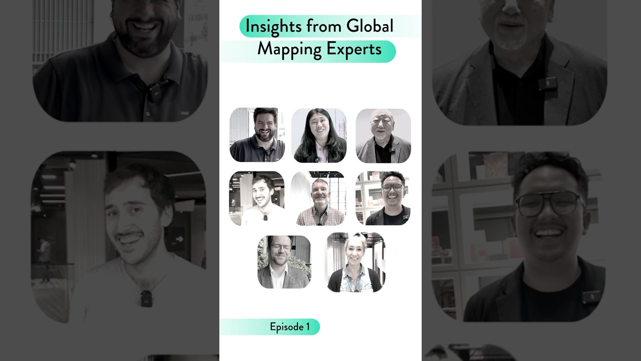
Explore what makes aesthetic, integrated, and inclusive maps so important from global public transport professionals working in mapping.
Maps - like public transport - are a part of every journey ...
Discover Odoo 👉 https://www.odoo.com/r/ysX
The first app is free for life. Thanks to Odoo for sponsoring this video!
Our LIMITED EDITION Visiting Comet Pin is here: https://shop.kgs.link/collectib..
Presentation by Chiara Phillips in the scope of the Ocean Sessions - Dataviz Challenge.
Check out the latest Space Souvenirs Drop on the kurzgesagt shop: https://shop.kgs.link/space-souvenirs, a special col...
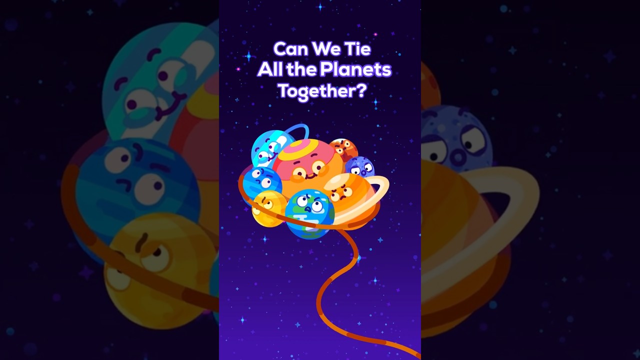
What if we tied all the planets together with one giant rope? Their different speeds, spins, and the Sun itself would quickly turn the Solar System into chaos. Let’s go!
#kurzgesagt
#inanutshell #...
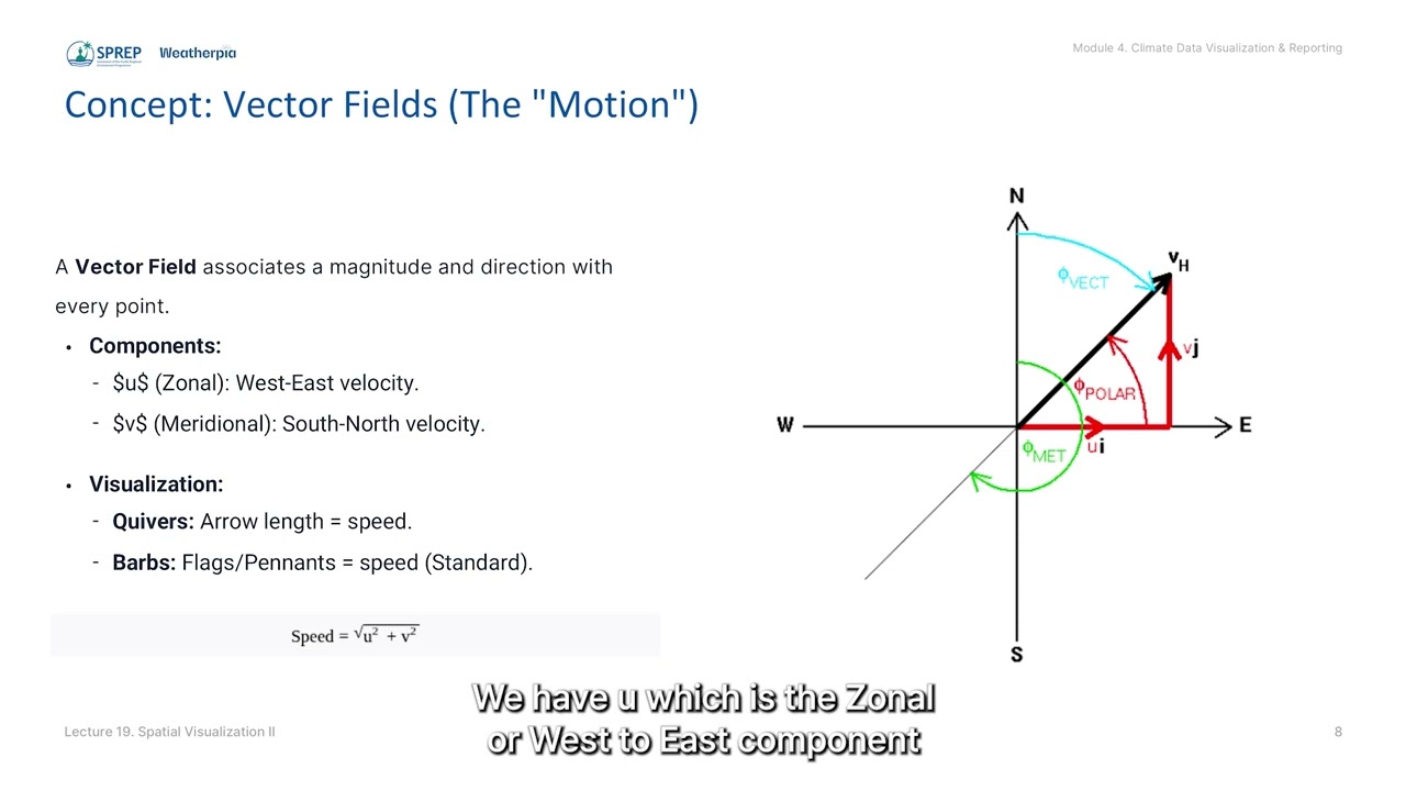
Lecture 19: Spatial Visualization II: Advanced Contour & Vector Plotting
Equips participants with Open Source tools to create advanced spatial maps, aiming to enhance national sovereignty over climate insights.
Lecture 18: Spatial Visualization I: Geographic Mapping with Cartopy/sf
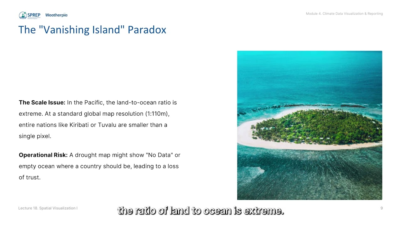
Compares the Object-Oriented approach of Python’s Cartopy against the Grammar of Graphics approach of R’s sf and ggplot2 for powerful control over map projections.
Using the Atlas of Heart Disease and Stroke to Address Stroke Burden and Proximity to Stroke Centers
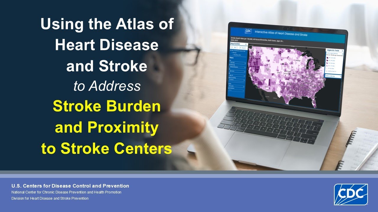
The Atlas of Heart Disease and Stroke is a data-rich tool anyone can use to examine the cardiovascular disease burden in communities across the United States. In this presentation, we will walk thr...
YouTube sensations and all-around cartographical nerds Jay Foreman and Mark Cooper-Jones—better known as Map Men—discuss their debut book, This Way Up: When Maps Go Wrong (and Why it Matters), a fu...
Why Africa Looks Different on Different Maps
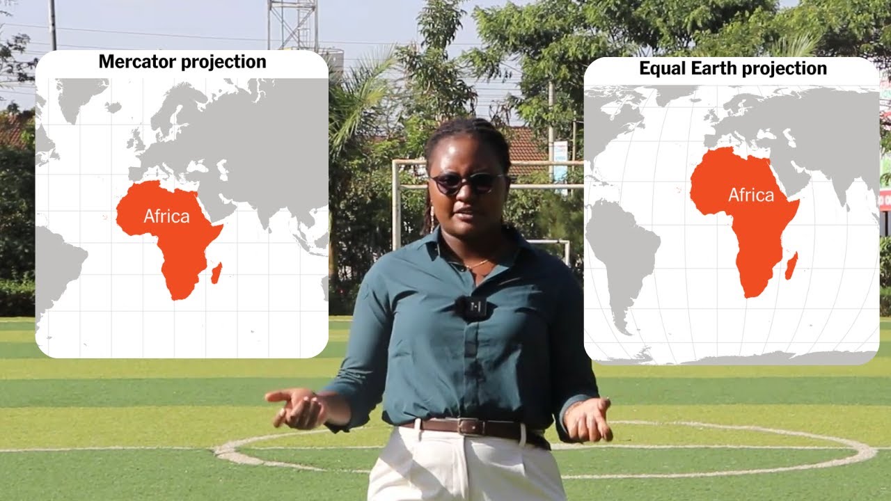
This video explains how map projections and coordinate systems change the way the world is drawn and why the Mercator projection, used in most maps today, makes countries near the equator appear sm...
A demo of the Local SPACE hub led by Phil Street, Digital Learning Lead - Humanitarian Leadership Academy.