 Humanitarian OpenStreetMap Team
57d ago
Humanitarian OpenStreetMap Team
57d ago
▶
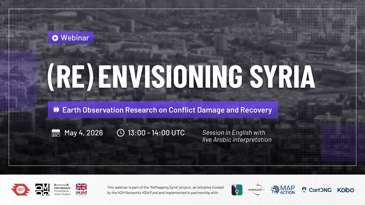
(Re)Envisioning Syria: Earth Observation Research on Conflict Damage and Recovery
Syria's prolonged conflict has reshaped cities, landscapes, and livelihoods at a scale that demands careful documentation and analysis. As Syria enters a fragile transition, earth observation is powerful in identifying the impact of conflict across space and time, offering evidence that is difficult or impossible to gather on the ground.
This webinar brings together researchers from the Decentralized Damage Mapping Group (DDMG) to share findings on urban destruction, environmental change, and related impacts across Syria. Drawing on satellite data and remote sensing methods, these perspectives aim to support the humanitarian and recovery communities working to rebuild Syria equitably and accountably.
The session is organized by HOT and DDMG with support from the H2H Network, whose Syria activation brings together a consortium of organizations to strengthen humanitarian information management, coordination, and geospatial data for response and recovery.
Panels:
03:56 Thirst for Peace: War and Water Security Challenges Along the Orontes River in Syria - Marie Schellens, Independent Researcher
24:56 Impacts of Armed Conflicts on Agricultural Land Use in Syria - He Yin, Kent State University
35:53 Monitoring Conflict-Linked Environmental Impacts in Syria with Earth Observation - Wim Zwijnenburg, Pax for Peace
47:04 Satellite Mapping of Urban Damage During the Syrian War - Jamon Van Den Hoek, Conflict Ecology Lab, Oregon State University
56:10 Q&A session
Session in English with live Arabic interpretation
Moderated by Jessie Pechmann, HOT
Learn more about the ReMapping Syria project: https://bit.ly/remapping-syria